
Visitor & Travel Categories
Business & Economic Categories
Custer County, Nebraska: A Welcoming Heartland Destination
Discover the Rich Heritage, Scenic Beauty, and Vibrant Communities of Custer County
Introduction
Nestled in the heart of Nebraska, Custer County is a region that beautifully blends small-town hospitality with the state’s celebrated rural charm. Whether you are a history enthusiast, a nature lover, or simply looking to explore authentic Nebraska communities, Custer County offers a warm welcome and a wealth of opportunities for discovery.
Location
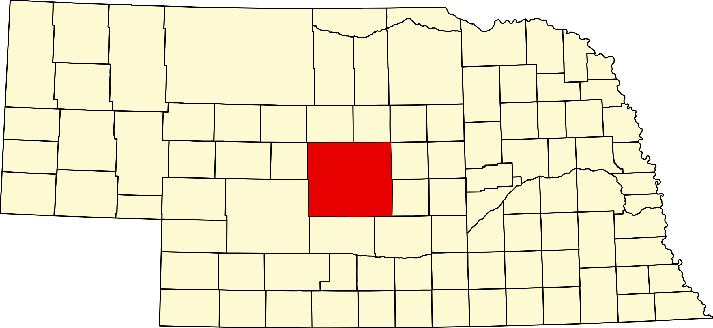
Custer County is centrally located in Nebraska, making it easily accessible from various parts of the state. It is bordered by Blaine County to the north, Valley and Sherman Counties to the east, Dawson County to the southeast, Buffalo County to the south, and Lincoln and Logan Counties to the west. Its central position allows visitors to experience both the rolling prairies and the scenic Sandhills that define the Nebraska landscape.
Adjacent Towns
- Broken Bow: As the county seat, Broken Bow is a vibrant community known for its local businesses, friendly atmosphere, and annual festivities.
- Callaway: Located to the northwest, Callaway is celebrated for its historic sites and close-knit community spirit.
- Arnold: Situated near the western edge, Arnold offers a gateway to outdoor adventures and local events.
- Mason City: To the northeast, Mason City provides a glimpse into Nebraska’s agricultural heritage and rural life.
- Merna: West of Broken Bow, Merna is a charming town with a strong sense of community and local pride.
Points of Interest
- Nebraska State 4-H Camp: A popular destination for youth and families, offering educational programs and outdoor activities in a beautiful setting.
- Victoria Springs State Recreation Area: Known as one of Nebraska's oldest state recreation areas, this park features natural springs, historic cabins, and tranquil picnic spots.
- Custer County Museum: Located in Broken Bow, the museum preserves and showcases the region's pioneer heritage, artifacts, and local stories.
- Scenic Byways and Trails: Explore picturesque driving routes and hiking trails that highlight the county's stunning landscapes and unique wildlife.
Historical Facts
Custer County was established in 1877, named after General George Armstrong Custer. Since its founding, the county has played an important role in Nebraska’s agricultural and pioneer history. Early settlers were drawn to the fertile land and opportunities for homesteading, and many of their descendants still call the area home today. The county’s historical sites, museums, and annual heritage celebrations continue to honor the enduring legacy of its communities.
Conclusion
Custer County, Nebraska stands out as a destination where history, nature, and community spirit come together. From its welcoming towns and scenic parks to its fascinating historical roots, there is something for everyone to explore and enjoy. Plan your visit and discover why Custer County is considered a true gem in the heart of Nebraska.
Your content goes here. Edit or remove this text inline or in the module Content settings. You can also style every aspect of this content in the module Design settings and even apply custom CSS to this text in the module Advanced settings.
Your content goes here. Edit or remove this text inline or in the module Content settings. You can also style every aspect of this content in the module Design settings and even apply custom CSS to this text in the module Advanced settings.
County Seat: Broken Bow
Founded: Created February 17, 1877; organised that June
Named For: General George Armstrong Custer
License Plate Prefix: 4
Population: 10,545 (2020 census)
Area: 2,576 sq mi — the largest county in Nebraska
History
Custer County was created in 1877 and named for George Armstrong Custer. Broken Bow became the county seat and got its name from a broken Indian bow found near the site — the postmaster needed a name the department would accept, and that one stuck.
The county’s lasting contribution is photographic. Solomon D. Butcher spent years travelling Custer County with a camera, photographing homestead families in front of their sod houses. The resulting collection is the single most important visual record of the sod-house frontier anywhere in the United States, and it was made here.
Geography
Custer County covers roughly 2,576 square miles, which makes it Nebraska’s second-largest county — Cherry County is larger. It is often described as the largest; it is not.
The north-west runs into the Sandhills; the rest is tableland cut by canyons and the valleys of the Middle Loup and South Loup rivers, both of them spring-fed and famously stable in flow. It borders Blaine and Loup counties to the north, Valley and Sherman to the east, Buffalo and Dawson to the south, and Lincoln, Logan and Thomas to the west.
Outdoors — Camping, RV, Hunting & Fishing
Custer is big enough to hold a state recreation area, several village campgrounds and two of the best small rivers in Nebraska. What it has no of is big water — there is no reservoir in the county.
Camping and RV
Victoria Springs State Recreation Area, 43400 Highway S21A, about six miles east of Anselmo. 27 camping pads — 21 with 20-, 30- and 50-amp electric and 6 basic. Drinking water, modern restrooms, showers and a dump-and-fill station on site. Rental cabins, usually closed mid-November to Memorial Day. Half the sites reservable; the rest first come, paid at an iron ranger that takes cash or cheques only. Park entry permit required. Open year round, shower house seasonal.
Arnold Lake, half a mile south of Arnold on Highway 40. This is a village park, not a state recreation area, despite what many maps still say — so no state entry permit. About 29 sites round a 22-acre lake, some with 30-amp electric and water. Bathrooms with hot showers, closed off-season. Roughly $25 for a hookup site, $10 primitive, honour system.
The dump station is not in the campground — it is north of the park entrance on the west side of the highway, across the bridge. Two independent sources agree.
Tomahawk Park RV Complex, Broken Bow — water, electric and sewer at the sites, showers, restrooms and a dump station on site, $35 a day. Lake Ansley at Ansley has about six full-hookup spaces at 30 and 50 amp, $25 a night, reservations required, no showers, rigs to about 27 feet. Morgan Park at Callaway has 30-amp sites, showers and restrooms at around $15. Hidden Valley Campground outside Arnold is private, with full hookups and a modern shower building, early April to late September.
Pressey WMA, five miles north of Oconto on Highway 21, offers free camping that includes electrical hookups and restroom access — unusual for a WMA. Most sites sit right along the South Loup. Fourteen-day limit, first come, year round. No dump station.
Fishing
All the still water here is small. Victoria Springs Lake is five acres and spring-fed, with largemouth bass, bluegill, channel catfish and seasonally stocked rainbow trout; non-powered boats and electric trolling motors only, and a park entry permit is required on top of a fishing permit. Arnold Lake is 22 acres and stocked. Lake Ansley and the Melham Park pond at Broken Bow are each about five acres, both with accessible fishing decks.
The real fishing is the rivers. The Middle Loup and South Loup are clear, cool and remarkably steady in flow, and hold channel catfish. Access is mainly at bridges and through Pressey WMA, which also has a fishing pond. Both rivers are designated state water trails. For boat anglers the nearest big water is Sherman Reservoir, about forty miles east, or Calamus, about fifty-six miles north-east — both outside the county.
Hunting
Pressey WMA is the anchor — about 1,700 acres along the South Loup, donated to the state by Henry E. Pressey in 1930, straddling Highway 21 with access on both sides. It includes a public shooting range as well as restrooms and free camping. Milburn WMA is also in the county, on the Middle Loup.
Game is unusually varied because of the terrain: whitetail and mule deer, turkey in the timbered canyons, pheasant in the farm country, and sharp-tailed grouse and greater prairie-chicken toward the Sandhills in the north-west. Open Fields and Waters tracts rotate annually.
The Sandhills Journey byway
Nebraska Highway 2 — the Sandhills Journey National Scenic Byway — runs 272 miles from Grand Island to Alliance and crosses the length of Custer County through Broken Bow, Anselmo and Merna. The byway visitor centre is in a red barn-style building at 44106 Highway 2 in Broken Bow, and it is the best orientation stop in the county.
Victoria Springs has a two-mile nature trail and the mineral springs the park is named for. Melham Park at Broken Bow has a walking and cycling path, a heated Olympic-size pool and the stocked pond.
Events
The Custer County Fair at Broken Bow anchors the summer, and Broken Bow, Arnold, Callaway, Ansley, Sargent and Merna each hold their own celebrations.
Dates move year to year, so they are kept with the listings rather than repeated here.
Browse event listings in Custer County →
Submit an event or correction →
Custer County at a Glance
Custer County, Nebraska — about 2,576 square miles of tableland, canyon and Sandhills in the centre of the state, and Nebraska’s second-largest county after Cherry. County seat Broken Bow. This is the country Solomon D. Butcher photographed, leaving the finest visual record of the sod-house frontier in America. 326 listings across 17 towns.
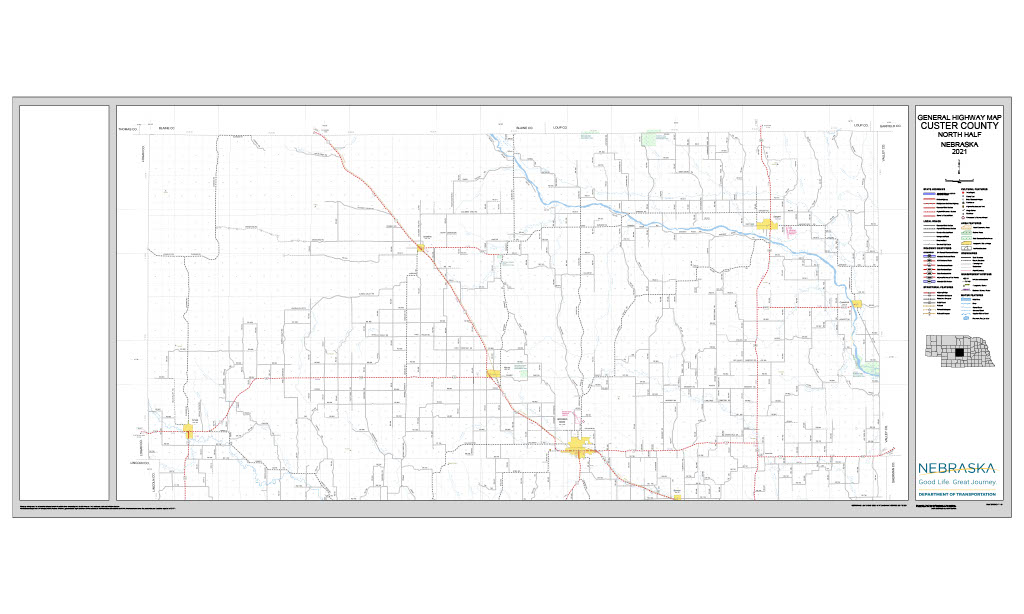
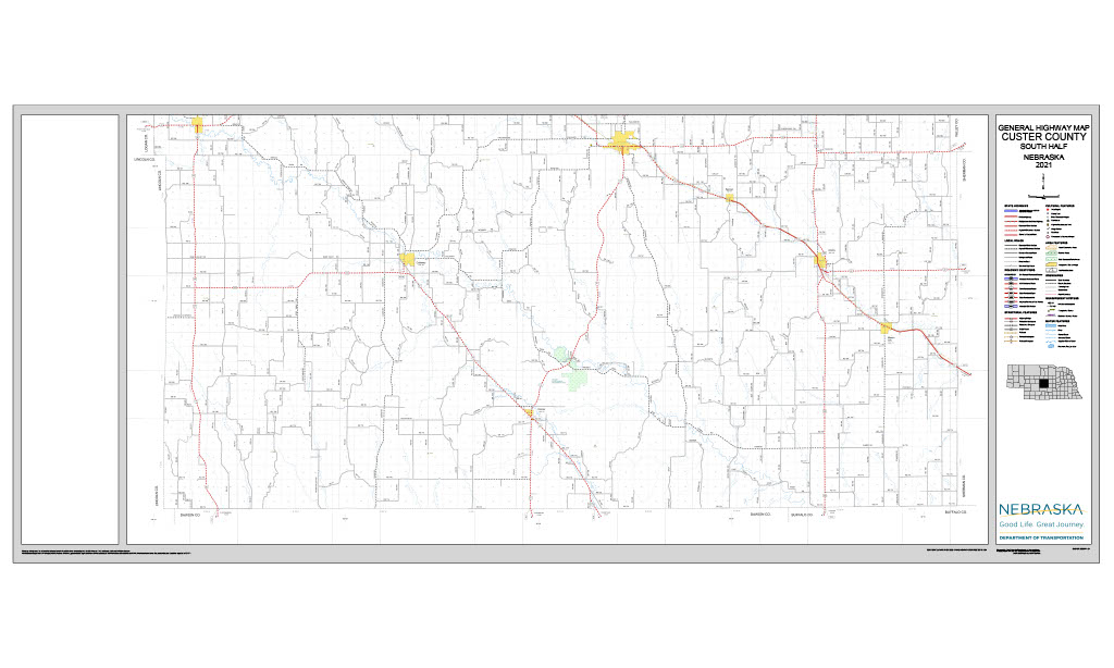
Getting there: NE-2, the Sandhills Journey National Scenic Byway, crosses the county through Broken Bow, Anselmo and Merna; NE-21, NE-40, NE-70 and NE-92 serve the rest.
For visitors: Victoria Springs State Recreation Area near Anselmo, with 27 pads and an on-site dump station; Pressey WMA on the South Loup, offering free camping with electric hookups and a public shooting range; and the clear, spring-fed Middle and South Loup rivers, both designated state water trails.
Vehicles registered in Custer County carry license plate number 4. See what every Nebraska county number means.