
Nebraska Highway 183
U.S. Highway 183 is Nebraska's central north-south corridor — 260 miles connecting the Kansas border at Alma to the South Dakota border above Springview. The route crosses the Platte River, traverses the Nebraska Sandhills, and intersects the state's major east-west highways along the way. Browse the county sections below or use the Explore Nebraska directory to find towns and places of interest along the corridor.
Nebraska Highway 183
Nebraska's central spine — from the Republican River to the South Dakota plains.
U.S. Highway 183 runs north-south through the heart of Nebraska for approximately 260 miles, connecting the Kansas border near Alma to the South Dakota border north of Springview. It crosses every major east-west corridor — Interstate 80, Highway 30, and Highway 20 — threading the Sandhills, the Platte River Valley, and the Republican River basin along the way.
Highway 183 holds a distinction unique among U.S. highways: its 20-mile segment through Loup County north of Taylor was the very last section of any U.S. numbered highway to be paved — a milestone reached in 1967. The corridor runs through eight Nebraska counties and dozens of communities, from the reservoir country of the south to the open ranching plains of the north.
Entering Nebraska from Kansas
U.S. Highway 183 crosses into Nebraska from Kansas south of Alma, where it immediately meets the Republican River and skirts the northern shore of Harlan County Lake. The corridor then runs north for 260 miles to the South Dakota border — crossing the Platte River and Interstate 80 near Elm Creek, traversing the heart of the Sandhills through Custer and Loup Counties, meeting Highway 20 at Bassett in Rock County, and ending at Springview in Keya Paha County. Start your journey in Harlan County, or use the navigation above to explore each county along the route.
Start your journey in Sioux County, or use the navigation below to explore each county along the route.
Harlan County
County Page:
Harlan County
Towns:
Alma · Arapahoe · Republican City
Harlan County
County Page: Harlan County Towns: Alma · Arapahoe · Republican CitySioux County
County Page:
Sioux County Cameras
Towns:
Harrison ·
Monroe ·
Agate ·
Andrews
Have photos, memories, or updates for Sioux County?
Visit our Contribute page and use code UPD-SIOUX.
E of Harrison on US 20 looking East
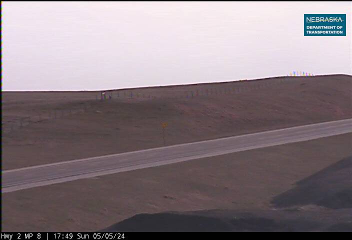
Harrison on US 20 looking West
East of Harrison on Highway 20 looking East
East of Harrison on Highway 20 looking West
Highway 183 enters Nebraska from Kansas south of Alma, crossing the Republican River and skirting Harlan County Lake — one of Nebraska's largest reservoirs at 13,000+ acres. The lake was created by Harlan County Dam (1952) and offers some of the finest fishing and water recreation in the central plains. Alma, the county seat, anchors the southern corridor on the lake's north shore.
From Alma, Highway 183 runs briefly concurrent with U.S. Highway 136 before turning north through the Republican River Valley's fertile bottomlands. Arapahoe and Republican City serve travelers along the southern corridor. As the highway heads north toward Phelps County, the landscape transitions from reservoir plains toward the agricultural heartland of the central Platte country.
Phelps County
County Page:
Phelps County
Towns:
Holdrege · Loomis · Bertrand
Phelps County
County Page: Phelps County Towns: Holdrege · Loomis · BertrandDawes County
County Page:
Dawes County Cameras
Have photos, memories, or updates for Dawes County?
Visit our Contribute page and use code UPD-DAWES.

Whitney Spur on Highway 20 looking East
Whitney Spur on Highway 20 looking West
Holdrege, the county seat of Phelps County, is one of the most complete small cities on the entire corridor — a genuine regional hub at the junction of Highways 6 and 34. The Phelps County Historical Society Museum documents the county's prairie settlement history, including the homesteading era that transformed this landscape in the late 19th century. Holdrege's downtown reflects that heritage of civic ambition on the plains.
Phelps County is some of Nebraska's most productive agricultural land — flat, well-irrigated, and intensively farmed. As Highway 183 continues north toward Kearney County, the Platte River draws near and the Sandhills begin their slow approach from the northwest. The terrain grows more transitional: the Republican River country is behind you, and the Platte Valley corridor is just ahead.
Kearney County
County Page:
Kearney County
Towns:
Elm Creek · Axtell · Heartwell
Kearney County
County Page: Kearney County Towns: Elm Creek · Axtell · HeartwellSheridan County
County Page:
Sheridan County Cameras
Towns:
Gordon ·
Hay Springs ·
Rushville
Have photos, memories, or updates for Sheridan County?
Visit our Contribute page and use code UPD-SHERIDAN.
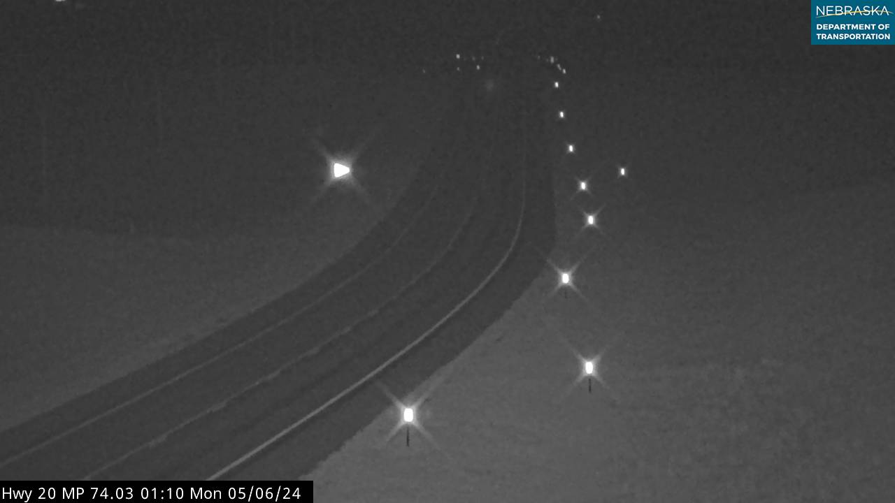
West of Hay Springs on Highway 20 looking East
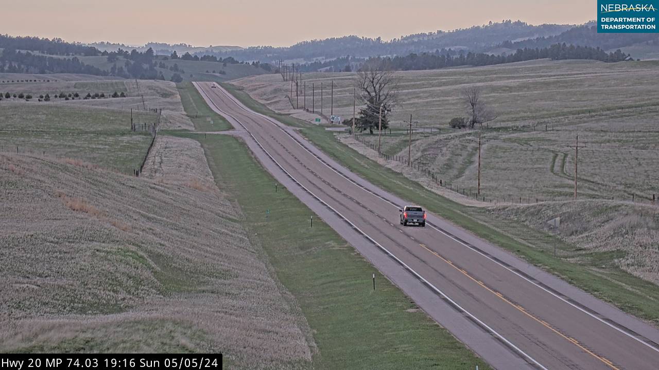
West of Hay Springs on Highway 20 looking East
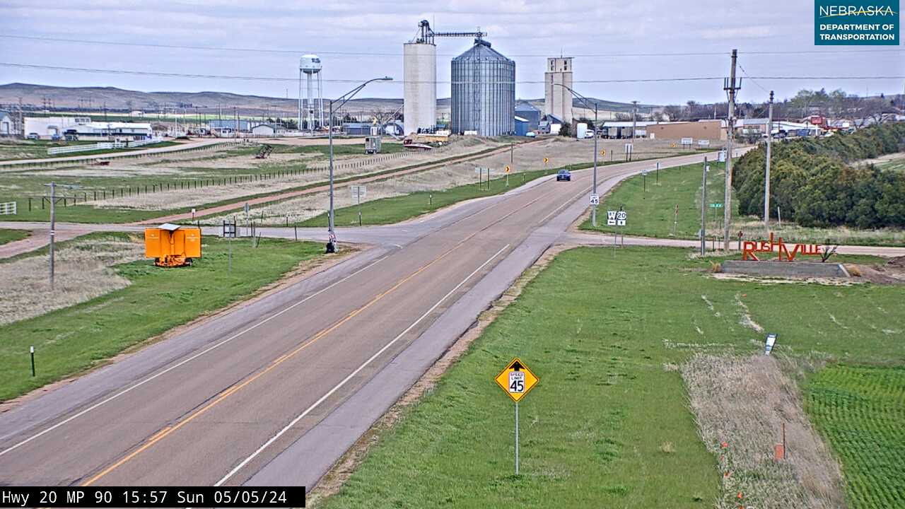
Rushville in Highway 20 looking East
Rushville on Highway 20 looking West
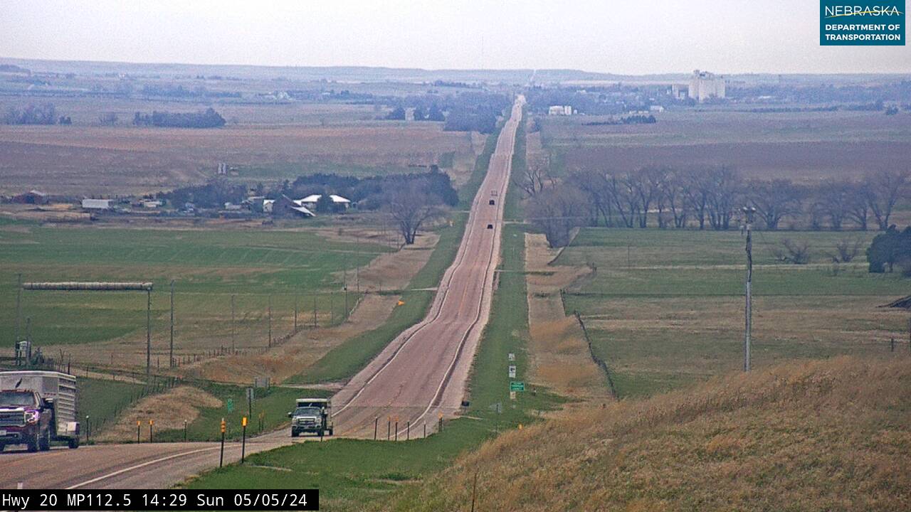
Gordon on Highway 20 looking far West
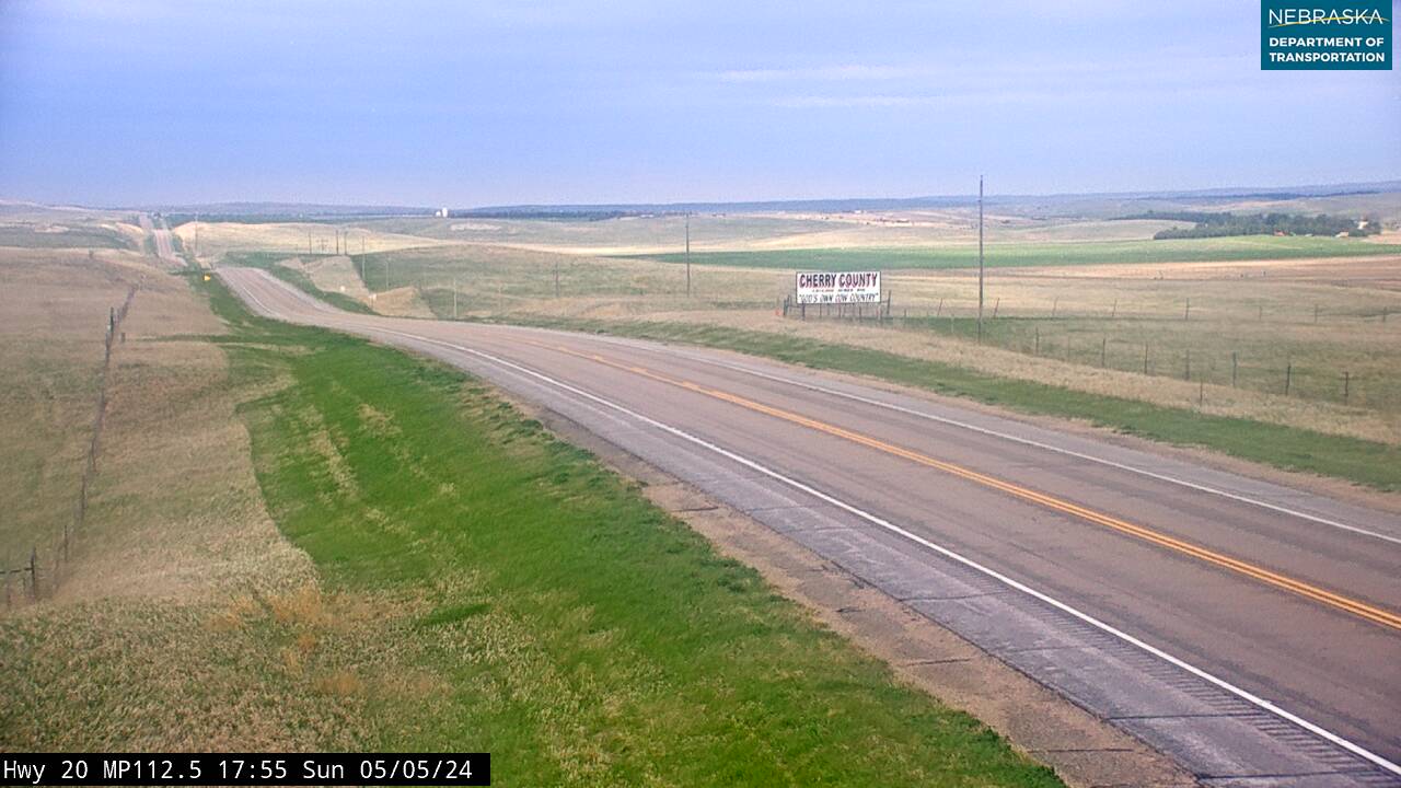
Gordon on Highway 20 looking East
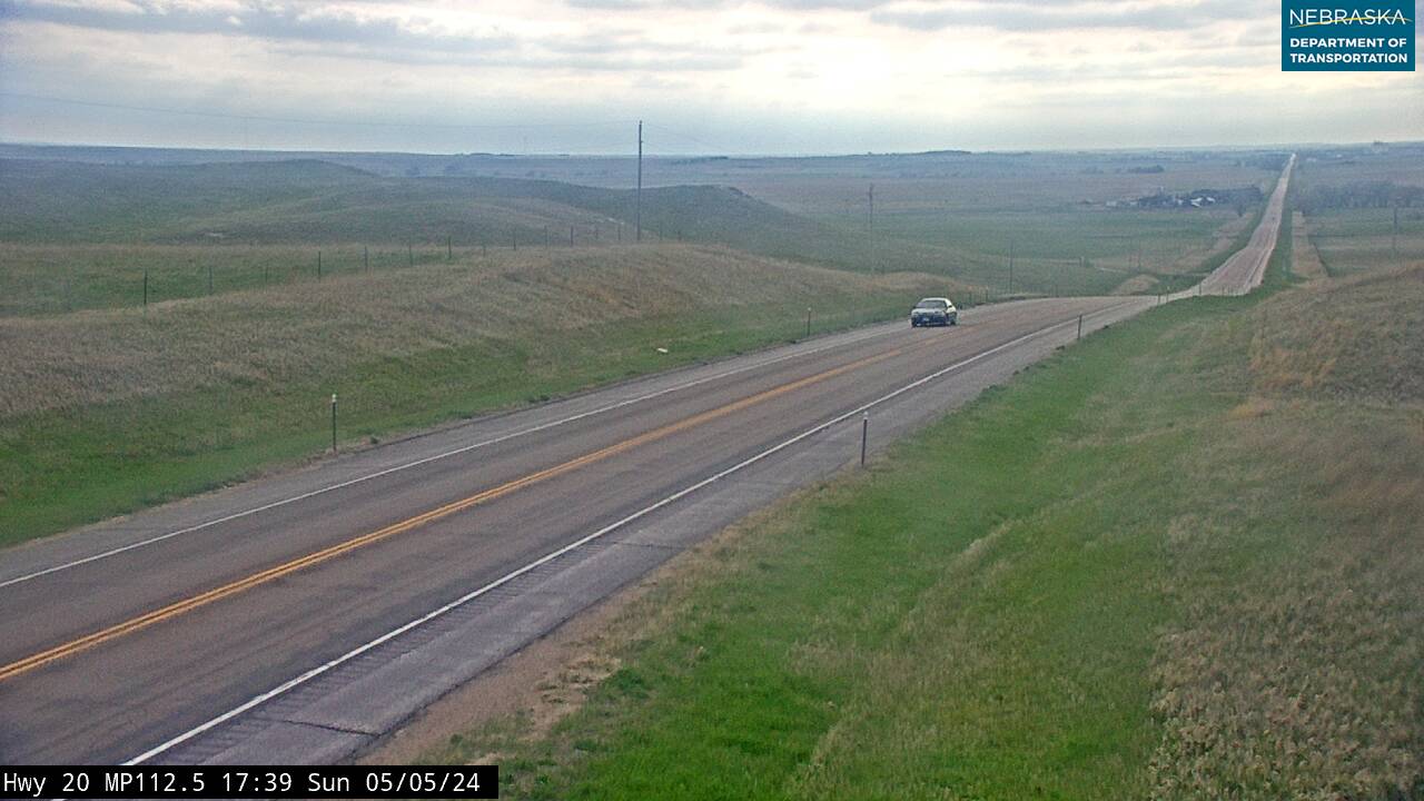
Gordon on Highway 20 looking West
Highway 183 reaches its most significant geographic crossing at Elm Creek — where it crosses the Platte River, meets Interstate 80, and intersects Highway 30. This convergence of three major corridors makes Elm Creek a true crossroads of Nebraska transportation. The Platte River crossing is a genuine divide: below it, the agricultural plains of southern Nebraska; above it, the Sandhills begin in earnest.
Kearney County is compact but pivotal — the transition zone between flat Republican River country and the open Sandhills north of the Platte. Miller sits quietly north of Elm Creek, a small waypoint as the landscape shifts decisively. As Highway 183 continues into Custer County, grasses deepen, horizons widen, and Nebraska's great interior begins.
Custer County
County Page:
Custer County
Towns:
Ansley · Sargent · Broken Bow · Arnold
Custer County
County Page: Custer County Towns: Ansley · Sargent · Broken Bow · ArnoldCherry County
County Page:
Cherry County Cameras
Towns:
Cody ·
Crookston ·
Eli ·
Merriman ·
Nenzel ·
Valentine ·
Woodlake ·
Arabia ·
Bayonne ·
Brownlee ·
Cascade ·
Elsmere ·
Falter Place
Have photos, memories, or updates for Cherry County?
Visit our Contribute page and use code UPD-CHERRY.
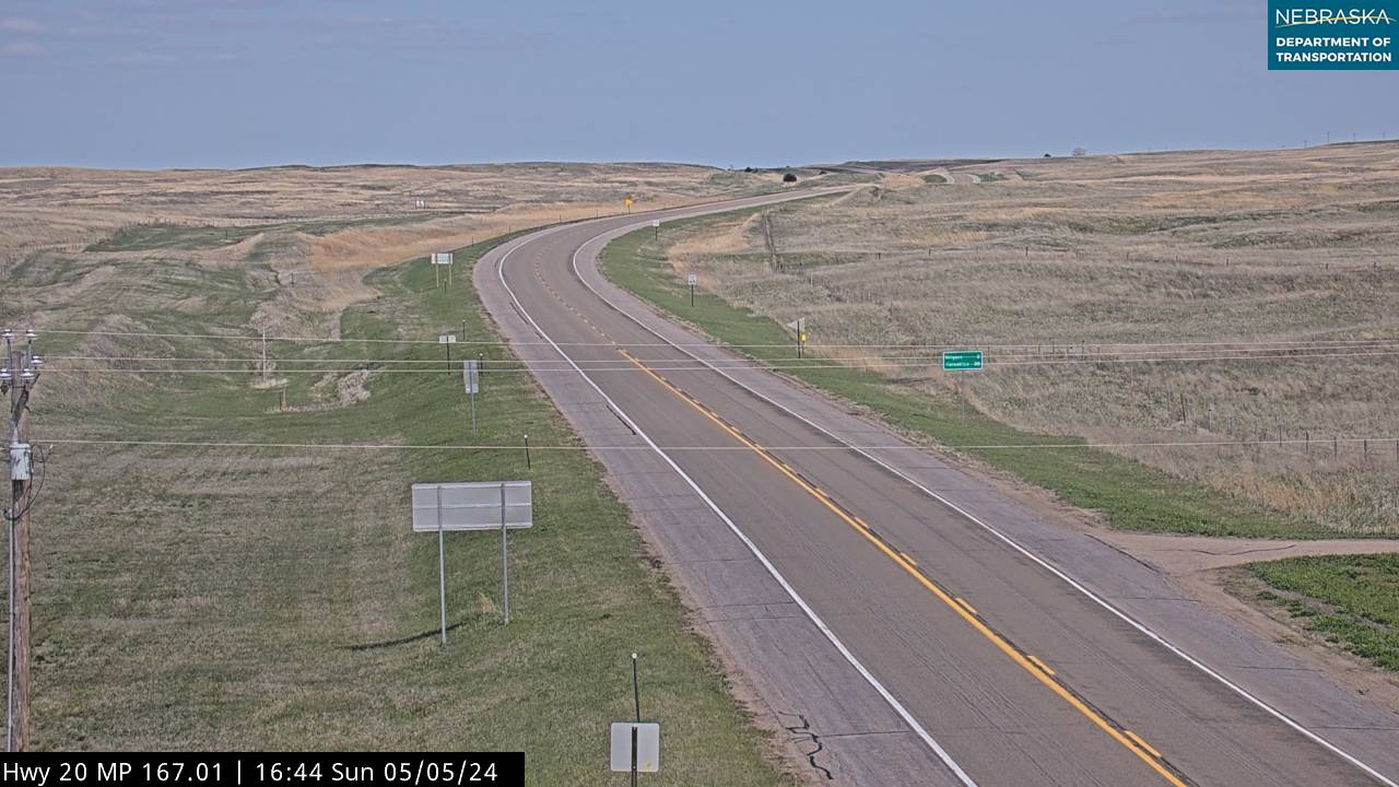
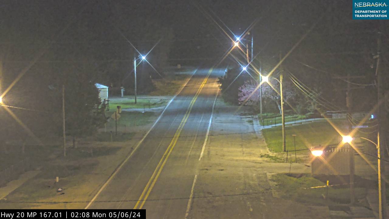
Nenzel on Highway 20 looking East
Nenzrl on Highway 20 looking South
Nenzel on Highway 20 looking West
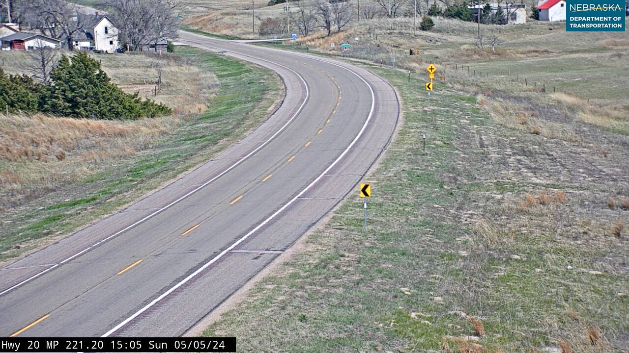
East of Valentine on Highway 20 looking East

East of Valentine on Highway 20 looking South

East of Valentine on Highway 20 looking West
Woodlake on Highway 20 looking East
Woodlake on Highway 20 looking West
Custer County is the largest county in Nebraska — 2,576 square miles of Sandhills grassland, creek valleys, and small towns built on a century of ranching. Highway 183 enters at Ansley, where it meets Nebraska Highway 2, and passes through Sargent before continuing north. Broken Bow, the county seat, lies east of the corridor and is worth the detour for services and a look at one of the Sandhills' most vibrant county towns.
The Sandhills here are in full form — rolling grass-covered dunes to every horizon, interrupted only by windmills, ranch gates, and cottonwood-lined creek draws. Highway 183 threads this landscape with the directness of its original purpose: connecting range country to markets. Crossing into Loup County, the corridor enters some of the most remote terrain on any numbered U.S. highway.
Loup County
County Page:
Loup County
Towns:
Taylor · Almeria
Loup County
County Page: Loup County Towns: Taylor · AlmeriaBrown County
County Page:
Brown County Cameras
Towns:
Ainsworth ·
Johnstown ·
Long Pine
Have photos, memories, or updates for Brown County?
Visit our Contribute page and use code UPD-BROWN.
North of Long Pine on Highway 20 looking at the Bridge

North of Long Pine on Highway 20 looking East
North of Long Pine on Highway 20 looking South
North of Long Pine on Highway 20 looking West
Loup County holds a unique distinction in American highway history. The 20-mile stretch of Highway 183 north of Taylor was the last section of any U.S.-numbered highway to be paved — completed in 1967. Until then, this Sandhills stretch was literally the last unpaved federal highway in the country. Taylor, the county seat, serves fewer than 600 county residents from the center of one of Nebraska's most sparsely settled landscapes.
Loup County is among the least populated counties in the United States — grass, sky, a distant windmill, the highway stretching ahead. The silence here is total. Rose marks the transition zone as the road climbs toward the higher ground of Rock County and the Niobrara River watershed ahead.
Rock County
County Page:
Rock County
Towns:
Bassett · Newport
Rock County
County Page: Rock County Towns: Bassett · NewportRock County
County Page:
Rock County Cameras
Towns:
Bassett ·
Duff ·
Newport
Have photos, memories, or updates for Rock County?
Visit our Contribute page and use code UPD-ROCK.
East of Newport on Highway 20 looking East
East of Newport on Highway 20 looking West
Highway 183 meets Highway 20 at Bassett — the county seat of Rock County and one of the most significant highway junctions in northern Nebraska. The two corridors run together westward before 183 turns north near Long Pine. Bassett is a genuine Sandhills hub: a town that serves a vast surrounding ranch territory with the services and community that define county seat life in Nebraska's northern range.
Rock County sits in the heart of the Niobrara watershed — the river gathers from Sandhills springs and creeks just upstream. The county's rolling grassland, hay meadows, and ranching economy have remained remarkably consistent for over a century. As Highway 183 continues its shared run with Highway 20 toward Long Pine, the terrain shifts toward the Pine Ridge country at the edge of the Sandhills.
Brown County
County Page:
Brown County
Towns:
Long Pine · Ainsworth · Johnstown
Brown County
County Page: Brown County Towns: Long Pine · Ainsworth · Johnstown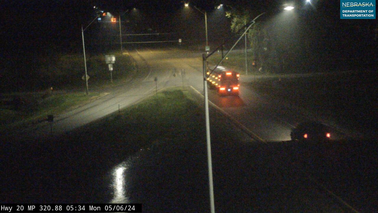
East of Inman at Stafford ( Jct 20 & 275) looking East
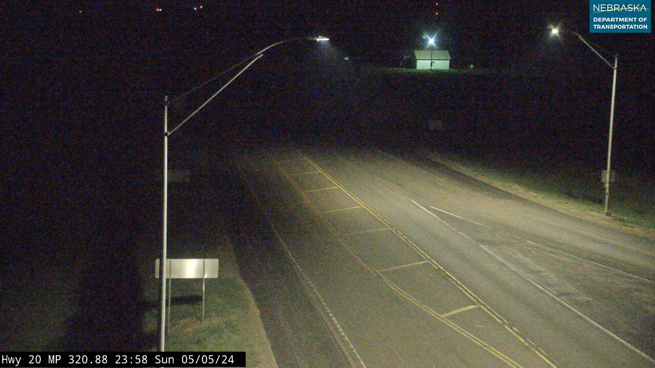
East of Inman at Stafford ( Jct 20 & 275) looking North West
East of Inman at Stafford ( Jct 20 & 275) looking South East
Just west of Long Pine, Highway 183 parts from Highway 20 and turns due north toward Keya Paha County. Long Pine itself is one of northern Nebraska's hidden gems: a spring-fed canyon carved into the Sandhills, where a clear creek flows through ponderosa pines and offers swimming, fishing, and hiking that feels completely unexpected in the rolling grasslands above. The Cowboy Trail rail-to-trail route passes through Long Pine on its 321-mile course.
Ainsworth, the county seat, sits east of the corridor and anchors Brown County's services and commerce. This is ranching country in its purest form — cattle, hay, and the steady work of feeding the national beef supply from Sandhills grass above the water table. As Highway 183 crosses into Keya Paha County, the landscape grows more austere: northern Sandhills approaching their edge, the Missouri River drainage drawing near.
Keya Paha County
County Page:
Keya Paha County
Towns:
Springview · Burton
Keya Paha County
County Page: Keya Paha County Towns: Springview · BurtonAntelope County
County Page:
Antelope County Cameras
Towns:
Brunswick ·
Clearwater ·
Elgin ·
Emmet ·
Neligh ·
Oakdale ·
Orchard ·
Royal ·
Tilden
Have photos, memories, or updates for Antelope County?
Visit our Contribute page and use code UPD-ANTELOPE.
East of Royal on Highway 20 looking North
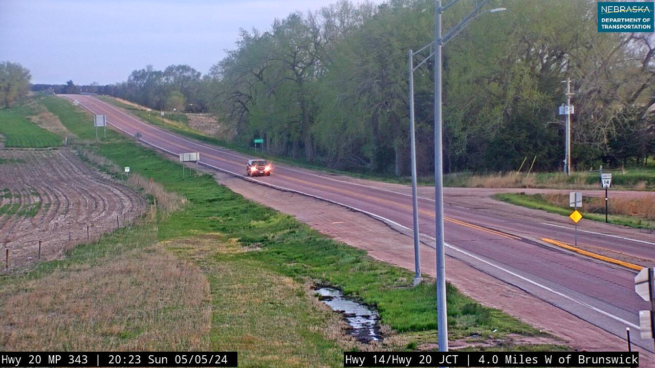
East of Royal on Highway 20 looking South
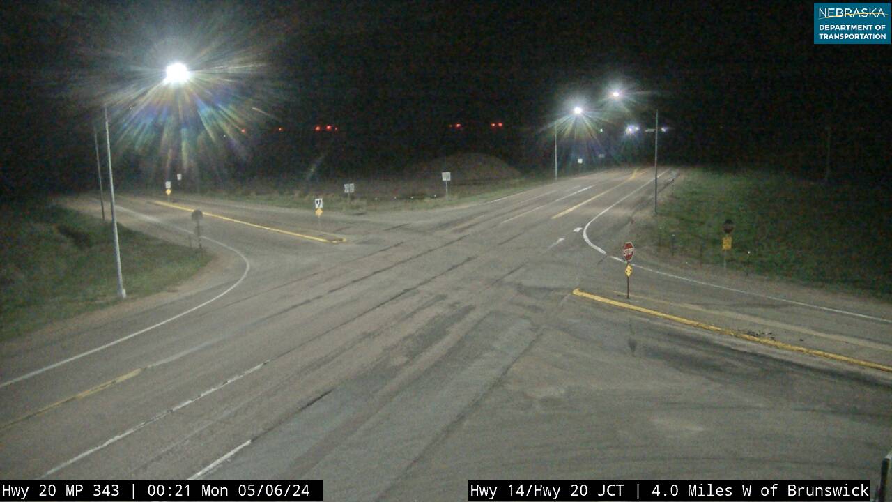
Intersection North of Brunswick and East of Royal on Highway 20
East of Royal on Highway 20 looking East
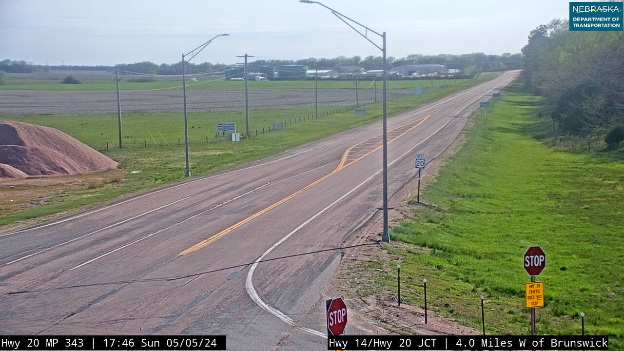
East of Royal on Highway 20 looking West
Springview, the county seat of Keya Paha County, marks Highway 183's final Nebraska community before the South Dakota border. Keya Paha takes its name from the Lakota for "turtle hill" — a name that reflects this meeting point of northern Sandhills and the Missouri River drainage country linking Nebraska to the Dakotas. Burton is the county's other incorporated community, small and quiet at the edge of the range.
From the Republican River at Alma to the South Dakota line above Springview, Highway 183 has crossed 260 miles of Nebraska's quiet center — reservoir plains, Platte River bottomlands, the deepest Sandhills, and the northern border country. No single highway traverses more of Nebraska's interior character. Use the Explore Nebraska directory to find places to eat, stay, and explore along the way.
Recent Comments