Cowboy Trail — Nebraska
The Cowboy Trail is Nebraska's premier long-distance trail, stretching 317 miles from Norfolk in Madison County to Chadron in Dawes County. Built on the former right-of-way of the Chicago and North Western Railway's "Cowboy Line" — constructed in the 1880s — the trail connects dozens of northern Nebraska towns that were once railroad stops, following the same corridor that linked this region to the national rail network for a century.
The Cowboy Trail serves as Nebraska's anchor segment of the Great American Rail-Trail — an ambitious Rails-to-Trails Conservancy project to connect Washington, D.C. to Seattle, Washington with 3,700+ miles of continuous trail across 12 states. When remaining gaps in Nebraska are closed, the Cowboy Trail is projected to become the world's longest continuous rail-trail. The Nebraska segment is currently more than 55% complete with over 2,000 miles of connected trail existing nationwide.
The trail's geographic center is Stafford in Holt County, where the trail meets the junction of US Highway 20 and Nebraska Highway 275. From Stafford, the trail follows the NE-275 corridor southeast to Norfolk, and the US-20 corridor west through the Sandhills to Valentine and Chadron. Every town along both corridors was once a stop on the C&NW Cowboy Line.
Eastern Leg — Norfolk to Stafford (NE-275 Corridor, ~140 miles)
The eastern segment follows the NE-275 corridor from Norfolk through Neligh to Stafford. Fully surfaced crushed limestone — open to hikers and cyclists. Every town along this leg was a stop on the C&NW Cowboy Line.
Madison County — Norfolk (Eastern Terminus)
Norfolk is the eastern terminus of the Cowboy Trail. The surfaced crushed-limestone trail begins here, running 187 miles west to Valentine. Norfolk was a major stop on the Chicago & North Western Cowboy Line and remains a hub for trail access, services, and parking. View Madison County cameras
Trail access: Norfolk Trailhead — Railside parking off Omaha Avenue. Full services available in Norfolk.
Find services: Lodging, dining & services near Norfolk
Leaving Madison County — entering Antelope County
Antelope County — Neligh & the Elkhorn River Valley
Neligh is the Antelope County seat and a key Cowboy Trail waypoint. The trail follows the NE-275 corridor through Antelope County, passing through Clearwater and Neligh — both former C&NW Cowboy Line stops. The Elkhorn River valley provides scenic riding through this county.
Find services: Services near Neligh

NE-275 near Neligh — looking east
NE-275 near Neligh — looking south

NE-275 near Neligh — looking west
Leaving Antelope County — entering Holt County, approaching Stafford
Holt County — Stafford Junction (Trail Hub & Midpoint)
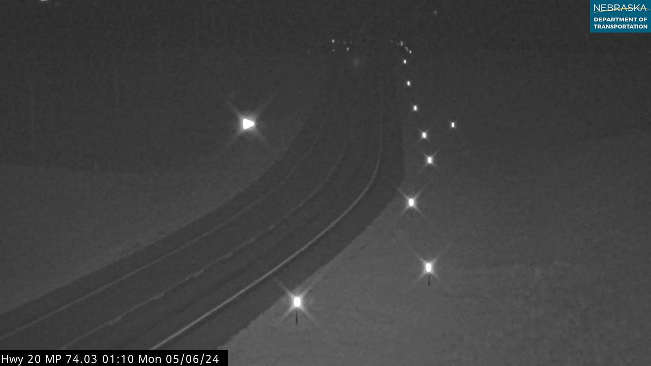
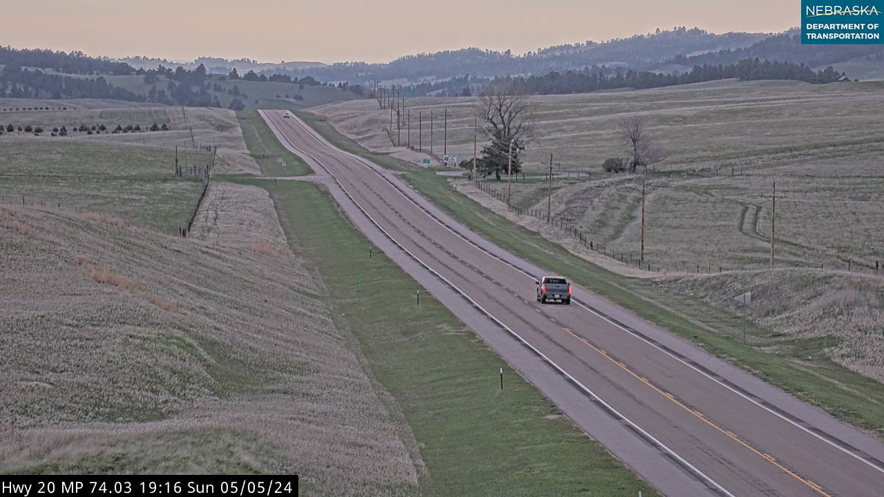
Holt County contains the geographic center of the Cowboy Trail — Stafford, where the trail meets the junction of US-20 and NE-275. From Stafford, the trail follows NE-275 southeast to Norfolk and US-20 west toward Chadron.
O'Neill (county seat, 14 miles northwest of Stafford) was a major railroad junction — served by two Chicago & North Western lines: one from Sioux City to the northeast, and the Cowboy Line from Norfolk to the southeast. This dual rail access made O'Neill the commercial and shipping hub of the region. Full services available for trail users. The C&NW line from Sioux City traced the Missouri River valley northward before turning west to reach O’Neill.
Other C&NW Cowboy Line stops in Holt County: Atkinson, Stuart, and Stafford itself.
Find services: Lodging, dining & services near Stafford/O'Neill

O'Neill Skycam — live view looking northwest
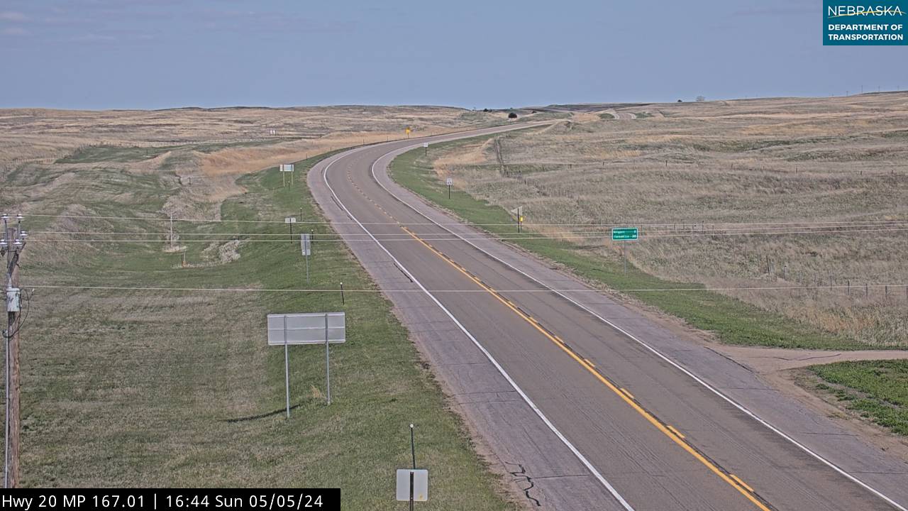
Stafford junction (US-20/NE-275) — looking east toward Neligh & Norfolk
Stafford junction (US-20/NE-275) — intersection
Stafford junction (US-20/NE-275) — looking west toward Valentine & Chadron
Western Leg — Stafford to Chadron (US-20 Corridor, ~177 miles)
The western segment follows the US-20 corridor through the Nebraska Sandhills from Stafford to Chadron. Trail transitions from crushed limestone to native surface at Valentine. The most remote and scenic segment of the Great American Rail-Trail in Nebraska.
Leaving Holt County westbound — entering Brown County
Brown County — Ainsworth & the Northern Sandhills
Ainsworth is the Brown County seat and a key stop on the western Cowboy Trail. The trail follows the US-20 corridor through Brown County. Ainsworth was a C&NW Cowboy Line stop and today offers services for trail users heading between Valentine and O'Neill.
Find services: Services near Ainsworth
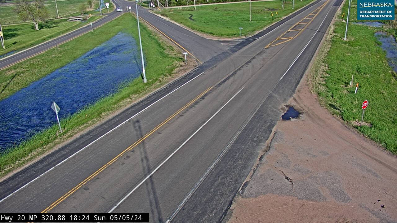
US-20 in Brown County — looking east
US-20 in Brown County — intersection
US-20 in Brown County — looking west
Leaving Brown County — entering Rock County
Rock County — Bassett
Bassett is the Rock County seat, a C&NW Cowboy Line stop on the western trail segment between Ainsworth and Valentine. The trail follows the US-20 corridor through this section of the Nebraska Sandhills.
Find services: Services near Bassett

US-20 near Bassett — looking east

US-20 near Bassett — looking west
Leaving Rock County — entering Cherry County
Cherry County — Valentine (Surfacing Transition)
Valentine marks the transition point on the Cowboy Trail — the 187-mile surfaced eastern segment ends here, and the native-surface western segment begins. Valentine was a major C&NW Cowboy Line stop and remains a hub for Sandhills recreation. Smith Falls State Park and the Niobrara River are nearby.
Find services: Services near Valentine

US-20 near Valentine — panoramic

US-20 near Valentine — looking east
US-20 near Valentine — looking west
Leaving Cherry County — entering Sheridan County (native surface trail)
Sheridan County — Gordon, Rushville & Hay Springs
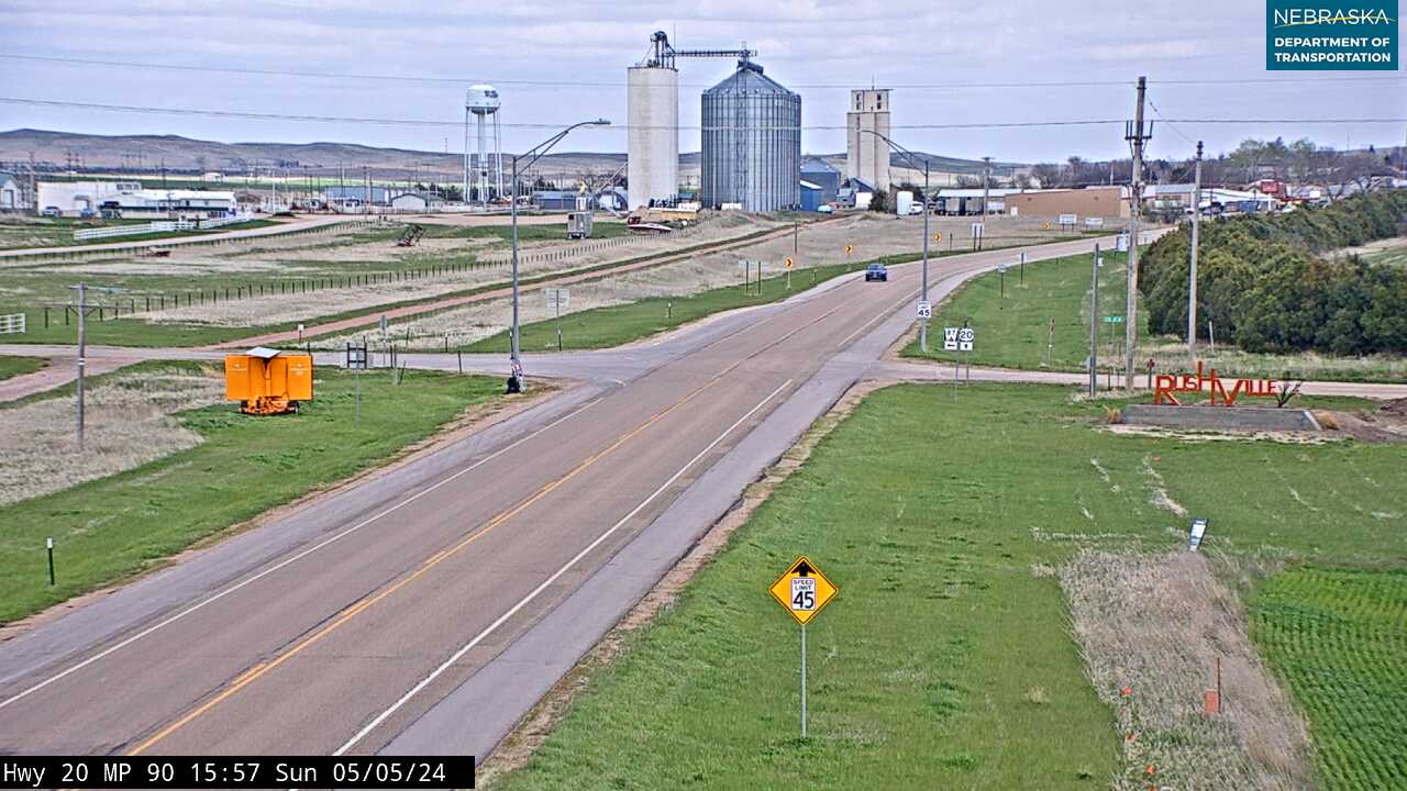
Sheridan County contains three C&NW Cowboy Line towns on the western trail: Gordon, Rushville, and Hay Springs. The trail follows the US-20 corridor through this section. A 15-mile segment between Gordon and Rushville is surfaced. Gordon offers services and trail access.
Find services: Services near Gordon/Rushville
US-20 near Gordon/Rushville — looking east
US-20 near Gordon/Rushville — looking west
US-20 near Hay Springs — looking east

US-20 near Hay Springs — looking west
Leaving Sheridan County — entering Dawes County
Dawes County — Chadron (Western Terminus)
Chadron is the western terminus of the Cowboy Trail. Trail advocates recently added connecting mileage in northwest Nebraska to link the trail directly into downtown Chadron. Crawford Hill — a 1.55% grade over 13 miles between Crawford and the summit — is a dramatic landmark of the old railroad grade, now experienced on foot or by bike. The Nebraska Northwestern Railroad still operates as an active line in the Chadron area.
Find services: Services near Chadron
Trail Conditions & Road Access
- Nebraska Game & Parks — Cowboy Trail conditions & info
- Nebraska 511 — US-20 (western leg road conditions)
- Nebraska 511 — NE-275 (eastern leg road conditions)
- Nebraska Cameras — live cameras along the trail corridor
- BikeCowboyTrail.com — trail maps, gap closures & updates
Trail Surface by Segment
- Norfolk → Valentine (187 miles): Crushed limestone — hikers and cyclists
- Gordon → Rushville (15 miles): Surfaced — hikers and cyclists
- Valentine → Chadron (remaining): Native surface — equestrian, hiking
Planning Your Cowboy Trail Trip
The Nebraska Directory is your town-by-town resource for the entire Cowboy Trail corridor. Find lodging, dining, bike repair, camping, and services along both the eastern (NE-275) and western (US-20) legs.
- Lodging along the trail
- Dining along the trail
- Outdoor recreation & outfitters
- Smith Falls State Park — tallest waterfall in Nebraska, Cherry County
- Great American Rail-Trail — Rails-to-Trails Conservancy (DC to Seattle)
Stafford, Nebraska — the trail hub at US-20 / NE-275 — is the ideal base for exploring both legs. O'Neill (14 miles northwest) offers full services including lodging, dining, and fuel.
Related Corridors
- Nebraska Highway 275 — Eastern leg corridor, Norfolk to Stafford
- US Highway 20 — Western leg corridor, Stafford to Chadron (America's longest highway)
- Nebraska Highway 12 — Parallels NE-12 through the Niobrara River valley north of the trail
- US Highway 281 — North-south connector through O'Neill