
Mailing ZIP code: 68742
Former railroad town · Holt County · founded about 1882
About Stafford
Stafford was a railroad town in eastern Holt County, at today's junction of US 20 and US 275, 13 miles southeast of O'Neill and about 8 miles northwest of Ewing. The town grew around the depot, about a mile southeast of the junction on the southwest side of US 275, where a farmstead stands today. The post office later stood on the northwest corner of the junction, where Nielsen Hosting is now, at 50196 US Highway 20; the US 20/275 weigh station is also at the junction.
History
Stafford was founded around 1881–82 as a depot on the Fremont, Elkhorn & Missouri Valley Railroad and named for Mike Stafford, the line's first roadmaster out of Norfolk. Dan O'Donnell, who built the first store, is believed to have platted it. The post office opened in 1888, and in 1900 Edwin Crandall moved it a mile northwest.
Six passenger trains and six freight trains of 25 to 35 cars each passed every day, with extra freights in hay season, and three hay barns stood in town. Mass was said in Peter Ryan's house until a Catholic church was built in 1894, and the school served 35 or more pupils. In the summer of 1920 Stafford still had two stores, the post office, the church, the school, a hay office, two hay barns, the depot, stockyards, a section house and a blacksmith shop. The town faded once trucks replaced rail shipping.
Read the full History of Stafford →
Highways and trails through Stafford
| Route | One way | Other way |
|---|---|---|
| US 20 and US 275Split at the Stafford junction | Northwest together to Inman (about 5 mi) and O'Neill (13 mi) | US 275 southeast to Ewing (8.4 mi); US 20 east into Antelope County |
| Spur 45AState spur road | Leaves US 20 about 2 mi east of the junction | North to Page (about 5 mi) |
Nearby towns
| Inman | about 5 mi northwest | US 20/US 275 |
| Page | about 7 mi north | US 20 east 2 mi, then Spur 45A north |
| Ewing | 8.4 mi southeast | US 275 |
| O'Neill | 13 mi northwest | US 20/US 275 |
Health care
Avera St. Anthony's Hospital, O'Neill (13 mi)
Sources: Yost, Before Today: A History of Holt County (1976); U.S. Census; Wikipedia; History Nebraska; Nebraska Department of Transportation route mileposts; Cowboy Trail mileage chart. Site details from Norman Nielsen, who lives at the junction.
Nebraska Cameras — Stafford Junction
Live camera images at the US-20 / US 275 junction at Stafford. View all Nebraska cameras
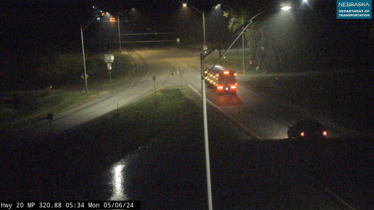
US-20 / US 275 junction — looking east — US-20 continues to Ewing / US 275 begins southeast toward Neligh, Norfolk & Omaha
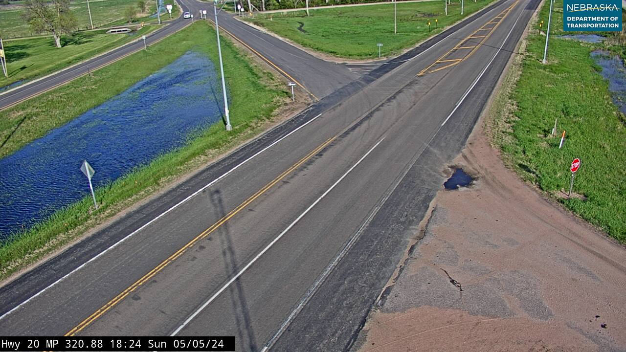
US-20 / US 275 junction — intersection
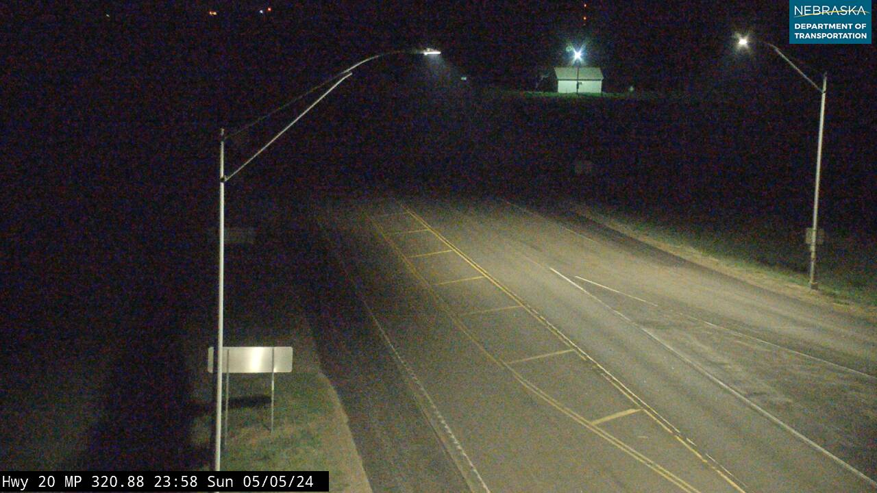
US-20 / US 275 junction — looking northwest
US-20 / US 275 junction — looking southeast toward US 275
Navigate to Stafford
Get directions: Waze | Google Maps | Apple Maps
Road conditions: 511 — US-20 | 511 — US 275
Continue your journey: US-20 — east & west | US 275 — southeast to Omaha | US-281 via O'Neill | Cowboy Trail
Nearby services: Find businesses within 20 miles of Stafford | O'Neill — full services (13 mi NW)
Emergency: Holt County Sheriff — (402) 336-1827 | 911
See something missing or out of date on this page? Help us keep Stafford accurate — submit a correction or suggest a listing.
Stafford Businesses & Places
1 listings in Stafford.
Click a category to see the businesses.
Professional Services (1)
- Nielsen Website Hosting — Website Hosting