
US Highway 34: Colorado to the Missouri River
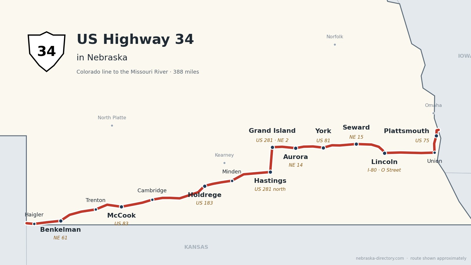
US Highway 34 crosses Nebraska for about 388 miles, from the Colorado line west of Haigler to the Missouri River bridge near La Platte, south of Bellevue. It follows the Republican River valley east through Benkelman, Trenton and McCook, runs together with US 6 for about 140 miles past Holdrege and Minden to Hastings, turns north with US 281 to Grand Island, and then runs east as its own two-lane road through Aurora, York and Seward to Lincoln. From Lincoln it follows O Street east to Union, joins US 75 past Plattsmouth, and crosses into Iowa. It passes through 16 counties; three of them, Harlan, Merrick and Sarpy, it only clips.
Before it was 34.
US 34 is a newcomer to Nebraska. When the U.S. highways were numbered in 1926 it ended at Council Bluffs, Iowa. In the mid-1930s, at the request of a Nebraska auto club, it was rerouted across the Missouri at Plattsmouth and on to Grand Island, and by 1939 it had been extended west to Colorado. Sources give 1934 or 1935 for its arrival in Nebraska.
Much of the road is older than its number. Between McCook and Hastings it shares the route of the Detroit–Lincoln–Denver Highway, laid out in 1911 as the Omaha–Lincoln–Denver and renamed in 1920; that stretch was US 38 before it became US 6. On Nebraska's 1924 list of named highways, the Seward–York–Aurora road is today's US 34 between those towns, and the Red Star Highway crossed it at Arapahoe.
The Burlington built most of the towns. McCook was platted in 1882 and Holdrege in 1883 on its line up the Republican valley, Hastings grew from 1872 at the junction of the Burlington & Missouri River and the St. Joseph & Denver City, and Plattsmouth was the Burlington's Nebraska hub from 1869. Grand Island came with the Union Pacific in 1868.
Begin your journey at the Colorado line and head east: down the Republican valley to McCook, with US 6 past Holdrege and Minden to Hastings, north to Grand Island, across the farm country of Aurora, York and Seward to Lincoln, and on to Plattsmouth and the Missouri River.
Counties along US 34, west to east: Dundy · Hitchcock · Red Willow · Furnas · Phelps · Kearney · Adams · Hall · Hamilton · York · Seward · Lancaster · Cass
Dundy County on US Highway 34
Haigler and Benkelman.
On the road: Haigler · Parks · Benkelman (NE 61) · Max · Old Jail Museum (Haigler) · Rock Creek Lake State Recreation Area · Dundy County page
US 34 enters from Colorado on the Arikaree River west of Haigler, where it runs down Nebraska Avenue, and follows the Republican River valley east through Parks to Benkelman, the county seat, where it shares about three miles with Nebraska 61. Rock Creek Lake State Recreation Area is north of Parks.
History along the road. Benkelman began about 1880 as Collinsville and was renamed in 1882 by the railroad for stock raiser J. G. Benkelman. In fall 2026 NDOT is repaving and repairing bridges between Max and Stratton.
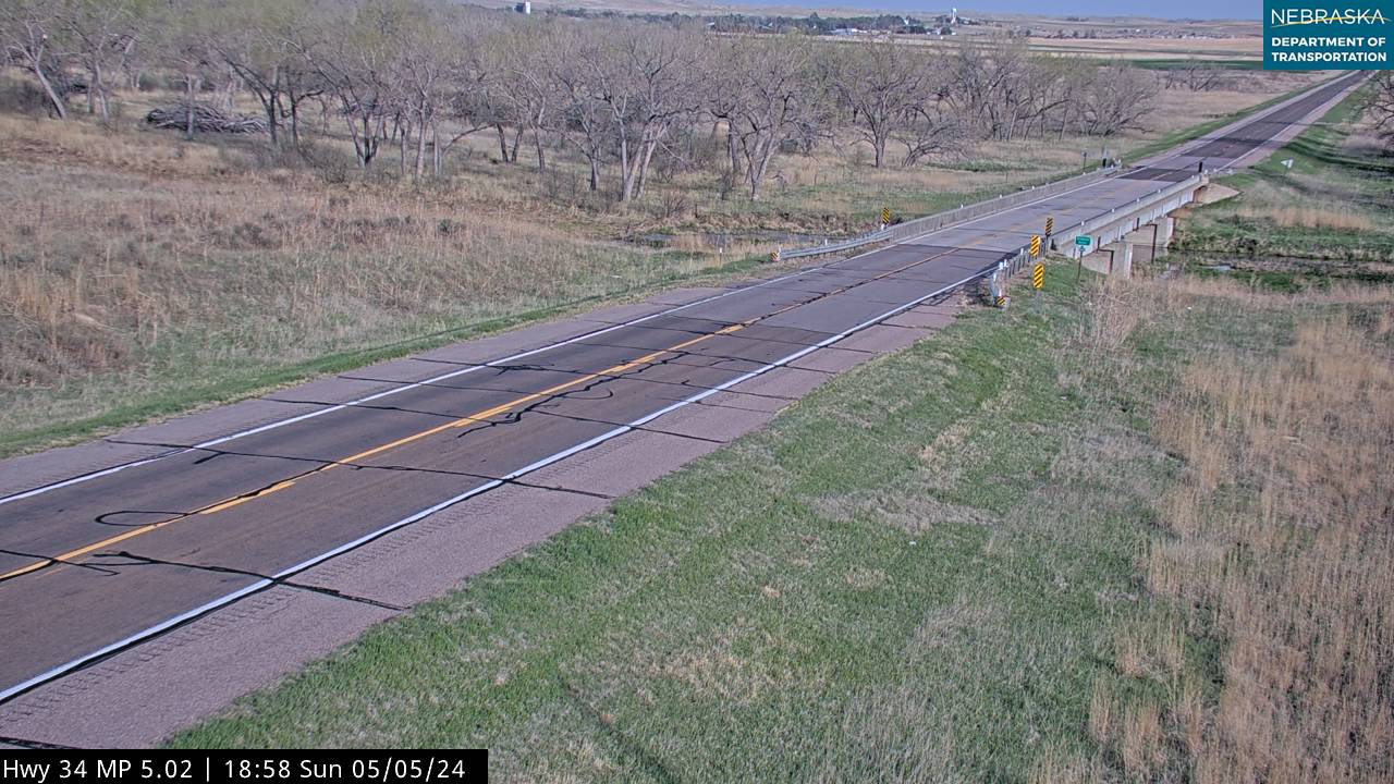
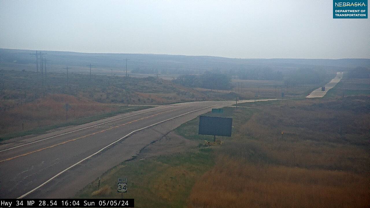
Live cameras. Images from Nebraska 511; click one to open it full size.
Hitchcock County on US Highway 34
Stratton, Trenton and Culbertson.
On the road: Stratton · Trenton (NE 25) · Culbertson (NE 17) · Swanson Reservoir State Recreation Area · Massacre Canyon · Hitchcock County page
The road continues down the valley through Stratton and Trenton, the county seat. Swanson Reservoir State Recreation Area is about three miles southwest of Trenton, and the Massacre Canyon Monument and visitor center is three miles east of town on US 34. West of Culbertson, US 6 comes in from Imperial and joins US 34; the two run together all the way to Hastings.
History along the road. The Massacre Canyon Monument marks the last great battle between the Sioux and the Pawnee, fought nearby in August 1873. Culbertson was the first county seat; Trenton took the title because of its central spot on the Burlington.
Live cameras. Images from Nebraska 511; click one to open it full size.
Red Willow County on US Highway 34
McCook.
On the road: McCook (US 83, US 6) · Indianola · Bartley · Senator George Norris State Historic Site · Museum of the High Plains · Red Willow Reservoir State Recreation Area · Red Willow County page
US 6 and US 34 run through McCook, the county seat, sharing about a mile and a half with US 83, then continue east through Indianola and Bartley. Red Willow Reservoir State Recreation Area, at Hugh Butler Lake, is about ten miles northwest of McCook.
History along the road. McCook was platted in 1882 and named for Gen. Alexander McD. McCook. The Senator George Norris State Historic Site, at 706 Norris Avenue, is a National Historic Landmark; the Museum of the High Plains keeps artwork cut from the barracks of the Indianola prisoner-of-war camp; and the 1907–08 Harvey P. Sutton House is the only Frank Lloyd Wright house known to have been built in Nebraska.
Furnas County on US Highway 34
Cambridge and Arapahoe.
On the road: Cambridge · Holbrook · Arapahoe (US 283) · Edison (US 136) · Cambridge Museum · Medicine Creek State Recreation Area · Furnas County page
The road runs through Cambridge, Holbrook and Arapahoe, where it crosses US 283. Medicine Creek State Recreation Area, at Harry Strunk Lake, is about ten miles north of Cambridge. East of Arapahoe, US 136, the Heritage Highway scenic byway, begins at US 6 and US 34 north of Edison, and the road then clips a corner of Harlan County, where Nebraska 4 begins southwest of Atlanta.
History along the road. Cambridge was founded on the Burlington in 1880. Arapahoe, once the Furnas County seat, is where the Red Star Highway, a 1924 named auto trail from Kansas to Lexington, crossed this road.
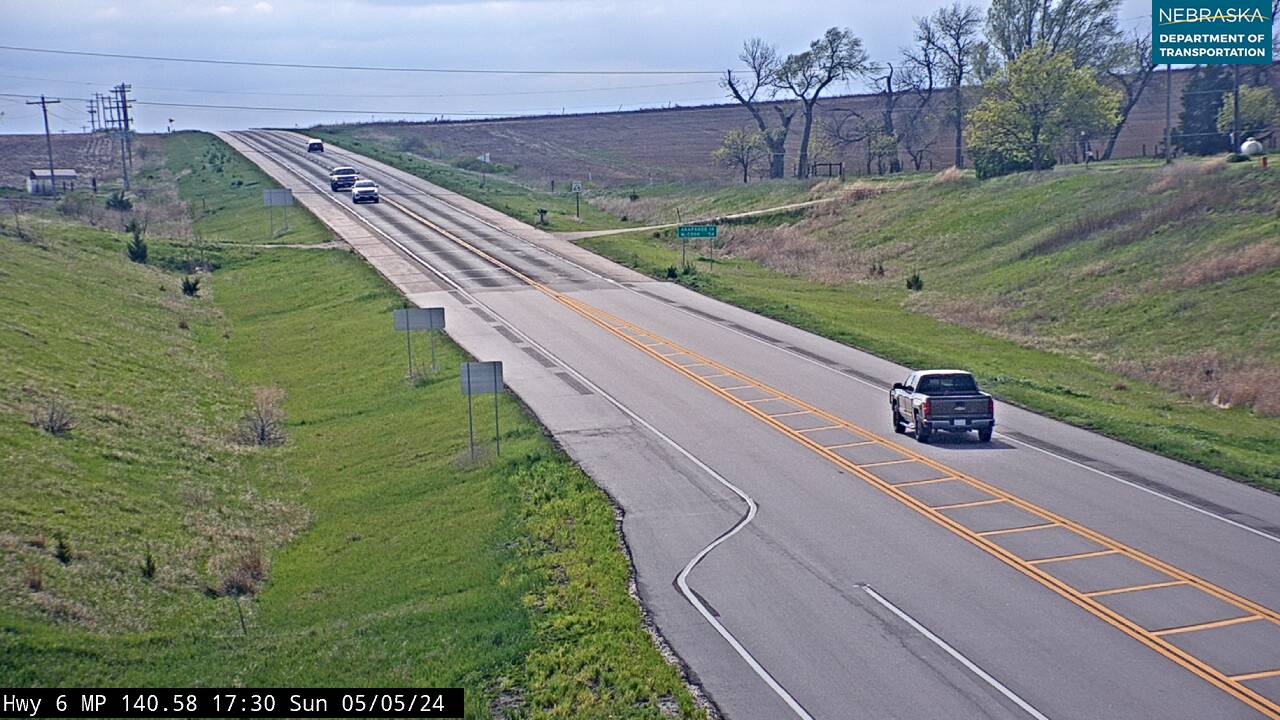
Live cameras. Images from Nebraska 511; click one to open it full size.
Phelps County on US Highway 34
Atlanta and Holdrege.
On the road: Atlanta · Holdrege (US 183) · Funk · Nebraska Prairie Museum · Phelps County page
US 6 and US 34 pass Atlanta, run through Holdrege, the county seat, where they cross US 183, and continue east past Funk. The Nebraska Prairie Museum is on US 183 in Holdrege.
History along the road. Holdrege was founded in 1883 and named for Burlington official George W. Holdrege; most of its first settlers were Swedish. During World War II, Camp Atlanta held German prisoners of war near Atlanta, and the Nebraska Prairie Museum has a replica of the camp.
Kearney County on US Highway 34
Axtell and Minden.
On the road: Axtell (NE 44) · Minden (NE 10) · Heartwell · Harold Warp Pioneer Village · Kearney County page
The road shares about four miles with Nebraska 44 at Axtell, crosses Nebraska 10 at Minden, the county seat, and passes Heartwell on the way to Hastings. Harold Warp Pioneer Village is on US 6 and US 34 in Minden.
History along the road. Minden calls itself Nebraska's Christmas City. Harold Warp Pioneer Village opened in 1953 and fills 28 buildings with more than 50,000 items.
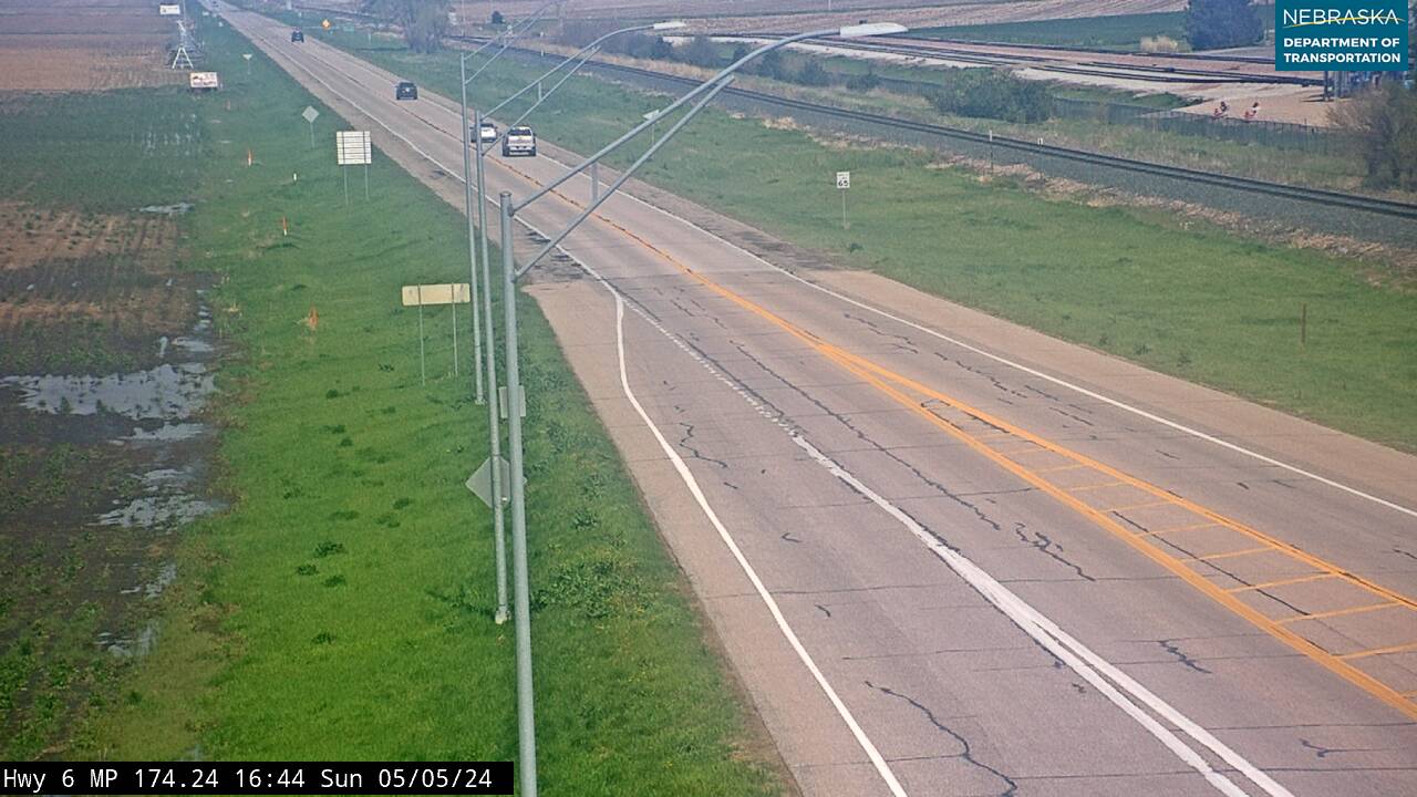
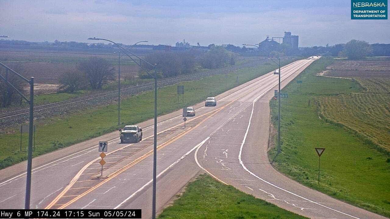
Live cameras. Images from Nebraska 511; click one to open it full size.
Adams County on US Highway 34
Hastings.
On the road: Kenesaw (north) · Juniata (north) · Hastings (US 281) · Hastings Museum · Kool-Aid Days · Adams County page
Short spurs lead north to Kenesaw and Juniata, the first county seat. At Hastings, the county seat, US 34 turns north onto US 281 and US 6 continues east on its own.
History along the road. Hastings grew from 1872 at a railroad junction. Kool-Aid was invented here in 1927, and the Hastings Museum reopened its Kool-Aid exhibit in March 2026. The city had the country's largest naval ammunition depot during World War II, and in 2023 the National Park Service named it an American World War II Heritage City.
Hall County on US Highway 34
Up the expressway to Grand Island.
On the road: Doniphan · Grand Island (NE 2) · Stuhr Museum · Mormon Island State Recreation Area · Hall County page
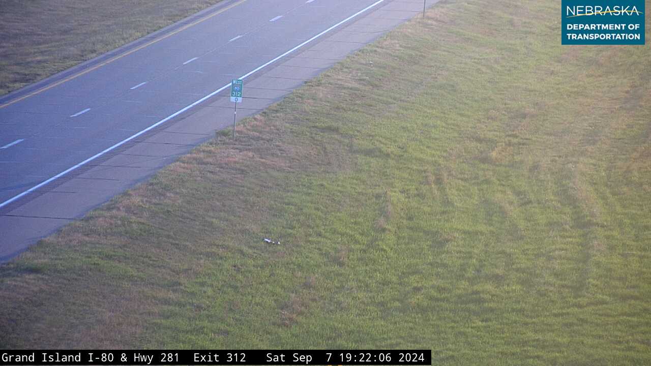
US 34 and US 281 run north as a divided expressway, the Tom Osborne Expressway, past Doniphan, cross I-80 at exit 312, where Mormon Island State Recreation Area sits beside the interchange, and reach the south side of Grand Island. There US 34 turns east with Nebraska 2, passes the Stuhr Museum and crosses the Platte River through a corner of Merrick County.
History along the road. Grand Island was founded in 1857 by 35 German settlers from Davenport, Iowa, and the Union Pacific arrived in 1868. The Stuhr Museum, at 3133 West US 34, has an 1890s railroad town and the house where actor Henry Fonda was born; the stretch of US 34 from the Platte River bridge to US 281 is named the Henry Fonda Memorial Highway. NDOT plans repaving and bridge work between Doniphan and I-80, with bids due in November 2026.
Live cameras. Images from Nebraska 511; click one to open it full size.
Hamilton County on US Highway 34
Aurora.
On the road: Phillips (north) · Giltner (south) · Aurora (NE 14) · Hampton · Plainsman Museum · Edgerton Explorit Center · Hamilton County page
East of the Platte, Nebraska 2 turns off and US 34 runs east as a two-lane road north of I-80, past the spurs to Phillips and Giltner, through Aurora, the county seat, where it crosses Nebraska 14, and past Hampton.
History along the road. Aurora was laid out in 1871 and named for Aurora, Illinois. It was the hometown of Harold Edgerton, the MIT engineer who perfected the strobe light; the Edgerton Explorit Center is named for him, and the Plainsman Museum next door was dedicated on July 4, 1976.
York County on US Highway 34
York.
On the road: Bradshaw · Henderson (south) · York (US 81) · Waco · York County Historical Association · York County page
US 34 runs through Bradshaw and into York, the county seat, where it shares about a mile and a half with US 81, then continues east past Waco. Henderson is to the south, near I-80.
History along the road. York was platted in 1869. York College, founded in 1890, became York University in 2022. A tornado struck Bradshaw in 1890 and killed 12 people.
Seward County on US Highway 34
Utica and Seward.
On the road: Utica · Tamora · Seward (NE 15) · Garland (north) · Utica City Park · Seward County page
The road runs through Utica, where NDOT's 2025 Seward West project added a center turn lane, passes Tamora and reaches Seward, the county seat, where it crosses Nebraska 15. Garland is a short spur north.
History along the road. Seward was named America's Official Fourth of July City — Small Town USA by a congressional resolution in 1979, and it is home to Concordia University.
Lancaster County on US Highway 34
Into Lincoln.
On the road: Malcolm (north) · Lincoln (I-80) · Nebraska State Capitol · Historic Haymarket · Sheldon Museum of Art · Morrill Hall · Lancaster County page
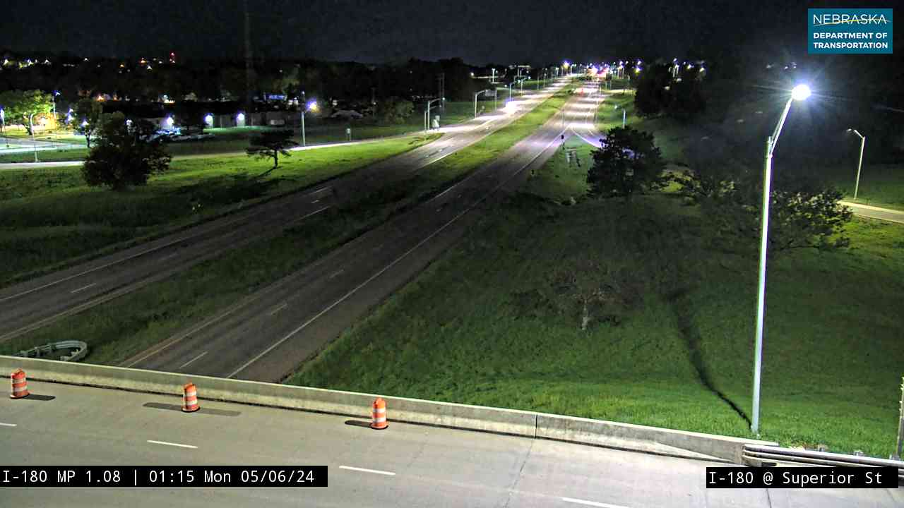
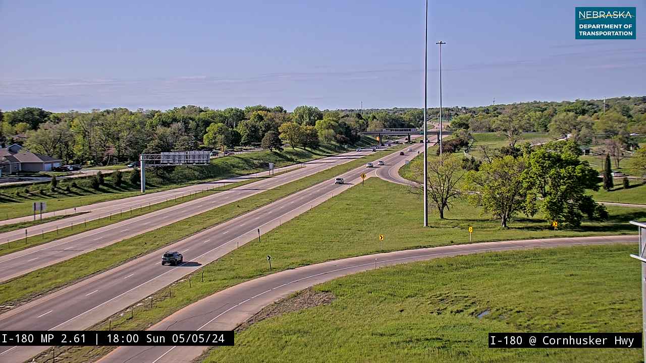
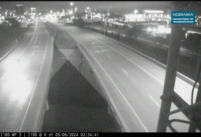
Past the Malcolm spur, US 34 becomes a four-lane divided road at Nebraska 79, meets I-80 at exit 401, and runs into downtown Lincoln on I-180. It follows the North 9th and 10th Street one-way pair past the Historic Haymarket and turns east on O Street. The Nebraska State Capitol is about half a mile south of O Street, and the Sheldon Museum of Art and Morrill Hall are on the University of Nebraska campus just north of downtown.
History along the road. The four-lane stretch from Nebraska 79 to I-80 was built in 1963, when the old road gave way to the expansion of Lincoln Air Force Base, and in 1997 it was named the Purple Heart Highway. Lincoln has been the state capital since 1869; its Capitol, designed by Bertram Goodhue and finished in 1932, is the second-tallest in the country. In 2026–27 the city is rebuilding the O Street streetscape downtown, from 9th Street to Centennial Mall.
Live cameras. Images from Nebraska 511; click one to open it full size.
Cass County on US Highway 34
Eagle, Union and Plattsmouth to the Missouri.
On the road: Eagle · Elmwood (north on NE 1) · Avoca (south) · Nehawka (north) · Union (US 75) · Murray · Plattsmouth · Bellevue (north) · Bess Streeter Aldrich House · Cass County Historical Society Museum · Schilling Wildlife Management Area · Sarpy County page · Cass County page
East of Lincoln the road runs through Eagle and crosses Nebraska 1, which leads north to Elmwood, and Nebraska 50, where NDOT plans a roundabout. At Union it turns north with US 75 past Murray and Plattsmouth. South of Bellevue, in a corner of Sarpy County, it leaves US 75 and crosses the Missouri River into Iowa on a four-lane bridge near La Platte.
History along the road. Elmwood was the home of author Bess Streeter Aldrich, and the US 34 stretch from the Lancaster County line to Elmwood is named for her. Plattsmouth began in 1854 as a trading post called the Barracks and became the Burlington's Nebraska hub, with shops that employed up to 800 people; the Cass County Historical Society Museum is at 646 Main Street. Lewis and Clark reached the mouth of the Platte, beside today's Schilling Wildlife Management Area, on July 21, 1804. Until 2014, US 34 crossed the Missouri on the 1929 Plattsmouth toll bridge; the new US 34 bridge was dedicated on October 22, 2014.
Live cameras. Images from Nebraska 511; click one to open it full size.

Nebraska Road Conditions & US-34 Travel Tips
US 34 is mostly two lanes, with four-lane stretches between Hastings and Grand Island, from Nebraska 79 into Lincoln, and from Plattsmouth to the Missouri River bridge. Between Grand Island and Lincoln it runs a few miles north of I-80, through the towns the interstate bypasses. Through fall 2026, expect pilot cars and narrow lanes on bridge and paving work around Max and Stratton. Check current conditions before you travel, especially in winter.
RV Travel & Camping Along US Highway 34
- Rock Creek Lake State Recreation Area — north of Parks
- Swanson Reservoir State Recreation Area — near Trenton
- Red Willow Reservoir State Recreation Area — northwest of McCook
- Karrer Park — McCook
- Medicine Creek State Recreation Area — north of Cambridge
- Holdrege City Campground — Holdrege
- Harold Warp Pioneer Village Campground — Minden
- Hastings Campground & RV Park — Hastings
- Mormon Island State Recreation Area — I-80 exit 312
- Grand Island KOA — Grand Island
- Streeter Park — Aurora
- York Kampground — York
- Utica City Park — Utica
Related Nebraska Travel Corridors
- US Highway 6 — shared from Culbertson to Hastings
- US Highway 83 — at McCook
- US Highway 136 — begins at US 34 near Edison
- US Highway 183 — at Holdrege
- US Highway 281 — Hastings to Grand Island
- Highway 2 — at Grand Island
- US Highway 81 — at York
- Interstate 80 — at Grand Island and Lincoln
- US Highway 75 — Union to Bellevue
- ← Explore All Nebraska Travel Corridors