
The Lincoln Highway in Nebraska: Main Street Across the State
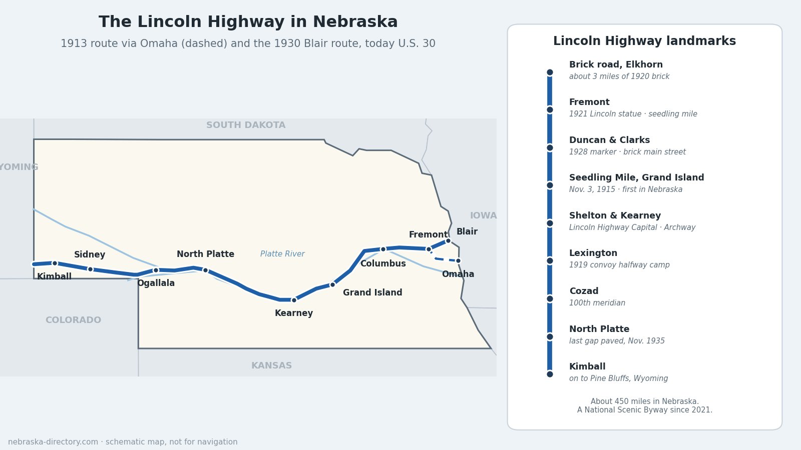
In 1913 a group of automobile and tire makers set out to build a paved road from New York to San Francisco and named it for Abraham Lincoln. For about 450 miles of its route, the Lincoln Highway crossed Nebraska, up the same Platte River valley the wagon trails and the Union Pacific had followed. Nebraska towns raised money for the first concrete, the Army's 1919 truck convoy fought its way through the state's sand and mud, and in 1935 Nebraska paved the last gap in the whole highway. Today it is U.S. 30, a National Scenic Byway, and still the main street of dozens of towns.
Highway at a Glance
- Created: the Lincoln Highway Association was organized on July 1, 1913, led by Henry Joy of Packard and promoter Carl Fisher. The route was announced on September 14, 1913, and dedicated on October 31, 1913.
- Length: about 3,389 miles as first mapped, from Times Square in New York to Lincoln Park in San Francisco, later shortened by improvements. About 450 miles are in Nebraska.
- Route today: U.S. 30 (numbered in 1926) from the Missouri River to the Wyoming line west of Bushnell, with Interstate 80 running parallel through much of the state.
- Byway: named a National Scenic Byway on February 16, 2021, as the Nebraska Lincoln Highway Scenic and Historic Byway, covering about 450 miles of U.S. 30.
- Counties: Washington, Douglas, Dodge, Colfax, Platte, Merrick, Hall, Buffalo, Dawson, Lincoln, Keith, Deuel, Cheyenne and Kimball.
The Route, East to West
The 1913 highway crossed the Missouri on the Douglas Street bridge from Council Bluffs into Omaha, followed Dodge Street west to Elkhorn and Valley, and reached Fremont. In July 1930, after the Abraham Lincoln Memorial Bridge opened at Blair, crews moved the highway signs overnight to the Blair route, which U.S. 30 still follows. From Fremont the road ran through North Bend, Schuyler and Columbus, then Duncan, Clarks and Central City, the first town to ratify the Lincoln Highway proclamation in 1913, to Grand Island.
West of Grand Island the highway followed the Platte through Wood River, Shelton, Gibbon, Kearney, Elm Creek, Overton, Lexington, Cozad and Gothenburg to North Platte. It went on up the South Platte past Hershey, Sutherland, Ogallala, Brule and Big Springs, where an early loop branched off toward Denver, then up Lodgepole Creek through Chappell, Lodgepole, Sidney, Potter and Kimball to Pine Bluffs, Wyoming.
Building the Road
Seedling miles
Early on, the Lincoln Highway in Nebraska was mostly dirt, marked by red, white and blue bands painted on telephone poles. To show what concrete could do, the association encouraged "seedling miles." Grand Island's seedling mile, finished on November 3, 1915, was the first in Nebraska and the second in the nation, paid for with $1,170 raised locally. It is the only original seedling mile never widened or paved over. Kearney finished its own concrete stretch on West 24th Street that same month, and Fremont later built a longer one with a $5,000 gift from George Wolz.
The 1919 Army convoy
In the summer of 1919, the Army sent 81 vehicles from Washington to San Francisco to test whether trucks could cross the country. A young Lieutenant Colonel Dwight D. Eisenhower rode along. The convoy crossed the Douglas Street bridge into Omaha on July 29, to a city holiday, and reached Lexington on August 1, halfway across the continent. Then Nebraska's roads fought back: gumbo mud near Gothenburg put 25 trucks in the ditch, and quicksand near North Platte meant the big Militor tow truck had to pull every vehicle in the convoy at least once. Eisenhower later wrote that in Nebraska "the first real sand was encountered," costing two days. The experience stayed with him and helped shape the Interstate Highway System he signed into law as president.
Bricks, markers and the last mile
In 1920 about 3 miles of the highway west of Omaha were paved in brick; that stretch survives as the Lincoln Highway Brick Road in Elkhorn. On September 1, 1928, Boy Scouts set concrete markers with a bronze Lincoln medallion along the whole route, and a few still stand in Nebraska, including one at Duncan. In 1929 only about 60 of Nebraska's 450 miles were hard-surfaced. The last unpaved section of the entire Lincoln Highway was a stretch near North Platte; it was finished in November 1935, and more than 3,000 people watched a golden ribbon cut west of town, making U.S. 30 the first fully paved coast-to-coast highway.
Places to Visit
- Lincoln Highway Brick Road — Old Lincoln Highway between 174th and 192nd streets, Elkhorn. Closed in winter; 6-ton limit.
- Fremont — the 1921 bronze statue of Abraham Lincoln by Alfonso Pelzer in John C. Fremont Park, on North Broad Street, the old highway.
- Duncan and Clarks — an original 1928 marker at Duncan and a brick main street with painted poles at Clarks.
- Lincoln Highway Seedling Mile — Seedling Mile Rd., east Grand Island, with a historical marker.
- Shelton — calls itself the Lincoln Highway Capital of Nebraska, with original brick, painted poles and a yearly Lincoln Highway celebration.
- The Archway — Kearney (I-80 exit 275). Exhibits include the Lincoln Highway and a 1950s drive-in.
- Overton — an original concrete Lincoln Highway bridge just east of town, between U.S. 30 and the railroad.
- Dawson County Historical Society Museum — 805 Taft St., Lexington. Lincoln Highway exhibit with old cars; the 1919 convoy camped at the Lexington fairgrounds.
- 100th Meridian Museum — 206 E. 8th St., Cozad; 308-784-1100. Open Memorial Day to Labor Day. The 100th Meridian Marker stands on U.S. 30.
- Gothenburg Historical Museum and the Pony Express Station — Gothenburg, where a Lincoln Highway courtyard opened in 2016 at Lake Avenue and U.S. 30.
- Lincoln County Historical Museum — 2403 N. Buffalo Bill Ave., North Platte.
- Fort Sidney Museum — Sidney.
Driving It Today
Follow U.S. 30 for the Lincoln Highway's towns, grain elevators and old motor courts; I-80 is faster but bypasses all of them. For the original Omaha route, take Dodge Street west to Elkhorn and the brick road, then Highway 64 and U.S. 275 to Fremont. Look for the byway's Lincoln Highway signs and reproduction markers in towns from Blair to Kimball. Between Gothenburg and North Platte, a signed section of the early "stair-step" route follows section lines away from U.S. 30.
Highway Cameras
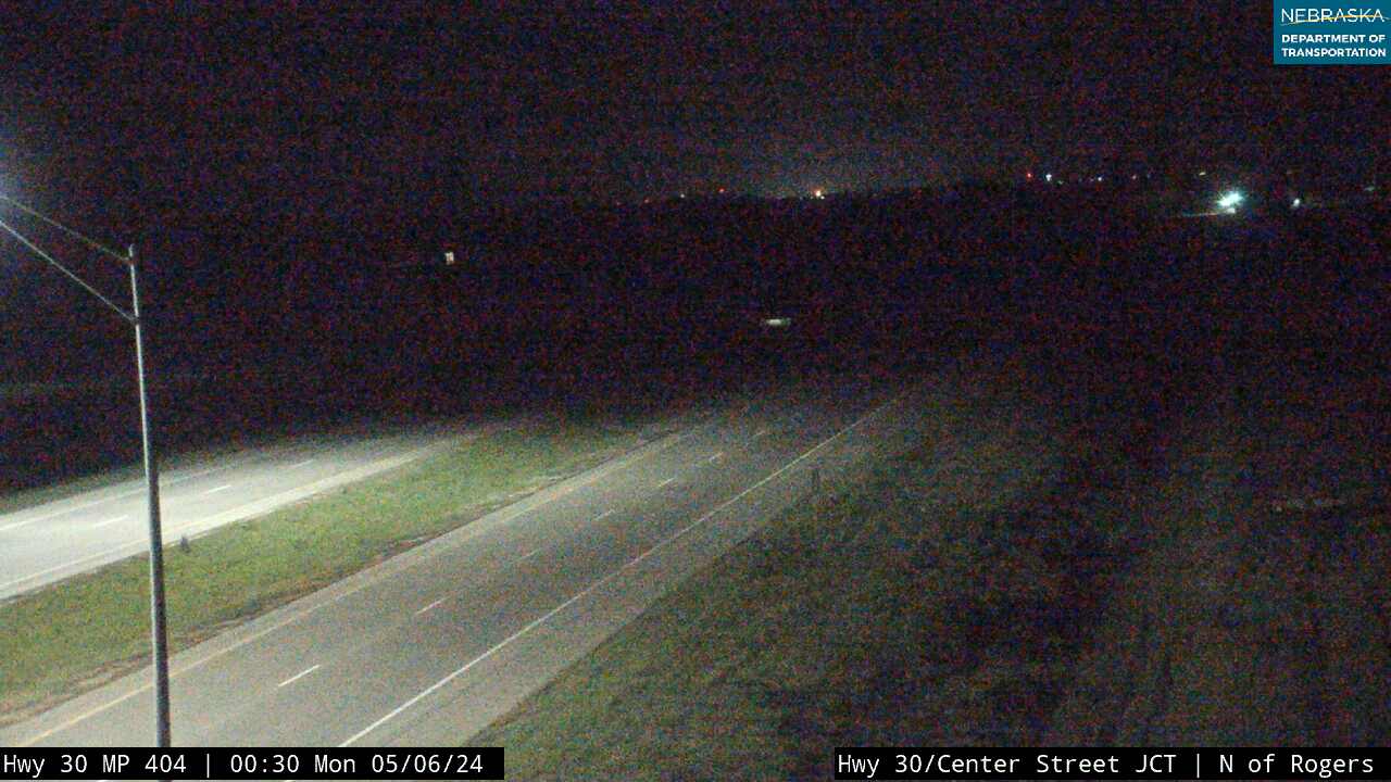
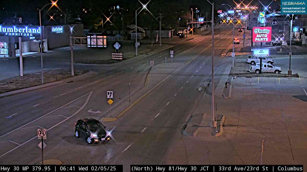
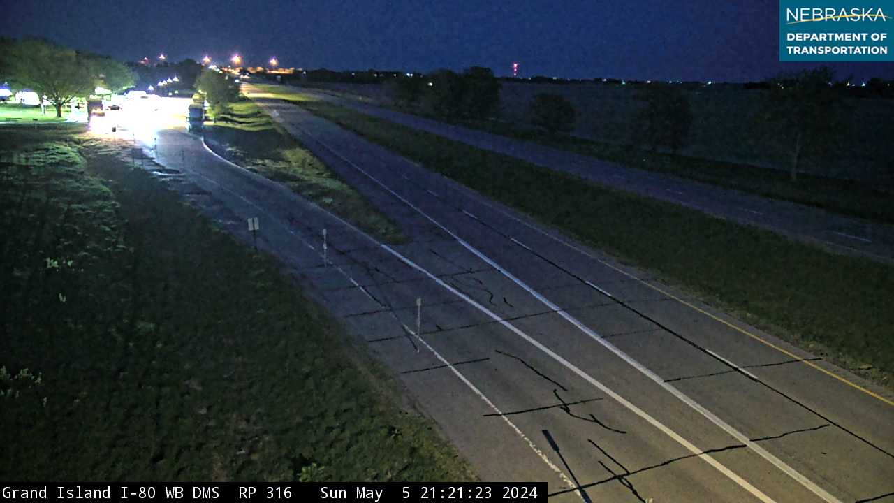
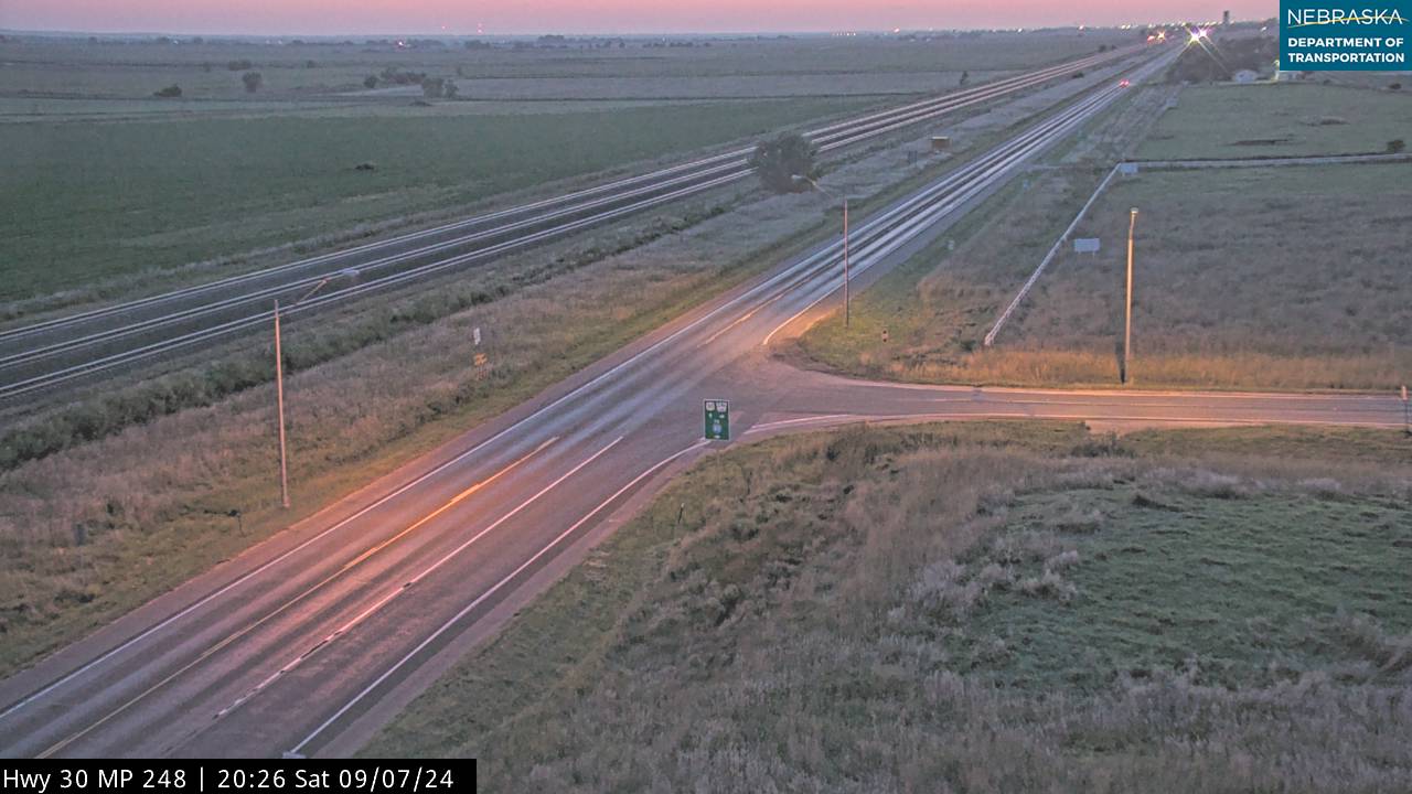
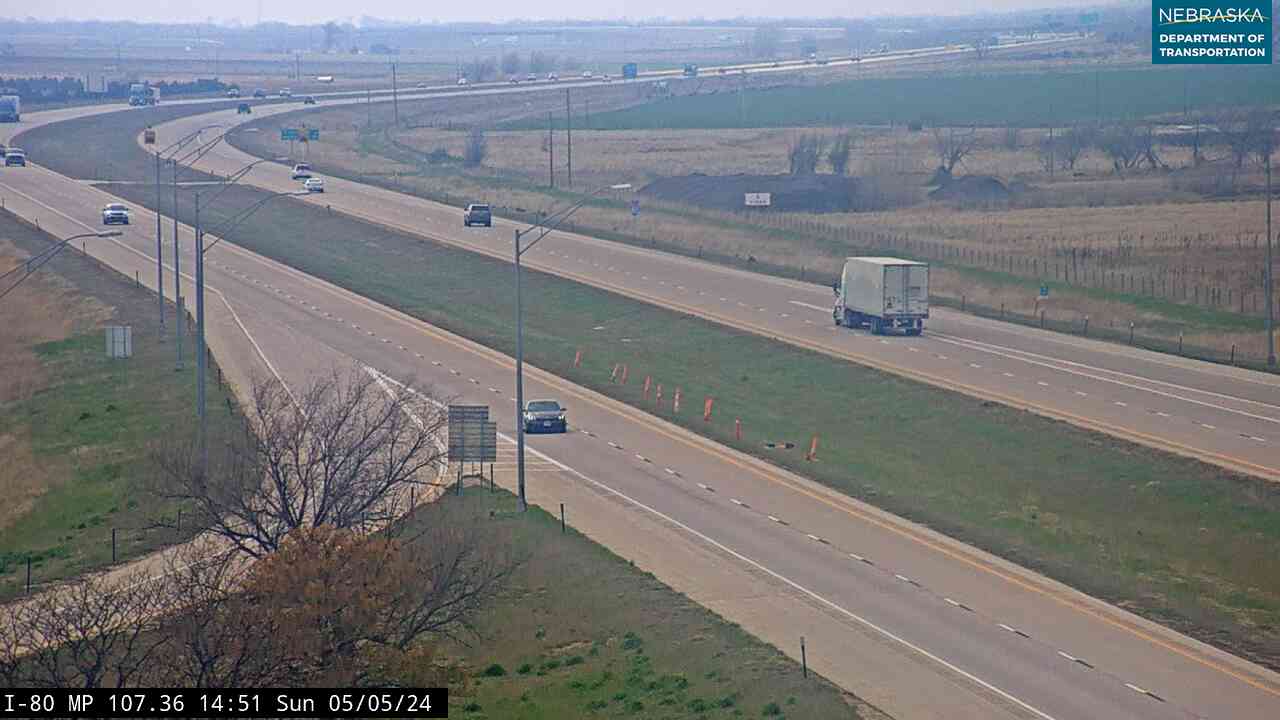
Live images from Nebraska 511 cameras along the Lincoln Highway route, east to west. Click a picture for the full-size view. For every camera in the state, see Nebraska Cameras.

Related Trails and Corridors
- Great Platte River Road — the wagon trails, railroad and highway in the same valley
- Oregon National Historic Trail and Mormon Pioneer National Historic Trail
- Meridian Highway — the north–south auto trail of the same era
- US Highway 30, Interstate 80 and US Highway 275
- ← All Nebraska Trails