
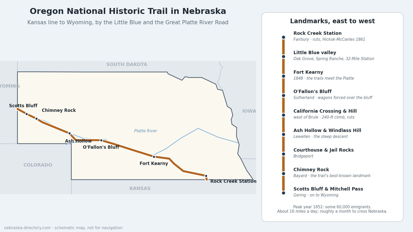
Oregon National Historic Trail in Nebraska: The Great Platte River Road
More of the Oregon Trail runs through Nebraska than through any other state except Oregon and Wyoming, and much of it is still easy to follow. Emigrants bound for Oregon, California and Utah entered from Kansas near Fairbury, followed the Little Blue River northwest, struck the Platte River near Fort Kearny, and then walked beside the Platte and the North Platte for weeks to the landmarks of the Panhandle: Courthouse Rock, Chimney Rock and Scotts Bluff. Travelers called this stretch the Great Platte River Road.
Trail at a Glance
- Designated: by Congress in 1978, as an amendment to the National Trails System Act.
- Length: about 2,000 miles from Missouri to Oregon, according to the National Park Service, or about 2,250 miles counting the alternate routes. You will also see 2,170 miles quoted.
- In Nebraska: the Park Service's auto tour route from the Kansas line to the Wyoming line is 424 miles.
- Counties: Jefferson, Thayer, Nuckolls, Clay, Adams, Kearney, Phelps, Gosper, Dawson, Lincoln, Keith, Garden, Morrill and Scotts Bluff.
- Managed by: the National Park Service's National Trails Office, with states, landowners and partners. The trail is a series of ruts, graves, landmarks and markers, not one continuous footpath.
- Shared route: in Nebraska the Oregon, California and Pony Express trails follow much the same road; the Mormon Pioneer Trail ran up the north side of the Platte.
The Route, East to West
Rock Creek and the Little Blue
The trail crossed into Nebraska in southern Jefferson County and forded Rock Creek at Rock Creek Station, east of Endicott, where wagon ruts are still plain to see. Near Fairbury, 49er George Winslow died of cholera on June 8, 1849; his grave is preserved. From there the road followed the Little Blue River northwest past road ranches and stations such as Oak Grove in Nuckolls County, raided on August 7, 1864, and Spring Ranche in Clay County, founded about 1863 and burned in 1864. Thirty-Two Mile Station, about 5 miles southwest of Hastings, took its name from its distance to Fort Kearny. Adams County still has about 29 miles of original trail, and the grave of Susan Haile (1852) lies in Kenesaw Township. Beyond the Little Blue, a dry day's march of 18 to 20 miles over the divide brought wagons to the Platte.
Fort Kearny and the Platte
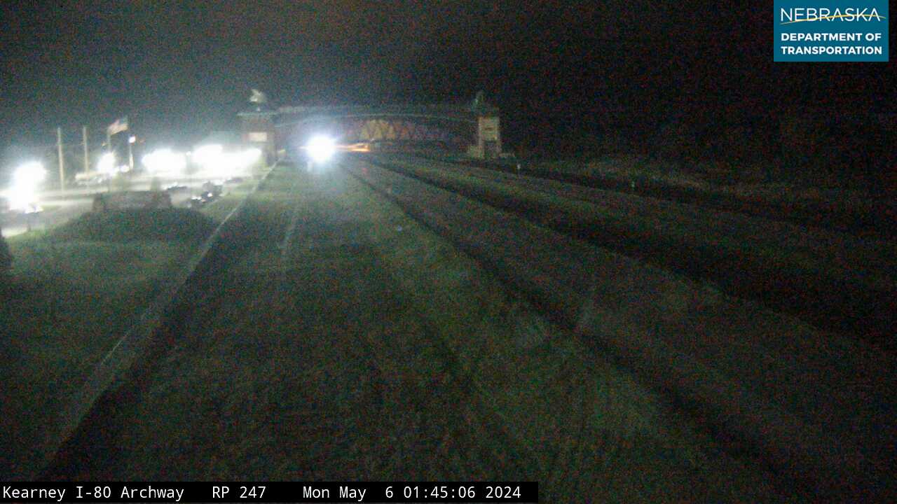
The Army built Fort Kearny in 1848, near the head of Grand Island on the south bank of the Platte, to protect and supply travelers. From here the trail followed the south side of the Platte west across Phelps, Gosper, Dawson and Lincoln counties. Today the Archway spans Interstate 80 east of Kearney and tells the story of the Great Platte River Road. At O'Fallon's Bluff, near Sutherland, a three-mile stretch of bluff came down to the river's edge and forced wagons up and over it; a rest area on Interstate 80 marks the spot.
The South Platte Crossing, California Hill and Ash Hollow
West of the forks of the Platte, most emigrants forded the South Platte about 4 miles west of Brule, then climbed California Hill, rising about 240 feet in a mile and a half. The ruts are still visible north of U.S. 30 and the site is open to the public. The road then crossed the tableland to Windlass Hill, where wagons were eased down a slope of about 25 degrees into Ash Hollow, south of Lewellen, with its springs, shade and wood. The grave of emigrant Rachel Pattison is in the nearby cemetery. Ash Hollow is also where the Army attacked Little Thunder's Lakota band at the Battle of Blue Water on September 3, 1855.
The Landmarks of the North Platte
Along the North Platte, travelers watched for the great rock formations of the Panhandle:
- Courthouse and Jail Rocks, south of Bridgeport: clay, sandstone and volcanic ash rising about 400 feet above the valley. The name was in use by 1837.
- Chimney Rock, near Bayard: the trail's best-known landmark, rising more than 300 feet above the surrounding land. It is mentioned by 95 to 97 percent of the emigrants who kept journals. It became a National Historic Site in 1956, and History Nebraska runs its visitor center.
- Scotts Bluff National Monument, west of Gering: the bluff rises 800 feet above the river. Until 1850 wagons swung south through Robidoux Pass in the Wildcat Hills; from 1851 they used Mitchell Pass, between Eagle Rock and Sentinel Rock, where a half-mile walking path follows the old road. Erosion has erased the actual ruts here, but the roadbed is plain to see.
From Scotts Bluff the trail continued up the North Platte into Wyoming, toward Fort Laramie.
Feeder Routes
Not everyone started in Missouri. The Ox-Bow Trail, also called the Old Fort Kearny or Nebraska City Road, ran from Plattsmouth and Nebraska City north to the Platte and then west. After 1860, the Nebraska City–Fort Kearny Cutoff carried freight more directly west and saved nearly 200 miles. On the north side of the Platte, the Council Bluffs Road carried most Mormon emigrants; see the Mormon Pioneer Trail.
By the Numbers
- Traffic: some 25,000 emigrants in 1849 and nearly 50,000 in 1850, peaking at some 60,000 in 1852, according to the Park Service's Nebraska guide. Estimates of the total on all the western trails run from about 350,000 to more than 500,000.
- Pace: about 16 miles a day; crossing Nebraska took roughly a month, and the trip from the Missouri River to Scotts Bluff about six weeks.
- Cost: the Park Service estimates that disease, mostly cholera, killed as many as 30,000 travelers on the trails, roughly 10 to 15 graves for every mile. One 1852 emigrant remembered that for 400 miles "the road was almost a solid graveyard."
Places to Visit
- Rock Creek Station State Historical Park — 57426 710th Rd., Fairbury; 402-729-5777. Ruts, rebuilt ranch buildings, visitor center and camping. Park entry permit required.
- Thirty-Two Mile Station marker — South Osage Ave., about 5 miles southwest of Hastings.
- Fort Kearny State Historical Park — 1020 V Rd., Kearney; 308-865-5305. Rebuilt stockade, blacksmith shop and interpretive center.
- The Archway — over Interstate 80, east of Kearney.
- O'Fallon's Bluff — Interstate 80 eastbound rest area near Sutherland, mile 159. Ruts marked with iron wagon-wheel hoops.
- California Hill — U.S. 30, about 4.5 miles west of Brule. Ruts up the first big hill on the trail.
- Ash Hollow State Historical Park — 4265 U.S. 26, Lewellen; 308-778-5651. Windlass Hill ruts and visitor center (seasonal). Park entry permit required.
- Courthouse and Jail Rocks — Highway 88, about 5 miles south of Bridgeport. Free, open in daylight.
- Chimney Rock National Historic Site — 9822 County Rd. 75, Bayard; 308-586-2581.
- Scotts Bluff National Monument — 190276 Old Oregon Trail, Gering; 308-436-9700. Visitor center, the Oregon Trail Pathway and the 1.6-mile Summit Road with Nebraska's only three vehicle tunnels (no trailers or vehicles over 25 feet).
- Legacy of the Plains Museum — 2930 Old Oregon Trail, Gering, on the trail itself.
- Robidoux Pass — about 9 miles west of Gering. A National Historic Landmark on private land; visitors welcome.
- Wildcat Hills State Recreation Area — south of Gering, in the hills crossed by the Robidoux Pass route.
Driving the Trail Today
The Park Service's auto tour route enters on Highway 112 near Fairbury and follows U.S. 136 and state highways across the Little Blue country to Fort Kearny, then U.S. 30 and Interstate 80 along the Platte, U.S. 26 and Highway 92 up the North Platte, and U.S. 26 into Wyoming. Every July, Gering holds Oregon Trail Days, a celebration it has held since 1921.
Trail Cameras
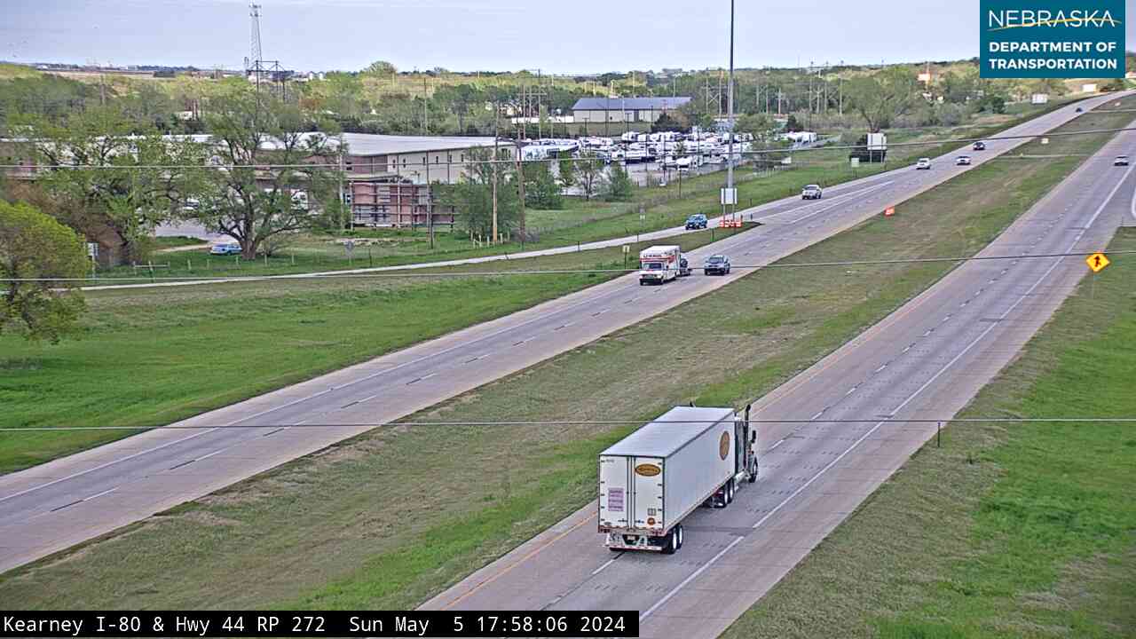
Live images from Nebraska 511 cameras along the trail route, east to west. Click a picture for the full-size view. For every camera in the state, see Nebraska Cameras.

Related Trails and Corridors
- California National Historic Trail — shares the Oregon Trail route across Nebraska
- Pony Express National Historic Trail — used the same road in 1860–61
- Mormon Pioneer National Historic Trail — the north side of the Platte
- Great Platte River Road
- Fort Kearny Hike-Bike Trail
- Interstate 80, US Highway 30, US Highway 136 and Nebraska Highway 92
- ← All Nebraska Trails