
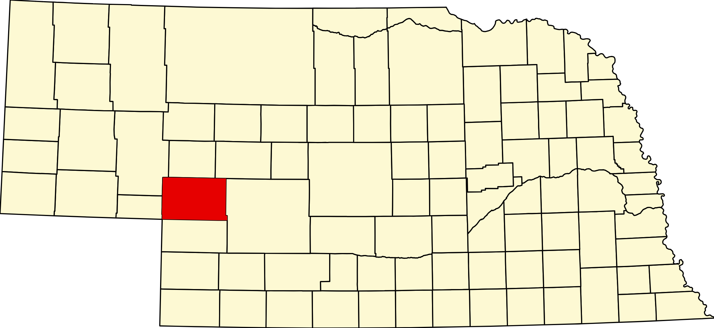
Keith County, Nebraska (Plate 68)
Keith County Cameras
Visitor & Travel Categories
Business & Economic Categories
Keith County, Nebraska
County Seat: Ogallala
Founded: 1873
Named For: M. C. Keith, a prominent early rancher and railroad figure
License Plate Prefix: 68
Population: 8,335 (2020 census)
Area: 1,110 sq mi
History
Keith County was established in 1873 and named after M. C. Keith, an influential cattleman and railroad developer. Ogallala, the county seat, became one of the most famous cattle‑towns of the Old West, serving as a major terminus for Texas cattle drives along the Western Trail. The town’s frontier history includes cowboys, longhorn herds, rail expansion, and a lively reputation that earned it the nickname “The Cowboy Capital.”
The construction of Kingsley Dam in the 1930s transformed the region by creating Lake McConaughy, which became one of Nebraska’s most important recreational and water‑management resources.
Geography
Location: Southwestern Sandhills and Platte River region
Landscape: Sandhills prairie, river valleys, rolling hills, and Nebraska’s largest reservoir
Adjacent Counties:
- Arthur County (north)
- Lincoln County (east)
- Perkins County (south)
- Garden County (west)
Culture & Landmarks
- Lake McConaughy – Nebraska’s largest lake, known for white‑sand beaches, boating, fishing, and camping.
- Kingsley Dam – One of the largest hydraulic‑fill dams in the world.
- Front Street & Cowboy Museum – A recreation of Ogallala’s frontier past with exhibits and performances.
Notable Communities
- Ogallala – County seat and regional commercial center.
- Brule – Village with strong agricultural roots.
- Roscoe – Small community along the Platte River corridor.
Events & Attractions
- Ogallala’s Annual Western Celebrations – Events honoring the county’s cowboy and cattle‑drive heritage.
- Lake McConaughy Recreation – Fishing, boating, camping, and water sports.
- Historic Trails & Museums – Exhibits highlighting the cattle‑drive era and frontier life.
Living in Keith County
Keith County blends Sandhills ranching, Platte River agriculture, and major recreational tourism. Ogallala provides schools, healthcare, and commercial services, while Lake McConaughy draws visitors from across the region. Residents value the area’s frontier history, outdoor recreation, and strong community identity.
Keith County Road Map
Download the printable county road map (PDF, Nebraska Dept. of Transportation)
Keith County Road Map
Download the printable county road map (PDF, Nebraska Dept. of Transportation)
Keith County at a Glance
Keith County, Nebraska — created in 1873. The namesake is disputed: sources split between M. C. Keith of North Platte, whose grandson became Nebraska’s eighteenth governor, and John Keith, also of North Platte. County seat Ogallala, founded in 1868 — the Union Pacific had reached the site on 24 May 1867, before the town was even platted. Ogallala became the northern terminus of the Texas cattle drives, which earned it two nicknames it has never quite shaken: “the town too tough for Texas” and “the Gomorrah of the West”. Population peaked at 9,364 in 1980; 8,335 at the 2020 census. 91 listings across 6 towns.
Getting there: Interstate 80, US-30, US-26, NE-61 and NE-92, with the Union Pacific main line alongside. Keith County is on MOUNTAIN TIME — the easternmost Nebraska county that is, so the clock changes here on I-80.
Lake McConaughy is the reason most people come. Nebraska’s largest reservoir — 22 miles long with 76 miles of shoreline, around 30,000 surface acres in normal conditions and up to 35,700 at full pool, 142 feet deep by the dam. Kingsley Dam, built 1936–41, stands 162 feet high and 3.1 miles long and was the second-largest hydraulic-fill dam in the world when it was finished. The white sand beaches are unlike anything else in Nebraska.
Camping is extensive and priced differently from the rest of the state. Seven campgrounds — Lone Eagle (84 full-service sites with sewer and a dump station), Cedar View (102), Little Thunder (42), plus Martin Bay, Sandy Beach, Spring Park and Otter Creek — and, remarkably, more than 950 designated beach campsites along Shoreline Road with roughly a thousand more informal ones depending on water level. Electric service runs 15, 20, 30 and 50 amp.
Two things to know before booking. Lake McConaughy is the one Nebraska state area with its own fee schedule, and the only one with day-of-week pricing — in peak season a full hookup runs about $40 Thursday to Saturday and $35 Sunday to Wednesday, dropping to $30 off-season, with basic sites from $10. And beach camping books only 30 days ahead, against 180 days for the designated sites. Official pages disagree on the exact peak-season dates in 2026, so confirm when you book.
Also here: California Hill near Brule, where the wagon ruts of the Oregon and California trails are still cut into the ground as the emigrants climbed away from the South Platte — one of the best surviving trail traces in the state. Ash Hollow lies just west over the Garden County line. Ogallala’s Front Street and the Brandhoefer Mansion are among the county’s 13 National Register listings.
No individual with an authoritative biography can be verified as born in Keith County.
Keith County · Central · Interstate 80 Corridor · Explore Nebraska
The Morrill Fire. Between 12 and 25 March 2026 the Morrill Fire ran east out of Morrill County on high winds through Garden, Grant, Arthur and Keith counties, reaching 642,029 acres — the largest wildfire in Nebraska history. One person died and numerous structures were lost. The burn reached the western part of this county; rangeland and back roads there are a changed landscape, and anyone planning a hunt or a back-road drive should check the Nebraska Game and Parks Public Access Atlas and call ahead before setting out.
