
Mormon Pioneer National Historic Trail in Nebraska: The North Side of the Platte
In the spring of 1847, Brigham Young led the first company of Latter-day Saints west from Winter Quarters, on the bluffs above the Missouri River in what is now North Omaha. To keep clear of the Oregon Trail crowds on the south bank, they broke their own road along the north side of the Platte River, all the way across Nebraska. Over the next two decades about 70,000 Latter-day Saints followed it to the Salt Lake Valley, and so did many gold seekers. Today much of the route is followed by U.S. 30, Interstate 80 and U.S. 26.
Trail at a Glance
- Designated: November 10, 1978, by Congress.
- Length: almost 1,300 miles, from Nauvoo, Illinois, to Salt Lake City, through Illinois, Iowa, Nebraska, Wyoming and Utah. About 500 miles of it are in Nebraska; the Park Service counts 511 original route miles.
- Travelers: about 70,000 Latter-day Saints between 1846 and 1868, according to the National Park Service, including nearly 3,000 who walked pulling handcarts.
- Counties: Douglas, Dodge, Colfax, Platte, Nance, Merrick, Hall, Buffalo, Dawson, Lincoln, Keith, Garden, Morrill and Scotts Bluff.
- Managed by: the National Park Service's National Trails Office, with the Church of Jesus Christ of Latter-day Saints, the state, landowners and partners.
Winter Quarters
Driven from Nauvoo in February 1846, the Saints crossed Iowa and reached the Missouri River in June. That July about 500 of their men volunteered for the Mormon Battalion and marched to California for the U.S. Army. In August the rest settled at Cutler's Park, about 2,500 people with a mayor, council and police, west of today's Florence. A land dispute between the Omaha and Otoe tribes moved them a few miles east, and by Christmas some 3,500 people lived at Winter Quarters in more than 600 cabins and dugouts. Scurvy, malaria and measles swept the camp; some 600 people are believed to be buried in its cemetery, though estimates vary. The Saints left for Kanesville, Iowa, in the spring of 1848, and the town of Florence, now part of Omaha, grew up on the site in 1854.
The 1847 Pioneer Company, East to West
The Elkhorn and the Liberty Pole
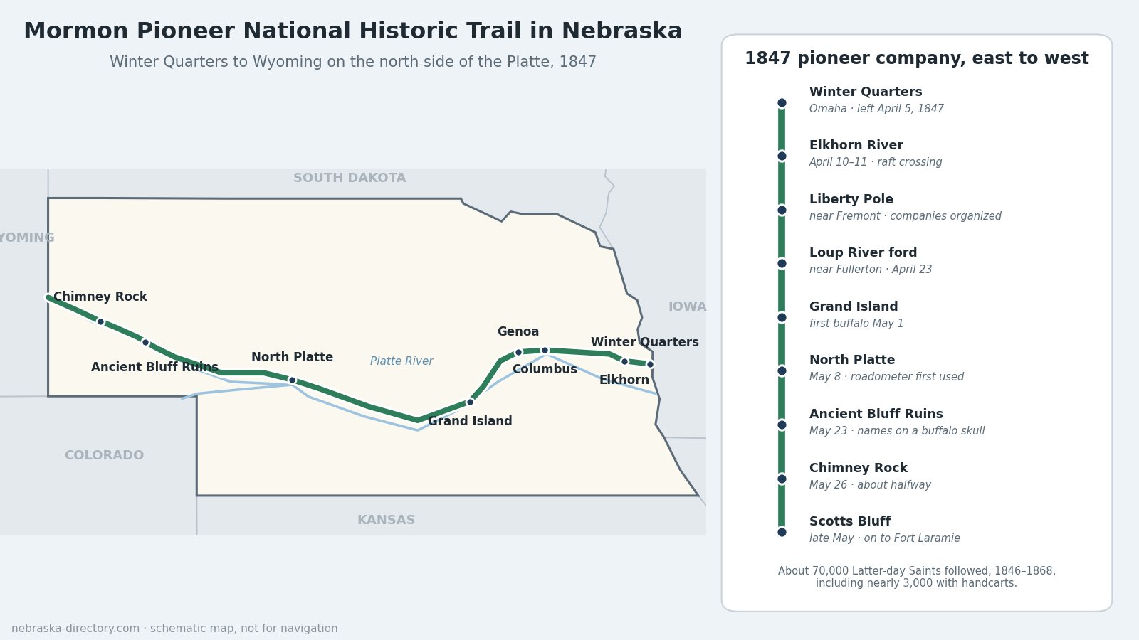
Brigham Young's vanguard of 148 people (143 men, three women and two boys) with 72 wagons began leaving Winter Quarters on April 5, 1847. They reached the Elkhorn River, 27 miles out, on April 10 and floated the wagons across on a cottonwood raft; the spot is now Elkhorn Crossing Recreation Area. Just west, around a cottonwood Liberty Pole near today's Fremont, they organized into companies of hundreds, fifties and tens. A Park Service wayside at Fremont Lakes State Recreation Area marks it. Behind them they set a marker every 10 miles, built ferries and kept notes for those who followed.
The Loup River and Genoa
The swift, quicksand-bottomed Loup forced them about 50 miles up its north bank to a ford near Fullerton, where they camped on April 23. Later companies used a ferry at Columbus from 1858 and a ford at Genoa. In May 1857 Latter-day Saints founded Genoa itself, about 162 people, as a way station for the Brigham Young Express and Carrying Company. In 1859 the land became the Pawnee Reservation and they had to leave. The Genoa Historical Museum and the Genoa U.S. Indian School museum tell what came next.
Along the Platte
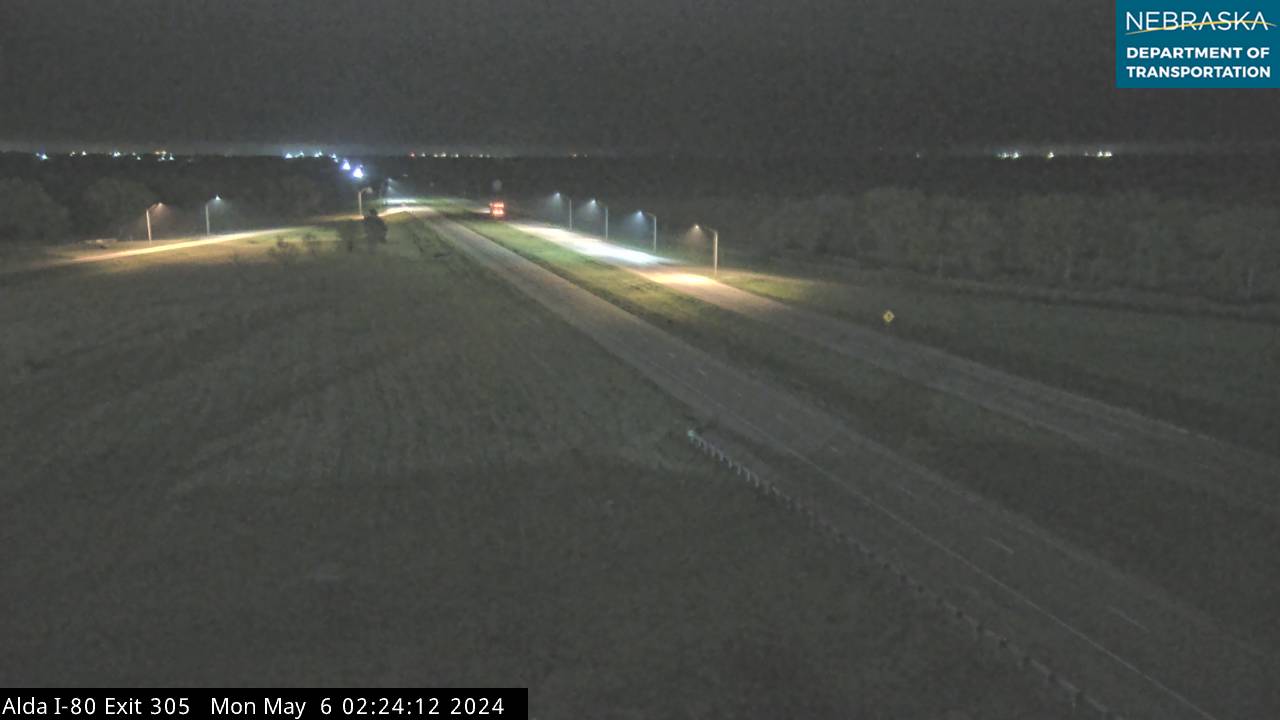
From the Loup the road angled southwest to the Platte near Grand Island, where Stuhr Museum has a state historical marker and wagon ruts survive south of Alda. The company killed its first buffalo for food on May 1, and in the second week of May crossed what one diarist called an ocean of buffalo. Near today's North Platte, on May 8, they first used the odometer, or roadometer, that William Clayton proposed and Appleton Harmon built: a set of wooden gears on a wagon wheel that counted the miles. A wayside at North Platte Regional Airport marks it, and the Sand Hill ruts lie about 4 miles north of Sutherland. The pioneers passed opposite Ash Hollow on the other side of the river.
The Panhandle
On May 22 Clayton saw Chimney Rock, 42 miles off. The next day, a Sunday, the leaders climbed the Ancient Bluff Ruins between Lisco and Broadwater, named by English converts for the ruined castles of home, and wrote their names on a buffalo skull. They reached Chimney Rock, the rough halfway point of the journey, on May 26. Near Scotts Bluff, tired of card playing, profanity and quarreling in camp, Brigham Young rebuked the company, and its members promised to do better. They stayed on the north bank into Wyoming, crossed the North Platte at Fort Laramie in June, and reached the Salt Lake Valley on July 24, 1847.
Handcarts and Later Companies
From 1856 to 1860, ten companies of poorer emigrants, nearly 3,000 people with 653 handcarts, started from Iowa City and walked the rest of the way, outfitting at Florence. The first left Florence on July 20, 1856. The Willie and Martin companies left late, on August 17 and 27, 1856, and were caught by early snow in Wyoming, where more than 200 of them died. Many earlier travelers never arrived either. The grave of Rebecca Winters, who died of cholera in 1852 and whose grave was marked with a wagon tire, is now in Rebecca Winters Memorial Park east of Scottsbluff.
Places to Visit
- Mormon Trail Center at Historic Winter Quarters — 3215 State St., Omaha; 402-453-9372. Free exhibits with a covered wagon, cabin and handcart. Generally Monday–Saturday 10–5 and Sunday 1–5; call ahead.
- Winter Quarters Mormon Pioneer Cemetery — 3301 State St., next to the Trail Center. Avard Fairbanks' 1936 statue "Tragedy at Winter Quarters" and a bronze tablet of names. Dawn to dusk.
- Florence Mill — 9102 N. 30th St., Omaha, on the site of the Mormons' 1846 mill, rebuilt in 1856 with some original timbers. Seasonal museum and Sunday farmers market.
- Historic Florence Bank and Depot museums — the 1856 Bank of Florence and the town that grew on the Winter Quarters site.
- Cutler's Park memorial — Mormon Bridge Rd., north of Young St., Omaha. Monuments and exhibits at the Saints' first 1846 camp.
- Elkhorn Crossing Recreation Area — 252nd St. and Bennington Rd.; 402-444-6222. Park Service wayside, camping and river access. Open April 1 to November 1.
- Fremont Lakes State Recreation Area — Liberty Pole wayside. Park entry permit required.
- Genoa City Park, Genoa Historical Museum and Genoa U.S. Indian School museum — markers for the 1857 settlement and the Pawnee and Indian School history that followed.
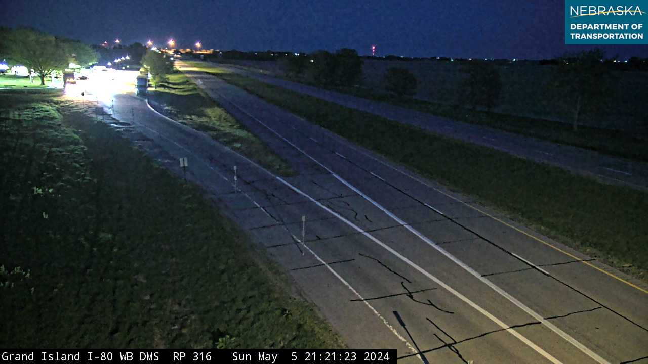
- Stuhr Museum of the Prairie Pioneer — 3133 W. Highway 34, Grand Island; 308-385-5316. The Interstate 80 westbound rest area near mile 316 has another Mormon Trail marker.
- Ancient Bluff Ruins — pullout on U.S. 26, about 6 miles west of Lisco. The bluffs are on private land; view from the road.
- Chimney Rock National Historic Site — 9822 County Rd. 75, Bayard; 308-586-2581.
- Rebecca Winters Memorial Park — U.S. 26, east of Scottsbluff.
Driving the Trail Today
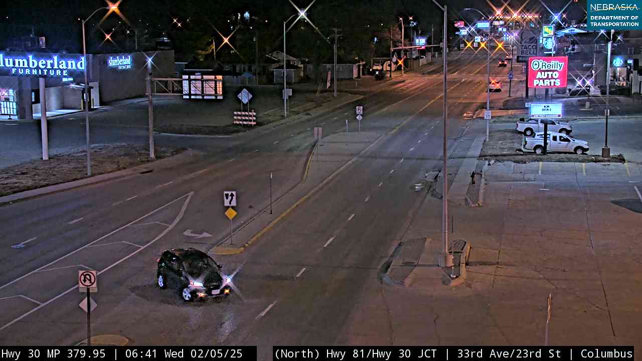
The Park Service's auto tour route leaves Omaha on U.S. 75, Highway 36 and U.S. 275 to Fremont, then follows U.S. 30 west to Columbus. It detours up U.S. 81 and Highway 22 to Genoa, returns by Highway 14 to U.S. 30, and follows the Platte to Ogallala, where it takes U.S. 26 along the north side of the North Platte into Wyoming. Florence Days, each May in North Omaha, celebrates the old Winter Quarters town.
Trail Cameras
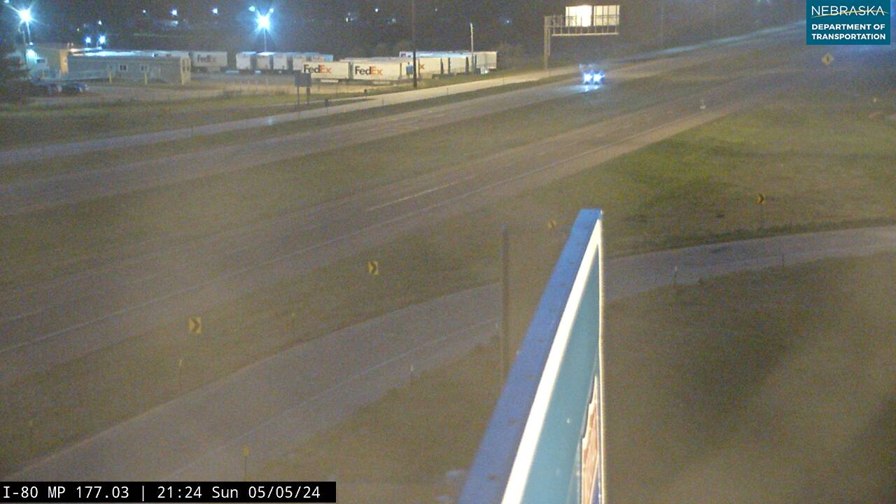
Live images from Nebraska 511 cameras along the Mormon Trail route, east to west. Click a picture for the full-size view. For every camera in the state, see Nebraska Cameras.


Related Trails and Corridors
- California National Historic Trail — many 49ers used the Mormons' north-side road
- Oregon National Historic Trail — the south side of the Platte
- Great Platte River Road
- US Highway 30, Interstate 80, US Highway 275 and US Highway 81
- ← All Nebraska Trails