
Lewis and Clark National Historic Trail in Nebraska: Up the Missouri
In the summer of 1804, Meriwether Lewis, William Clark and the Corps of Discovery poled and towed their keelboat and two pirogues up the Missouri River along the whole eastern and northeastern edge of what is now Nebraska. Here they held their first council with American Indian nations, buried their only fallen member on the bluffs across the river, and first described the prairie dog. Two years later they came racing back down the same river toward St. Louis. Today the river towns, state parks and overlooks from Rulo to Lynch let you follow them.
Trail at a Glance
- Designated: November 10, 1978, one of the first four national historic trails.
- Length: about 4,900 miles through 16 states, from Pittsburgh to the mouth of the Columbia River, after an eastern extension added in 2019.
- In Nebraska: the Missouri River from the Kansas line near Rulo to the South Dakota line in Boyd County, past Richardson, Nemaha, Otoe, Cass, Sarpy, Douglas, Washington, Burt, Thurston, Dakota, Dixon, Cedar, Knox and Boyd counties.
- Headquarters: the National Park Service runs the trail from its headquarters and visitor center on the Omaha riverfront.
The Expedition in Nebraska, 1804
The lower river
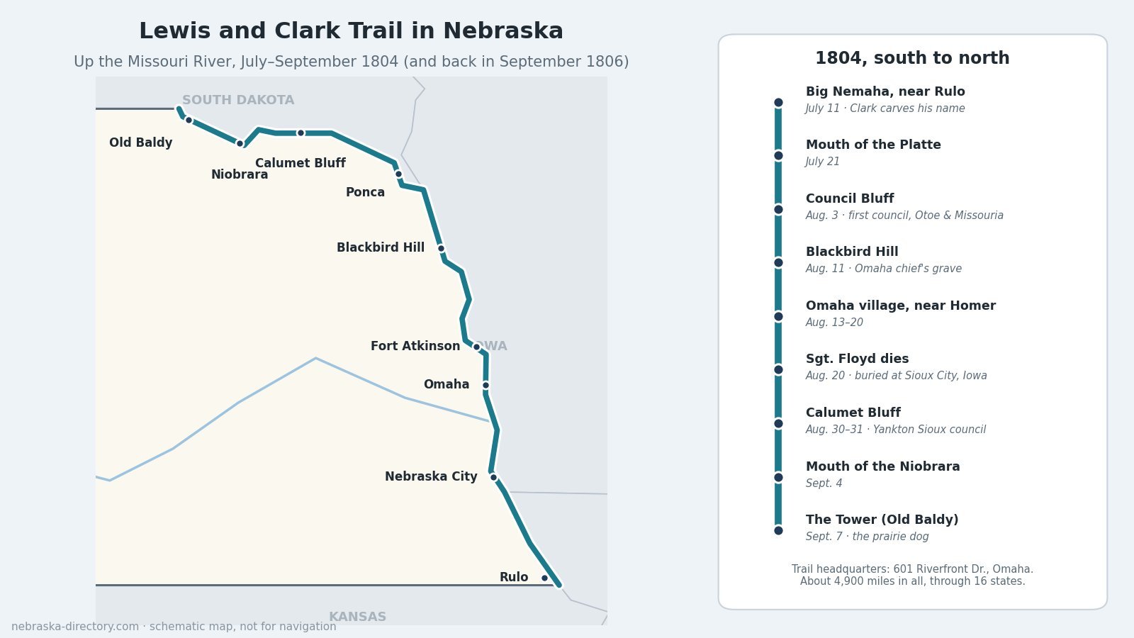
On July 11, 1804, the expedition camped on an island opposite the mouth of the Big Nemaha, a few miles below today's Rulo. Clark climbed a mound and carved his name and the date near an Indian rock carving; it has never been found. They camped north of Rulo on July 13 and just south of Brownville on July 15. On July 21 they reached the mouth of the Platte, about three-quarters of a mile wide across its sandbars, and camped in Sarpy County just above Papillion Creek. From July 22 to 26 they rested at White Catfish Camp, about 10 miles upstream on the far (Iowa) bank across from Bellevue, and sent men to find the Otoe and Pawnee. A marker in N.P. Dodge Memorial Park in Omaha recalls their July 27 camp.
Council Bluff
On August 3, 1804, the captains held their first council with American Indian leaders, the Otoe and Missouria, on a bluff Clark named Council Bluff and judged "well Calculated for a Tradeing establishment." The Army built Fort Atkinson on the same bluffs in 1820; today it is Fort Atkinson State Historical Park at Fort Calhoun. A few days earlier, Private Joseph Field had killed a badger nearby, the first animal Lewis preserved as a specimen, and on August 5 Lewis described the interior least tern in today's Washington County.
Blackbird Hill and the Omaha village
On August 11, Lewis, Clark and ten men climbed Blackbird Hill, about 300 feet high near today's Macy, to the grave of the Omaha chief Blackbird, who had died of smallpox about 1800, and left a flag on a pole above it. From August 13 to 20 they camped near Tonwontonga, the Omaha "Big Village" about a mile north of today's Homer, burned after the smallpox epidemic. There they held a court-martial for the deserter Moses Reed, met Otoe chiefs, and celebrated Lewis's thirtieth birthday on August 18. On August 20, Sergeant Charles Floyd died, probably of a ruptured appendix, and was buried on a bluff on the Iowa side at today's Sioux City, the only member of the expedition to die on the journey.
Calumet Bluff to the Tower
On August 24 the boats passed a smoking "burning bluff" in Dixon County, later called the Ionia Volcano; it was shale heating as it oxidized, not a volcano. From August 28 to September 1 they camped below Calumet Bluff in Cedar County, just below today's Gavins Point Dam, and on August 30 and 31 held a council with the Yankton Sioux. On September 4 they passed the mouth of the Niobrara, 152 yards wide, near today's Niobrara, where they also found buffaloberry, and on September 6 noted their first pronghorn. On September 7, at a rounded hill they called the Tower, today's Old Baldy near Lynch, the men poured five barrels of water down a burrow to flush out the first black-tailed prairie dog described for science. The live one they caught later was sent to President Jefferson.
The Return, 1806
Coming home in 1806, the expedition passed the Niobrara again on September 1 and met friendly Yanktons. On September 3 they met trader James Aird and heard their first news in months. On September 4 they found Sergeant Floyd's grave opened and refilled it, and on September 8 they stopped again at Council Bluff before paddling 78 miles in a day. On September 11 they passed the Big Nemaha and left Nebraska waters, reaching St. Louis on September 23.
Places to Visit, South to North
- Indian Cave State Park — 65296 720 Rd., Shubert; 402-883-2575. 3,052 acres on the Missouri bluffs, with a petroglyph cave, the St. Deroin living-history village and 22 miles of trails. Park entry permit required.
- Missouri River Basin Lewis and Clark Visitor Center — 100 Valmont Dr., Nebraska City; 402-874-9900. A three-story center on a 79-acre bluff above the Missouri, run by a nonprofit foundation; admission charged, hours vary by season.
- Fontenelle Forest — Bellevue; 402-731-3140. Nature center and trails on the Missouri River bluffs.
- Lewis and Clark Trail Headquarters Visitor Center — 601 Riverfront Dr., Omaha; 402-808-2714. Free, open daily 8:30–4:30.
- Fort Atkinson State Historical Park — 201 S. 7th St., Fort Calhoun; 402-468-5611. Council Bluff, a rebuilt fort and living-history weekends the first weekend of each month, May through October. Park entry permit required.
- Washington County Museum — 102 N. 14th St., Fort Calhoun; 402-468-5740. Includes a Lewis and Clark display.
- Blackbird Hill — on the Omaha Reservation near Macy. Private land; view from nearby roads only.
- Ponca State Park — 88090 Spur 26E, Ponca; 402-755-2284. Gateway to the Missouri National Recreational River, with a resource and education center and 22 miles of trails.
- Lewis and Clark Visitor Center at Gavins Point — on Calumet Bluff, 55245 Highway 121, Crofton; 402-667-2546. Run by the U.S. Army Corps of Engineers, overlooking the 1804 council site.
- Lewis and Clark State Recreation Area — on Lewis and Clark Lake near Crofton; 402-388-4169.
- Niobrara State Park — 89261 522 Ave., Niobrara; 402-857-3373. At the mouth of the Niobrara, near the September 4, 1804 camp.
- Old Baldy (the Tower) — about 7 miles north of Lynch. Private; view from the roadside overlook.
Driving the Trail Today
From Rulo, U.S. 159 and then U.S. 75 run north near the river through Falls City, Nebraska City, Plattsmouth, Bellevue and Omaha. North of Omaha, the Lewis and Clark Scenic Byway follows U.S. 75 about 98 miles to South Sioux City, past Fort Calhoun, Blair, the Omaha and Winnebago reservations and Blackbird Hill. From South Sioux City, Highway 12, the Outlaw Trail Scenic Byway, follows the river bluffs west through Ponca and Niobrara toward Lynch and Old Baldy. Historical markers for the 1804 campsites stand at Rulo, Brownville, Plattsmouth, Omaha, Fort Calhoun, Blair and Jackson.
River Cameras
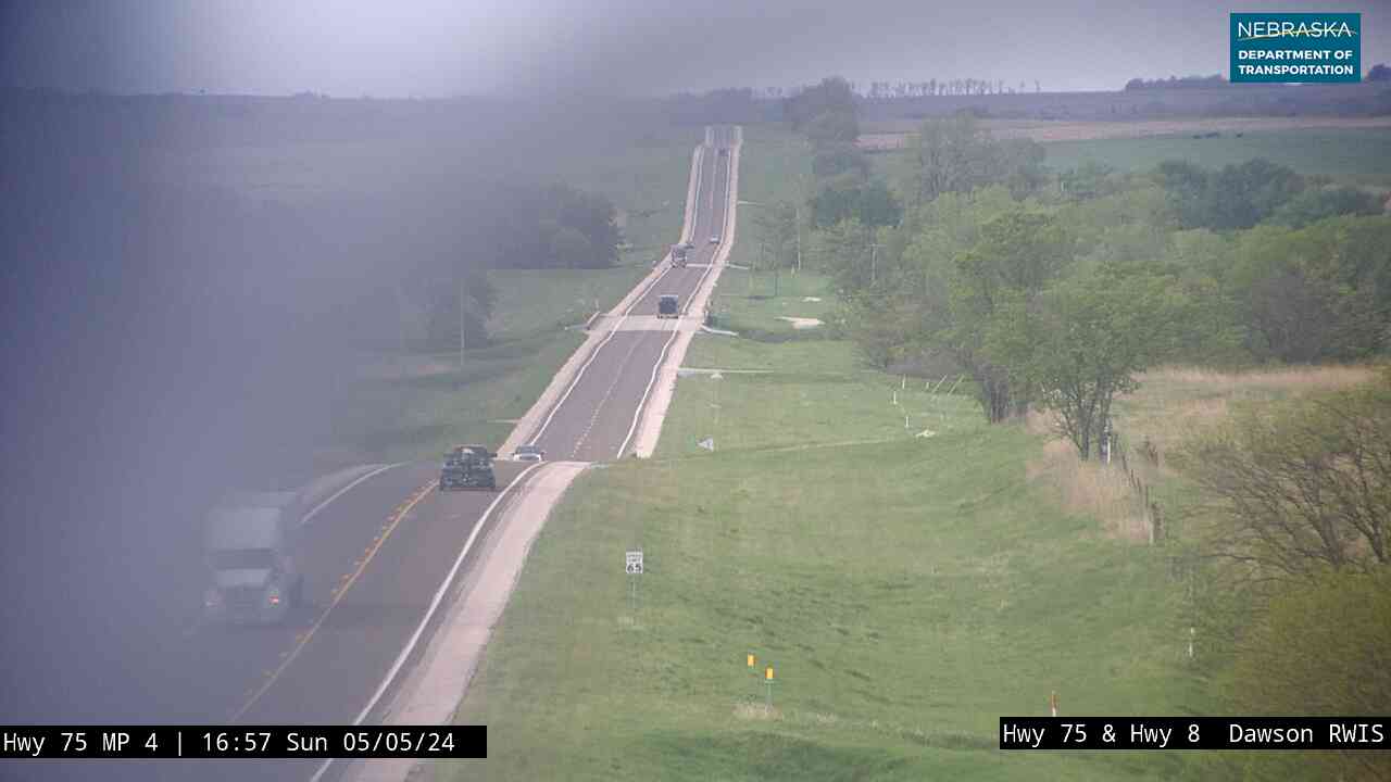
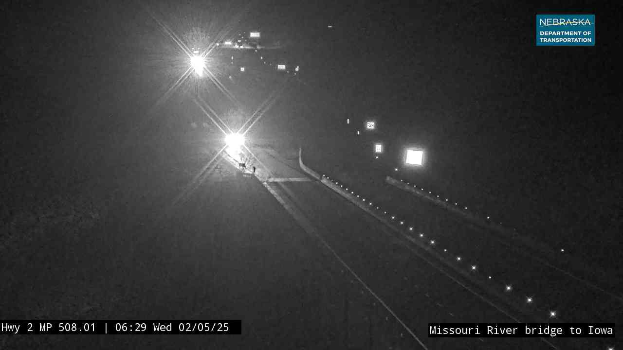
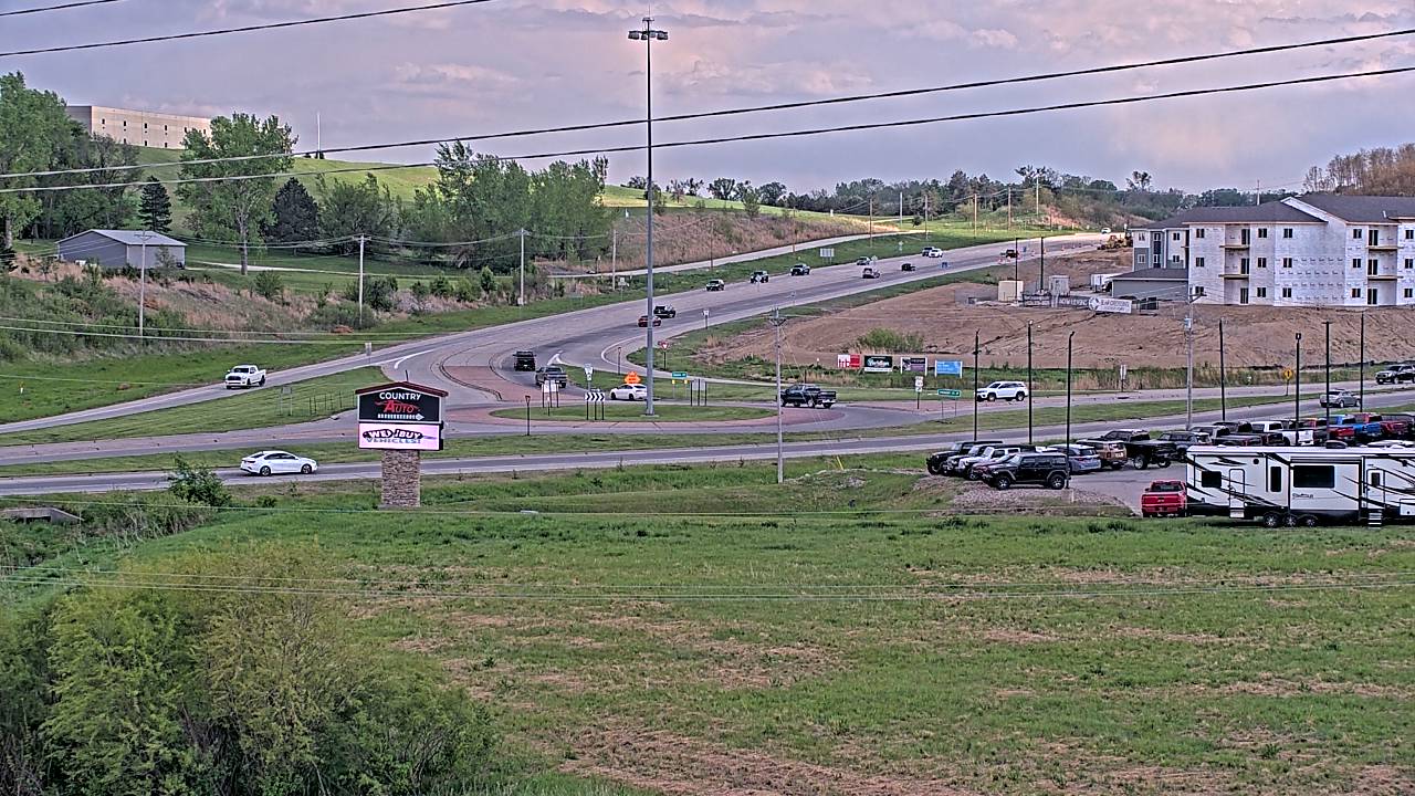
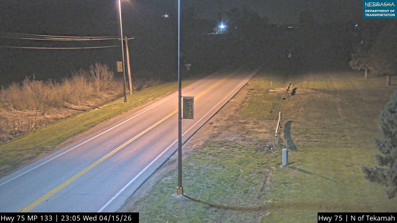
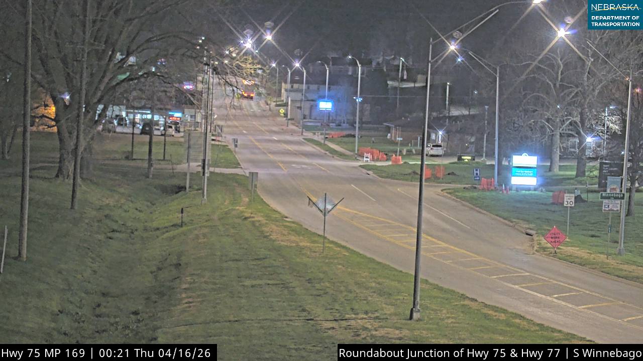
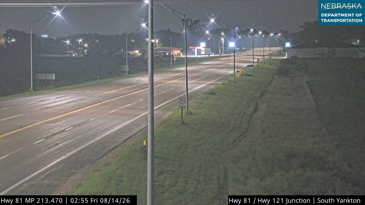
Live images from Nebraska 511 cameras near the Missouri River, south to north. Click a picture for the full-size view. For every camera in the state, see Nebraska Cameras.


Related Trails and Corridors
- Niobrara National Scenic River — the Niobrara the expedition passed on September 4, 1804
- Mormon Pioneer National Historic Trail — began at Winter Quarters on the Missouri in Omaha
- Meridian Highway — crossed the Missouri at Yankton
- Ponca Trail of Tears
- US Highway 75, Nebraska Highway 12 and US Highway 20
- ← All Nebraska Trails