
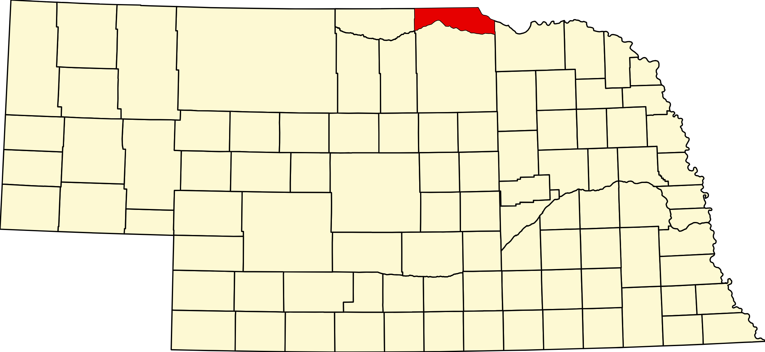
Boyd County, Nebraska
County Seat: Butte
Founded: March 20, 1891
Named For: James E. Boyd, Governor of Nebraska
License Plate Prefix: 63
Population: 1,741 (2022 est.)
Area: 545 sq mi
History
Boyd County was officially organized in 1891 and named after Governor James E. Boyd. The land was originally home to the Ponca and Sioux peoples, who lived and hunted along the Missouri River. European-American settlement accelerated in the late 19th century with the Homestead Act and railroad expansion. The county grew through farming, ranching, and small-town development, with Butte chosen as the county seat. The land north of the Niobrara River was part of Dakota Territory until 1882, when it was added to Nebraska; it was opened to settlement in 1890. Today, historic landmarks such as the Boyd County Courthouse and pioneer schoolhouses reflect the resilience of its people.
Ponca Creek crosses Boyd County and passes Lynch on its way to the Missouri. It names the Ponca homeland the tribe was removed from in 1877 — see the Ponca Trail of Tears.
Geography
- Location: Northern Nebraska, bordering South Dakota
- Landscape: Rolling prairies, fertile farmland, wooded riverbanks, and the Missouri River
- Major Waterways: Missouri River (northeast boundary), Niobrara River (south boundary), Ponca Creek
- Adjacent Counties: Knox (E), Holt (S), Keya Paha (W), Gregory and Charles Mix, SD (N)
Culture & Landmarks
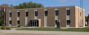
- Boyd County Courthouse (Butte) – County offices, with an old jail from about 1915–16 that is one of the few of its kind left in Nebraska.
- Monowi – Famous as the only incorporated village in the U.S. with a population of one, home to a tavern and library run by its sole resident.
- Historic Schoolhouses & Churches – Preserved sites reflecting pioneer and immigrant heritage.
Notable Communities
- Butte – County seat, courthouse square, civic hub.
- Lynch – Ponca Creek town on NE 12 with Niobrara Valley Hospital; Lewis and Clark camped near Old Baldy, north of town, in 1804.
- Spencer – Largest village, once a railroad hub, still an agricultural center.
- Monowi – Population of one, a symbol of rural resilience.
- Bristow, Anoka, Gross, Naper – Small towns with deep community traditions.
Economy & Agriculture
Agriculture dominates Boyd County, with 90% of land in agricultural use. Pastureland makes up the majority, supporting cattle ranching, while crops include corn, soybeans, wheat, alfalfa, and oats. Family farms and ranches remain the backbone of the economy, while small businesses and tourism add diversity. Visitors are drawn to the county's natural beauty, historic charm, and unique communities.
Natural Attractions & Recreation
- Missouri River – Fishing, boating, and birdwatching along scenic wooded banks.
- Niobrara River & Ponca Creek – Kayaking, fishing, and wildlife viewing.
- Boyd County Wildlife Management Areas – Hunting, camping, and hiking opportunities.
- Autumn Landscapes – Cottonwoods and maples blaze with fall color across the prairies.
Towns of Boyd County
Cities and villages
Butte
County seat where NE 11 and NE 12 meet, about 6.5 miles south of the South Dakota line. Founded in 1890. Courthouse, an Avera clinic on Mondays, a library, a city park and the Boyd County elementary campus for pre-K to grade 4.
Spencer
The largest town in Boyd County, where US 281 meets NE 12. Platted in 1891. Middle and high school, clinic, pharmacy, motel, and the county fairgrounds with a campground; the Boyd County Fair is held here in late July.
Lynch
On NE 12 in the Ponca Creek valley of eastern Boyd County. Named for first postmaster John Lynch in 1890. Niobrara Valley Hospital, an elementary school, groceries, fuel and an RV park; Old Baldy and a Lewis and Clark campsite are nearby.
Bristow
On NE 12 between Spencer and Lynch. Named for Benjamin Bristow, President Grant's Treasury secretary; the town moved to the railroad in 1902. Bank, post office, a pub and grill, and Bristow Park with RV camping.
Naper
On NE 12 in western Boyd County, 13 miles west of Butte and near the Keya Paha County line. It never had a railroad. A marker remembers the 28 airmen killed in a 1944 crash nearby; the White Horse Ranch Museum opens by appointment.
Monowi
On NE 12 about 7 miles east of Lynch. Elsie Eiler is its only resident, mayor and tavern keeper. The Monowi Tavern and Rudy's Library draw visitors from around the world.
Anoka
A village of 10 on Ponca Creek about 3 miles north of Butte. A 1902 railroad town that once had about 30 businesses and a hot mineral plunge bath. No services; Butte is nearest.
Gross
One of the smallest incorporated villages in the country, on gravel roads about 8 miles north of Bristow. It had more than 600 people in 1904 while settlers waited for South Dakota land, then lost out on the railroad.
Former towns and post office communities
Baker
Leonard C. Baker's post office started on the Dakota side of the line and moved into Nebraska in 1896. The railroad bypassed Baker for Anoka in 1902, and the town was gone by 1916.
Rosedale
A rural settlement northeast of Bristow with a school from 1891 and the Rosedale Evangelical Covenant Church. Its cemetery remains.
Mankato
A post office from 1890 to 1901, probably named for Mankato, Minnesota. When Butte grew in 1891, businesses moved there from Mankato.
Events in Boyd County
- Boyd County Fair (Spencer)
2025 Boyd County Fair - July 23rd - July 26th
Know of another event in the county? Tell us about it.
Living in Boyd County
Boyd County offers a quiet, rural lifestyle rooted in agriculture and community. With small schools, active churches, and strong volunteer organizations, residents enjoy close-knit connections and Midwestern hospitality. Though remote, the county provides essential services and access to outdoor recreation, making it a hidden gem along Nebraska's northern border.
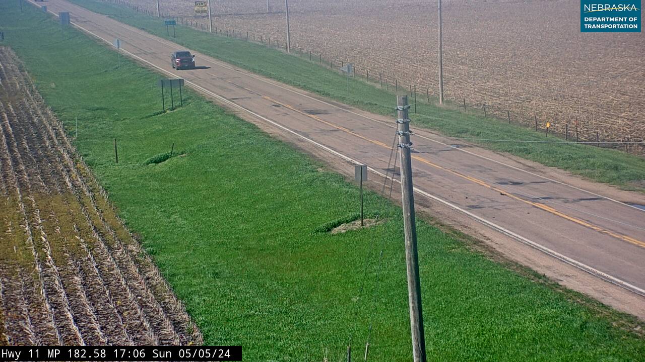
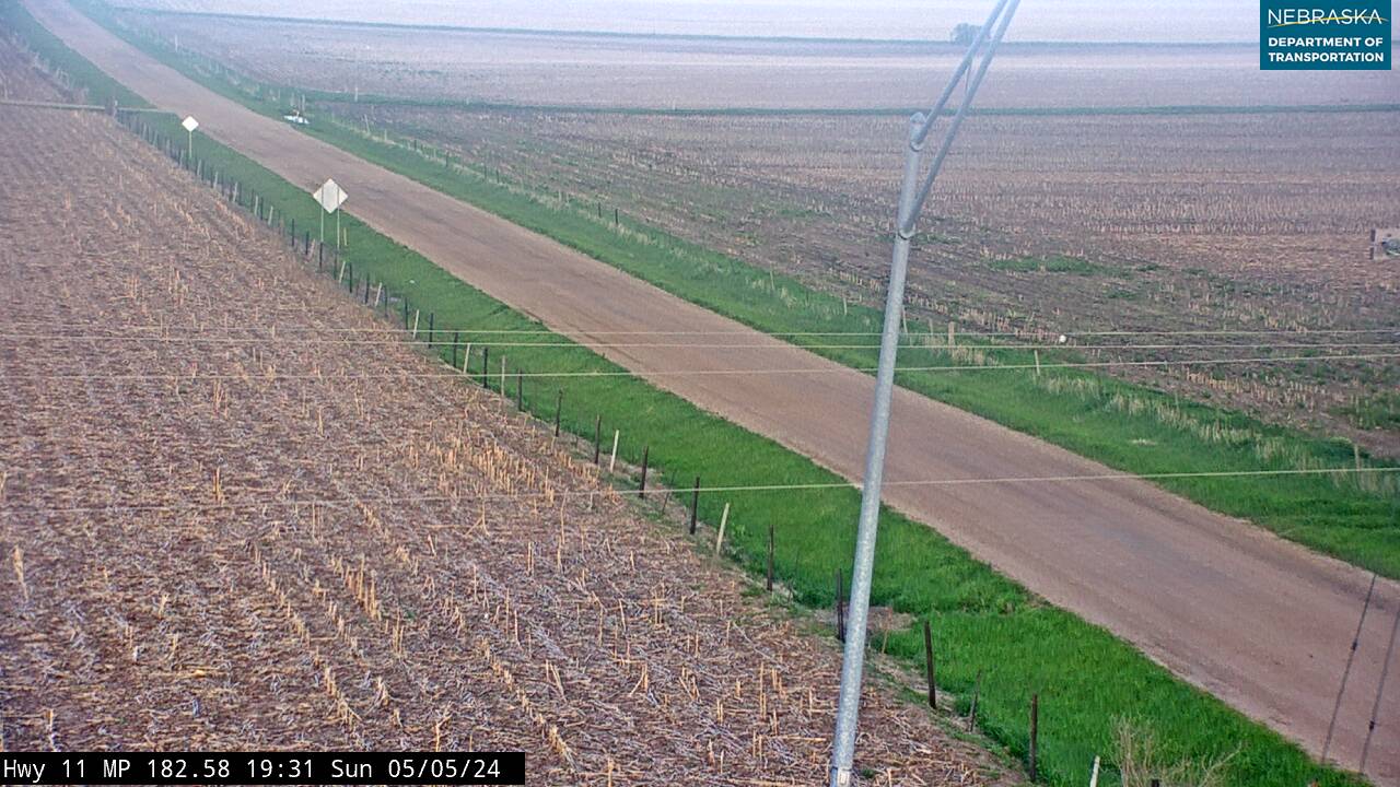
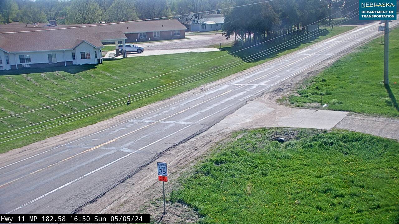
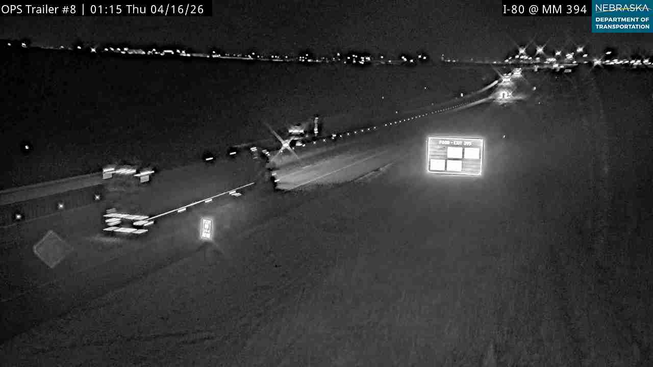
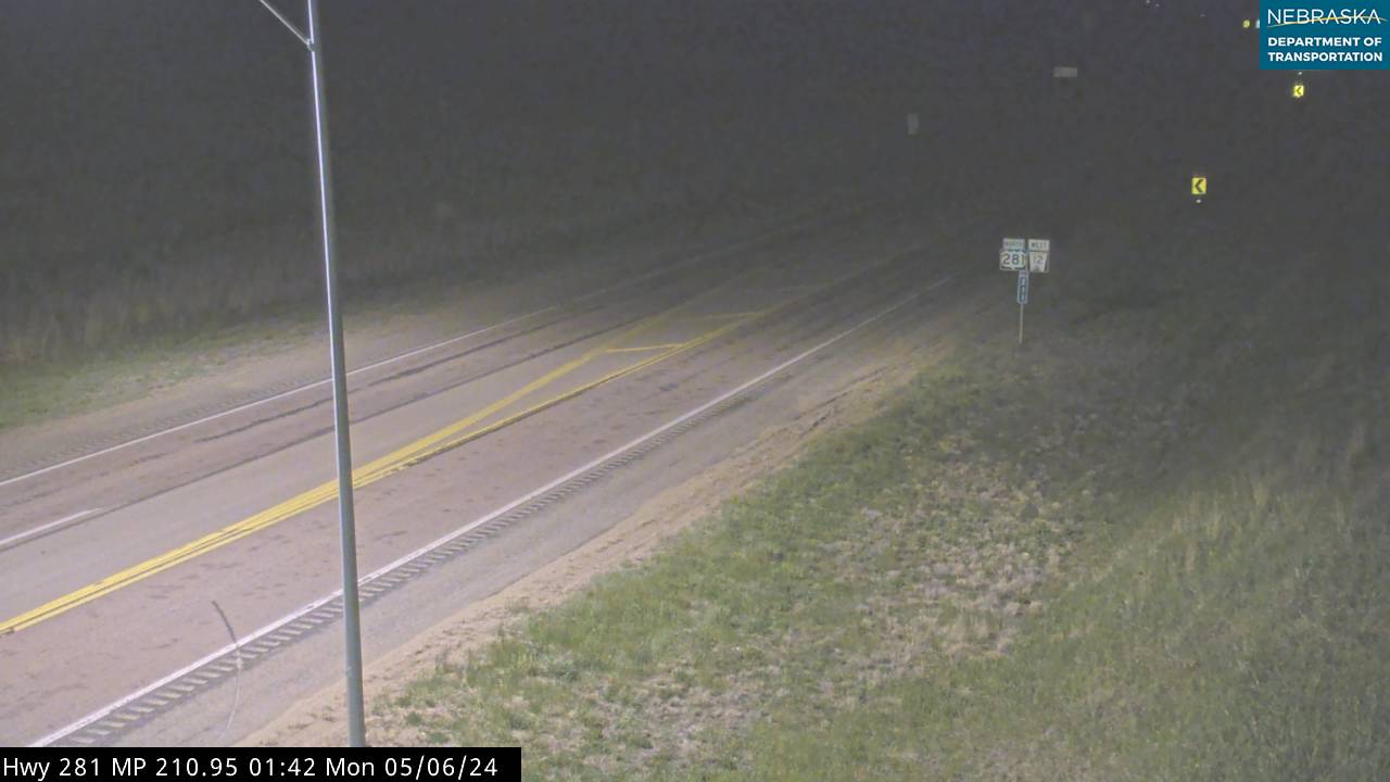
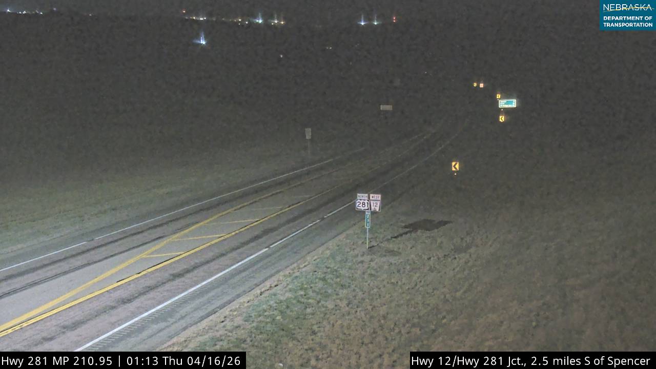
Boyd County Cameras
Outdoors — Camping, RV, Hunting & Fishing
Boyd County has no state park and no state recreation area. It is a private-land county with about 237 acres of state wildlife management area in 540 square miles. The outdoor value here is the Missouri River below Fort Randall Dam, the Niobrara River along the south line, and the Ponca Creek country in between.
Camping & RV. Lynch RV Park & Campground, 200 S. 4th St., Lynch — City of Lynch, (402) 569-3003. Reported as roughly six to ten back-in sites with full hookups (water, sewer, 30 and 50 amp), restrooms with showers, fire pits and a covered picnic area, around $25 a night, open year round. Call the village to confirm before you rely on the hookup detail. Café, groceries, fuel and a mechanic are all in town.
Sunshine Bottom River Access — Missouri River mile 866, inside the Missouri National Recreational River, managed by Nebraska Game & Parks. From Lynch take Highway 12 east 3 miles then north on Sunshine Bottom Road; it is 2½ miles east of Lynch or 4 miles west of Monowi. Primitive camping only, about 200 yards downstream on the south bank. No restrooms, no potable water, no hookups, no dump station. The ramp is canoe and kayak only — it will not take a boat trailer, and the gravel access road can be impassable when wet. This is the only Missouri River access in the county.
There is no confirmed dump station in Boyd County. The nearest is the donation-basis station on North Elm Street in Springview, Keya Paha County, about 40 miles west on Highway 12.
Fishing. Hull Lake, 2½ miles south and 1 mile west of Butte — bluegill, channel catfish, crappie and largemouth bass, 5 mph no-wake for all watercraft. The Niobrara River along the Holt County line holds channel catfish, sauger and carp, but access is almost entirely private and permission is required. The Missouri below Fort Randall Dam is the strong water, reachable from Sunshine Bottom by small boat.
Note for anyone using an older map: Spencer Dam is gone. It failed on March 14, 2019, during the ice run and has not been rebuilt. Any guide still showing a Spencer Lake impoundment is out of date — the Niobrara through this reach now runs free.
Hunting. Three state wildlife management areas: Hull Lake WMA (5.5 acres), Parshall Bridge WMA (226.51 acres, Niobrara access — closed since the 2019 flooding; verify current status with Game and Parks before you travel), and Sunshine Bottoms WMA (4.94 acres). With so little public ground, Open Fields and Waters walk-in tracts are the practical route — check the current-year Public Access Atlas, because enrolled tracts change every year. Principal game: white-tailed and mule deer, wild turkey, and waterfowl along the Missouri and Niobrara.
Worth the stop. Lewis and Clark recorded the first U.S. observation of a prairie dog near present-day Lynch in 1804. Monowi is the only incorporated place in the United States with a population of one.
Boyd County, Nebraska (Plate #63)
County Seat: Butte | Region: North Central Nebraska | Population: ~1,900 | Area: ~541 sq mi
Boyd County stretches along the Niobrara River in north-central Nebraska, bordering South Dakota. It is home to Monowi — the only incorporated municipality in the United States with a population of 1. Elsie Eiler, Monowi's sole resident, serves simultaneously as mayor, clerk, treasurer, librarian, and tavern keeper, drawing visitors from around the world. NE 11, NE 12 and US 281 connect the county's communities across rolling ranch country and river bluffs.
Major Highways: NE 11 · NE 12 · US 281
Towns: Butte · Lynch · Spencer · Monowi · Naper · Bristow · Gross · Anoka
Adjacent Counties: Knox County (east) · Holt County (south) · Keya Paha County (west) · South Dakota (north)
Region: North Central Nebraska
Adjacent Counties: Knox County (east) · Holt County (south) · Keya Paha County (west) · South Dakota (north)
Vehicles registered in Boyd County carry license plate number 63. See what every Nebraska county number means.
Boyd County Businesses & Places
196 listings in Boyd County.
Click a category to see the businesses.
Eat & Drink (8)
- 402 Beef Company — Farm Direct Meat, Nebraska
- Bubba's Fourth Street Tavern — Bar & Grill, Lynch
- Country Cafe - Spencer — American Restaurant, Nebraska
- Double K Bar — Bar & Grill, Lynch
- Firehouse Bakery & Cafe — American Restaurant, Butte
- Monowi Tavern — Bar & Grill, Monowi
- Naper Cafe and Lounge — American Restaurant, Naper
- Ponca Pub & Eatery LLC — Bar & Grill, Bristow
Stay (6)
- Bristow Park — RV Park, Bristow
- Courtney's Sleepy Hollow Harbor and Resort — Lodge, Lynch
- Lynch RV Park — RV Park, Lynch
- Oak Creek Inn — Motel, Butte
- Ponca Creek Outfitters — Cabin, Lynch
- Veranda Guest House — Cabin, Lynch
Outdoors & Recreation (8)
- Butte City Park — Campgrounds & RV Parks, Butte
- C-Bar Outfitters — Guides & Outfitters, Lynch
- Hull Lake WMA — Public Hunting Areas & WMAs, Nebraska
- Lynch RV Park — Campgrounds & RV Parks, Lynch
- Parshall Bridge WMA — Public Hunting Areas & WMAs, Nebraska
- Spencer Park Fairgrounds — Campgrounds & RV Parks, Nebraska
- Sunshine Bottoms WMA — Boat Ramps & Marinas, Nebraska
- Triple T Outfitters — Guides & Outfitters, Lynch
Places to Visit (8)
- Butte Community Historical Center and Museum — History & Heritage Museums, Butte
- Butte Historical Museum — Museum, Butte
- Lewis and Clark Camp Site: Sept 7, 1804 — Historic Marker, Lynch
- Lost Airmen of WW II — Historic Marker, Naper
- Naper Historical Society — History & Heritage Museums, Naper
- Old Baldy - The Tower — Natural Sites, Lynch
- Spencer Veterans Memorial — Historic Marker, Nebraska
- White Horse Ranch Museum and Heritage Hall — History & Heritage Museums, Naper
Events & Venues (7)
- Boyd County Fair — County Fair, Nebraska
- Boyd County Fairgrounds — Fairground, Nebraska
- Eagle Lanes — Bowling Alley, Lynch
- Lynch Pool — Swimming Pool, Lynch
- Lynn Theatre — Movie Theater, Lynch
- Niobrara Valley House of Renewal — Camp & Retreat Center, Lynch
- SpringLake Angus Center — Event Venue / Banquet Hall, Lynch
Health & Emergency (7)
- Avera Medical Group Butte — Medical Clinic, Butte
- Avera Medical Group Spencer Nebraska — Medical Clinic, Nebraska
- Boyd County Pharmacy — Pharmacy, Nebraska
- Lynch Medical Clinic — Medical Clinic, Lynch
- Niobrara Valley Hospital — Hospital, Lynch
- NVH Medical Clinic - Butte — Medical Clinic, Butte
- NVH Medical Clinic - Spencer — Medical Clinic, Nebraska
Shopping & Gifts (3)
- Krotters - Spencer, NE — Home Center, Nebraska
- M & M Locker — Butcher Shop, Bristow
- Valley Foods Cooperative — Grocery, Lynch
Community & Faith (47)
- ABVM Catholic Cemetery — Lynch — Cemeteries, Lynch
- Alford Cemetery — Monowi — Cemeteries, Monowi
- Amateur Radio Repeaters - Boyd County (via RepeaterBook.com) — Amateur Radio Repeater, Nebraska
- Anoka Lutheran Cemetery — Anoka — Cemeteries, Anoka
- Assumption of the Blessed Virgin Mary Church — Catholic Church, Lynch
- Baker Messiah Lutheran Cemetery — Cemeteries, Baker
- Baptist Cemetery — Naper — Cemeteries, Naper
- Beulah Cemetery — Monowi — Cemeteries, Monowi
- Bohemian National Cemetery — Spencer — Cemeteries, Nebraska
- Bristow Cemetery — Bristow — Cemeteries, Bristow
- Bristow UMC — Methodist Church, Bristow
- Butte Cemetery — Butte — Cemeteries, Butte
- Christ Lutheran Church — Lutheran Church, Lynch
- Devil's Gulch Ranch Cemetery — Spencer — Cemeteries, Nebraska
- German Cemetery — Naper — Cemeteries, Naper
- Gross Cemetery — Gross — Cemeteries, Gross
- Highland Cemetery — Lynch — Cemeteries, Lynch
- Immanuel Lutheran Cemetery — Butte — Cemeteries, Butte
- Immanuel Lutheran Cemetery — Spencer — Cemeteries, Nebraska
- Immanuel Lutheran Church — Lutheran Church, Butte
- Immanuel Lutheran Church - Spencer — Lutheran Church, Nebraska
- Jesser Sod Church Cemetery — Butte — Cemeteries, Butte
- Knoll Crest Cemetery — Naper — Cemeteries, Naper
- Leatherman Cemetery — Naper — Cemeteries, Naper
- Lighthouse Assembly of God — Pentecostal, Butte
- Lutheran Cemetery — Naper — Cemeteries, Naper
- Mount Zion Cemetery — Naper — Cemeteries, Naper
- Oak Dale Cemetery — Naper — Cemeteries, Naper
- Old Immanuel Cemetery — Spencer — Cemeteries, Nebraska
- Old Settlers Cemetery — Anoka — Cemeteries, Anoka
- Our Saviour's Lutheran Church — Lutheran Church, Nebraska
- Overlook Cemetery — Cemeteries, Nebraska
- Pleasant Hill Cemetery — Lynch — Cemeteries, Lynch
- Pleasant View Cemetery — Lynch — Cemeteries, Lynch
- Rosedale Covenant Cemetery — Bristow — Cemeteries, Bristow
- Sacred Heart Cemetery — Naper — Cemeteries, Naper
- Saint Joseph Catholic Cemetery — Cemeteries, Baker
- Saint Marys Cemetery — Spencer — Cemeteries, Nebraska
- Saints Peter and Paul Cemetery — Butte — Cemeteries, Butte
- Schamber Homestead Cemetery — Butte — Cemeteries, Butte
- Spencer United Methodist Church — Methodist Church, Nebraska
- Spencer Wesleyan Church — Wesleyan Church, Nebraska
- Trinity Lutheran Cemetery — Bristow — Cemeteries, Bristow
- Trinity Lutheran Church — Lutheran Church, Bristow
- Union Cemetery — Spencer — Cemeteries, Nebraska
- United Methodist Church — Methodist Church, Lynch
- ZCBJ Bohemian National Cemetery — Lynch — Cemeteries, Lynch
Government & Resources (39)
- Anoka Village Office — City Hall, Anoka
- Boyd County Assessor — County Assessor, Butte
- Boyd County Attorney's Office — County Attorney, Nebraska
- Boyd County Clerk — County Clerk, Butte
- Boyd County Court — County Court, Butte
- Boyd County Courthouse — Court House, Butte
- Boyd County Driver License Office — County Driver License, Butte
- Boyd County Emergency Management — Emergency Management, Nebraska
- Boyd County Senior Citizens Corp. — Senior Citizen Center, Nebraska
- Boyd County Sheriff — County Sheriff, Butte
- Boyd County Treasurer — County Treasurer, Butte
- Boyd County Weed Superintendent — County Weed Control, Butte
- Bristow Post Office 68719 — Post Office, Bristow
- Butte Fire Department — Fire Station, Butte
- Butte Housing Authority — Housing Authority, Butte
- Butte Post Office — Post Office, Butte
- Butte Senior Living — Assisted Living, Butte
- Butte Village Office — City Hall, Butte
- Davies Memorial Library - Butte — Libraries, Butte
- Gross Village Office — City Hall, Gross
- Holt County Attorney's Office — County Attorney, Nebraska
- Holt County Emergency Management — Emergency Management, Nebraska
- Lower Niobrara Natural Resources District — Natural Resources District (NRD), Butte
- Lynch City Fire Department — Fire Station, Lynch
- Lynch Police Department — Police Station, Lynch
- Lynch Post Office 68746 — Post Office, Lynch
- Lynch Public Housing Authority — Housing Authority, Lynch
- Lynch Village Library — Libraries, Lynch
- Lynch Village Office — City Hall, Lynch
- Monowi Village Office — City Hall, Monowi
- Naper Fire Department — Fire Station, Naper
- Naper Post Office — Post Office, Naper
- Naper Public Library — Libraries, Naper
- Naper Village Office — City Hall, Naper
- Rudy's Library — Libraries, Monowi
- Spencer Fire Department — Fire Station, Nebraska
- Spencer Post Office — Post Office, Nebraska
- Spencer Township Library — Libraries, Nebraska
- Spencer USDA Service Center — USDA Service Center (FSA/NRCS), Nebraska
Trades & Construction (15)
- Class Woodworks — Woodworking, Nebraska
- Courtney Rock and Gravel — Sand, Gravel and Aggregate, Lynch
- Gene's Plumbing — Plumbing & Heating, Nebraska
- Jadon Nelson Construction — Construction, Lynch
- Jason Purviance / Astro Buildings — Post-Frame and Pole Barn Buildings, Lynch
- Lawrence Lueken Construction — Construction, Lynch
- Lynch LLC (Clark Wilson Construction) — Construction, Lynch
- Midway Electric LLC — Electrical, Lynch
- Muller Bros. Concrete and Masonry — Ready Mix Concrete Supplier, Lynch
- Robert Lueken Construction — Construction, Lynch
- Special T's & More — Screen Printing Shop, Lynch
- Strom Construction — Construction, Lynch
- Swanson Tech Service — HVAC Contractor, Nebraska
- Thomson Electric — Electrical, Lynch
- Wilson Welding Service — Welding & Fabrication, Lynch
Automotive (9)
- Archer Oil Sales — Fuel & Gas Station, Lynch
- B&R Tires 'N' More — Tire Shop, Bristow
- Between Two Rivers Quick Shop — Fuel & Gas Station, Lynch
- Casey's Customs & Collision — Auto Body Repair, Nebraska
- Micanek Body and Glass — Auto Body Repair, Lynch
- Nolan Motor — Auto Repair, Nebraska
- Ponca Valley Oil Co — Fuel & Gas Station, Lynch
- Sapp Bros. Petroleum — Sapp Bros, Lynch
- Schmoe's Repair — Auto Repair, Nebraska
Utilities (8)
- Boyd County RWD #1 — Water Utility / District, Naper
- Boyd County RWD 2 — Water Utility / District, Nebraska
- Spencer Municipal Utilities — Electric Power Provider, Nebraska
- Village of Bristow — Water Utility / District, Bristow
- Village of Lynch — Water Utility / District, Lynch
- Village of Naper — Water Utility / District, Naper
- Village of Spencer — Water Utility / District, Nebraska
- Village of Verdel — Water Utility / District, Lynch
Agriculture & Farm (7)
- Butte Farm Supply — Animal Feed Store, Butte
- Butte Implement Co — Equipment Dealers, Butte
- Joe R. Micanek / NuTech Seeds — Seed Dealer, Lynch
- Nielsen Angus — Cattle / Beef, Lynch
- SpringLake Angus — Livestock / Cattle Ranch, Lynch
- T&S Farmstore and Food Coop — Farm Coop, Bristow
- Vit-E-Men Feed Sales — Animal Feed Store, Lynch
Professional Services (7)
- Dave's Tax Service — Accountant, Lynch
- Micanek Insurance Agency — Insurance, Lynch
- Modern Woodmen of America — Insurance, Lynch
- Nebraska State Bank — Banking, Bristow
- Nebraska State Bank — Banking, Lynch
- The ARC Group — Business Consulting & Miscellaneous Services, Butte
- Young Enterprises LLC — Real Estate Agency, Lynch
Personal Services (6)
- Biglin's Mortuary — Spencer — Funeral Home, Nebraska
- Brockhaus Funeral Home - Spencer — Funeral Home, Nebraska
- Cathie Black Day Care — Day Care Center, Lynch
- Curl Up & Dye — Beauty Salon, Naper
- Ed's Barber Shop — Barber shop, Lynch
- Gina's Hair Salon — Beauty Salon, Lynch
Education (5)
- Boyd County Butte Elementary — Elementary & Middle School, Butte
- Boyd County Elementary (Lynch) — Elementary & Middle School, Lynch
- Boyd County High School (Spencer) — High School, Nebraska
- Boyd County Middle School (Spencer) — Elementary & Middle School, Nebraska
- Boyd County Schools — School District (K-12 / General), Nebraska
Land & Property Services (3)
- Courtney Rock and Gravel — Excavating Contractor, Lynch
- Holmberg Tree Shearing — Land Clearing & Brush Removal, Bristow
- Ponca Valley Construction — Excavating Contractor, Lynch
Media (2)
- Butte Gazette — News Paper, Butte
- Spencer Advocate — News Paper, Nebraska
Home Improvement & Repair (1)
- Lynch Seamless Gutters — Gutters & Downspouts, Lynch