
The Meridian Highway in Nebraska: North America's Main Street
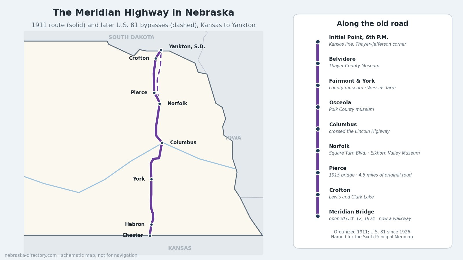
Two years before the Lincoln Highway, good-roads boosters in Kansas and Nebraska set out to mark a north–south auto route through the middle of the continent, from Winnipeg to the Gulf of Mexico. They called it the Meridian Road, after the Sixth Principal Meridian, the survey line that runs north through Nebraska and governs every land survey in the state. Across Nebraska it linked more than twenty towns from Chester to Crofton, and when the Meridian Bridge opened at Yankton in 1924 it finally crossed the Missouri River. In 1926 it became U.S. 81, though the old road and today's highway part ways in a few places.
Highway at a Glance
- Founded: the Meridian Road was organized in Kansas in 1911, led by John C. Nicholson of Newton, Kansas. The Nebraska Meridian Road Association formed at Columbus that September, and the International Meridian Road Association followed in January 1912. It later became the Meridian Highway.
- Named for: the Sixth Principal Meridian, longitude 97° 22′ 08″ west. Its Initial Point is on the Kansas line where Thayer and Jefferson counties meet, about a mile northwest of Mahaska, Kansas.
- In Nebraska: more than 200 miles through Thayer, Fillmore, York, Polk, Platte, Madison, Pierce, Knox and Cedar counties. Today's U.S. 81 runs about 217 miles from Chester to the Missouri River at Yankton.
- Became: a Nebraska state highway in 1922 and U.S. 81 in 1926. Boosters called it "the Main Street of North America."
The Route, South to North
The old road entered Nebraska at Chester and ran north through Hebron, Belvidere, Bruning, Strang, Geneva, Fairmont and McCool Junction to York. From there it went through Stromsburg, Osceola and Shelby to Columbus, where it crossed the Lincoln Highway. North of Columbus it passed Platte Center, Humphrey and Madison to Norfolk, where it came in on 13th Street, followed Norfolk Avenue and turned north on Square Turn Boulevard. Beyond Norfolk it ran through Hadar, Pierce, Wausa and Crofton to the Missouri.
Today's U.S. 81 follows much of the same line but bypasses several of those towns. Belvidere, Strang and Stromsburg are now off the main road, and in 1939 the highway was moved east of the Pierce County towns, over the objections of the U.S. Highway 81 association. North of Norfolk, U.S. 81 now runs past Hadar, crosses U.S. 20 near McLean, passes west of Hartington and crosses the river on the Discovery Bridge, which replaced the Meridian Bridge in 2008.
History Along the Road
Marking the way
In Nebraska the road was marked with metal signs shaped like the state, white "Meridian Road" letters on blue. Along the whole route, telephone poles carried a 12-inch white band where the road went straight, and red-and-white bands lettered "M.R." on the three poles before and after each turn. Boosters sold promotional stamps, shot a promotional film in Norfolk, and in 1912 sent an official tour south to the Gulf. In 1928 only 19 miles of the Nebraska route were still dirt.
The Meridian Bridge
Until 1924 travelers crossed the Missouri at Yankton by ferry or pontoon bridge. Local businessmen formed the Meridian Bridge Company and built a double-deck bridge with a lift span that rose so riverboats could pass, the only vertical-lift span in Nebraska or South Dakota. It opened on October 12, 1924. Cars used the upper deck and trains were meant to use the lower one; the railroad was never built, so each deck later carried one direction of traffic. Yankton bought the bridge in 1946 and removed the tolls in 1953. After the Discovery Bridge opened next to it in 2008, the Meridian Bridge was rebuilt as a walking and biking bridge, reopening in 2011 between Riverside Park in Yankton and trails on the Nebraska side. It has been on the National Register since 1993.
The road that was left behind
When U.S. 81 moved east in 1939, about 4.5 miles of the original road southeast of Pierce were left on gravel county roads, with a 1915 steel truss bridge, a girder bridge and concrete culverts dated 1920. That stretch, the Meridian Highway Historic Segment, was listed on the National Register in 2001, and a state historical marker stands at its south end.
Places to Visit, South to North
- Thayer County Museum — 110 N. 9th St., Belvidere; 402-768-2147. Ten buildings on 8 acres; Sundays and Wednesdays 2–4 p.m. or by appointment.
- Fillmore County Museum — 600 6th Ave., Fairmont. June–September, Wednesdays 2–4 p.m. or by appointment; donations.
- Wessels Living History Farm — 5520 S. Lincoln Ave., York, on U.S. 81 a mile south of I-80; 402-710-0682. A 1920s farm on 145 acres; by appointment for the 2026 season.
- Polk County Historical Museum — 415 Beebe St., Osceola; 402-747-3411. Sundays 2–4 p.m., Memorial Day to Labor Day.
- Platte County History Museum — 2916 16th St., Columbus; 402-564-1856.
- Elkhorn Valley Museum — 515 Queen City Blvd., Norfolk; 402-371-3886. Its Square Turn tractor, built in Norfolk, explains the name of the old highway's Square Turn Boulevard.
- Meridian Highway Historic Segment and Marker — Highway 13 and 552nd Avenue, about 4 miles southeast of Pierce.
- Lewis and Clark State Recreation Area — on Lewis and Clark Lake near Crofton, by Gavins Point Dam. See the Lewis and Clark Trail.
- Meridian Bridge — walk or bike from the Nebraska side to Riverside Park in Yankton, South Dakota.
Driving It Today
U.S. 81 is the easy way to follow the Meridian Highway, crossing U.S. 136 at Hebron, U.S. 6 at Fairmont, Interstate 80 at York, U.S. 30 at Columbus and U.S. 20 near McLean. To see the old road, detour through Belvidere, Strang and Stromsburg, follow the gravel segment southeast of Pierce, and drive through Wausa and Crofton before crossing to Yankton. The US Highway 81 corridor page has more on each county along the way.
Highway Cameras
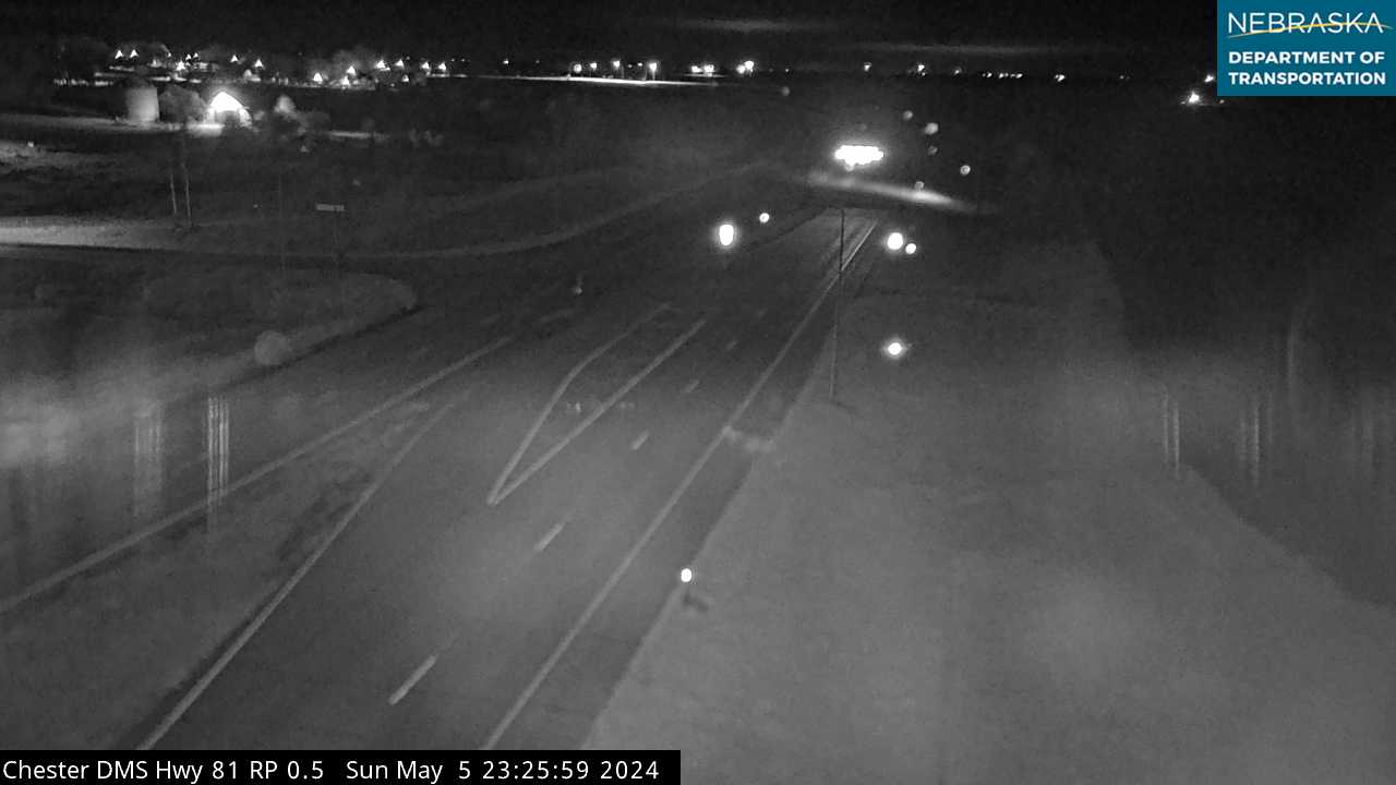
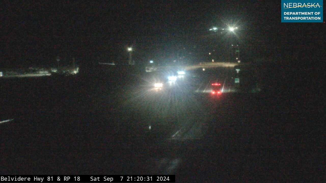
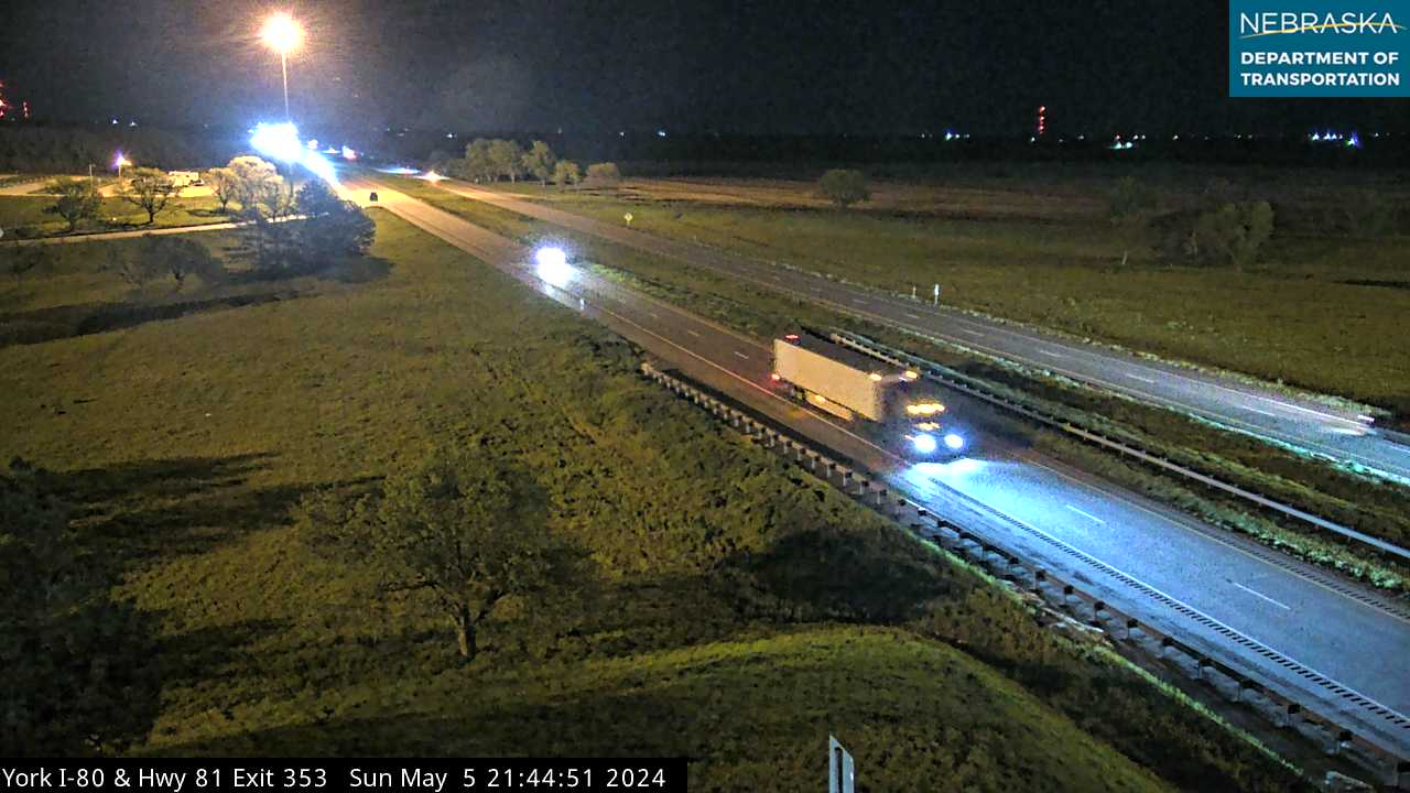
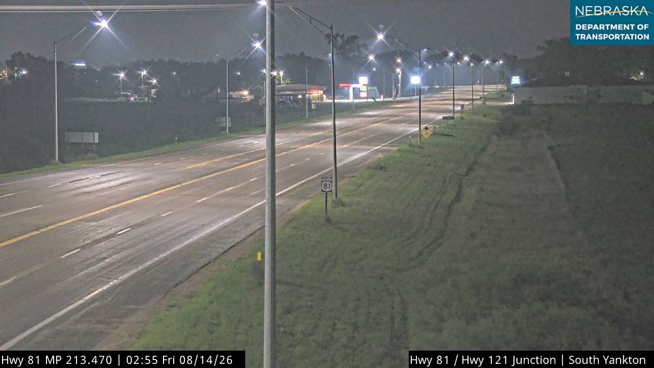
Live images from Nebraska 511 cameras on U.S. 81, south to north. Click a picture for the full-size view. For every camera in the state, see Nebraska Cameras.
Related Trails and Corridors
- Lincoln Highway — the east–west auto trail it crossed at Columbus
- Lewis and Clark National Historic Trail — on the Missouri at its northern end
- US Highway 81, US Highway 30, US Highway 20 and Interstate 80
- ← All Nebraska Trails