
American Discovery Trail in Nebraska: Coast to Coast Across the Plains
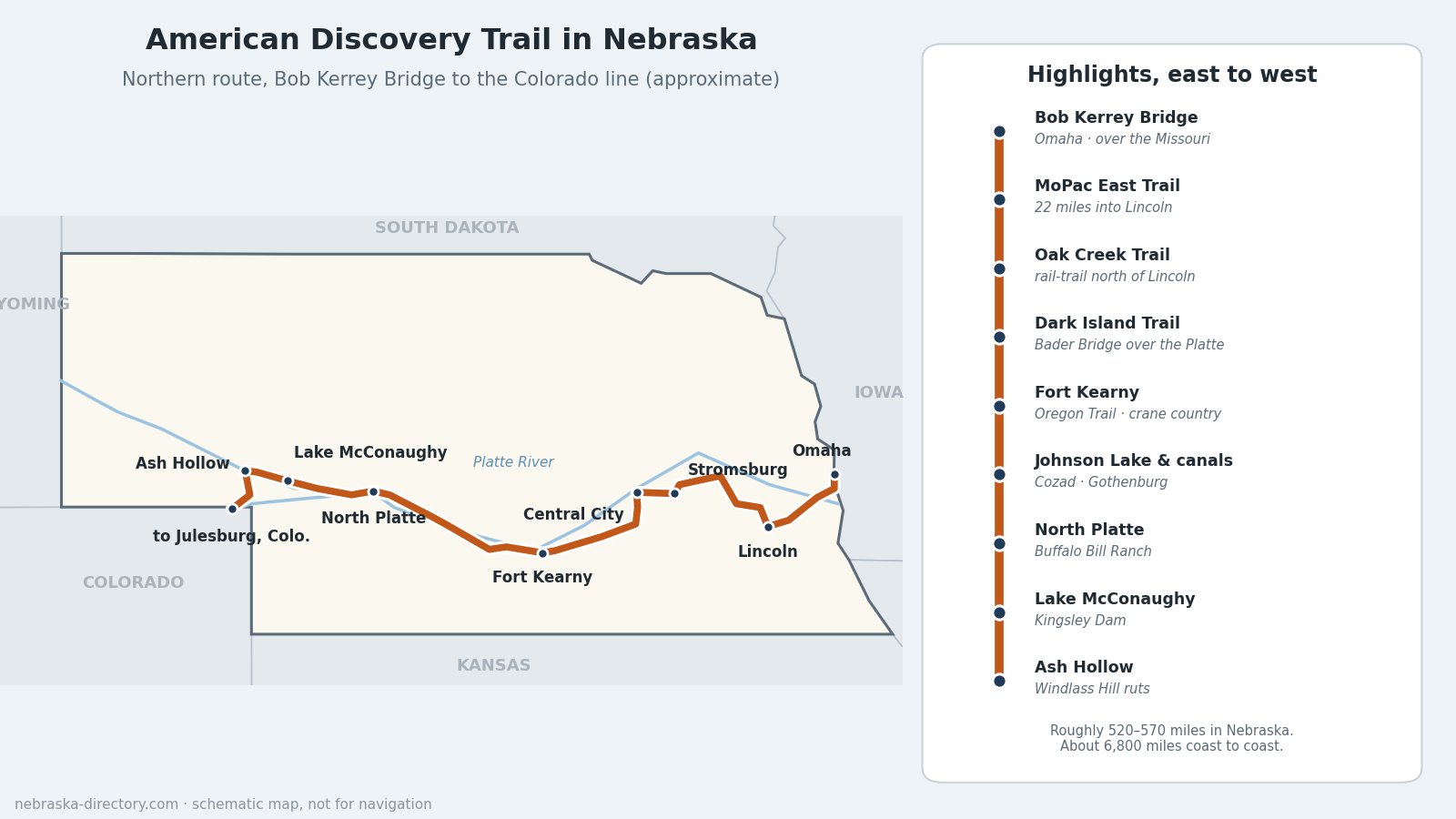
The American Discovery Trail is the only coast-to-coast, non-motorized trail in the United States, about 6,800 miles counting both of its middle routes, from Cape Henlopen State Park on the Delaware shore to Point Reyes National Seashore in California. Its northern route crosses Nebraska from the Bob Kerrey Pedestrian Bridge in Omaha to the Colorado line near Julesburg, using city trails, rail-trails, gravel county roads and irrigation canal roads. For much of the way it follows the Platte valley and the old emigrant trails, so a hiker or cyclist on the ADT sees Nebraska at the pace the wagon trains did.
Trail at a Glance
- The idea: proposed in 1989 by the American Hiking Society and Backpacker magazine; a scouting team set out from California in June 1990 to work out the route, and the American Discovery Trail Society was founded in 1996. It was named a National Millennium Trail in 2000.
- Routes: the trail splits at Cincinnati and rejoins at Denver. Nebraska is on the northern route, with Ohio, Indiana, Illinois, Iowa and northeastern Colorado.
- In Nebraska: roughly 520 to 570 miles, depending on the alignment. The ADT Society's segment list adds up to 516 miles; newer route guides measure about 568.
- Status: run by volunteers and the nonprofit American Discovery Trail Society, not a federal agency. Bills to make it a "national discovery trail" have passed the U.S. Senate but have not become law, so it is not part of the National Trails System.
- Who can use it: hikers and bicyclists, and horseback riders where local rules allow. Some canal and maintenance roads are open only to foot traffic.
The Route, East to West
Omaha to Lincoln (about 100 miles)
The trail comes over the Missouri from Council Bluffs on the Bob Kerrey Pedestrian Bridge into Omaha. From there it follows Omaha-area trails south and west, through Bellevue and along the Papillion Creek trails, then a trail beside Highway 50 toward Wabash and the MoPac East Trail, a 22-mile crushed-limestone rail-trail run by the Lower Platte South Natural Resources District, into Lincoln. Some route guides instead cross the Platte on the Lied Platte River Bridge near Springfield and enter Omaha past Zorinsky Lake and Boys Town.
Lincoln to Stromsburg and the Platte (about 135 miles)
North of Lincoln the trail passes Branched Oak State Recreation Area and follows the Oak Creek Trail, a 12-mile rail-trail and National Recreation Trail from Valparaiso toward Brainard, then county roads through David City, Shelby, Osceola and Stromsburg. It reaches the Platte at Central City on the Dark Island Trail, an 8-mile rail-trail that crosses the river on the 1880s Bader Bridge to Marquette, and continues past Aurora and Stuhr Museum in Grand Island to Doniphan.
Along the Platte to North Platte (about 200 miles)
From Doniphan and Mormon Island State Recreation Area, dirt roads south of the Platte lead to Fort Kearny State Historical Park, on the Oregon Trail. In spring this stretch runs through the heart of the sandhill crane migration. West of Kearney the route passes Sandy Channel State Recreation Area near Elm Creek and Johnson Lake State Recreation Area, then follows irrigation canal service roads past Gallagher Canyon, Cozad, Gothenburg, Brady and Maxwell to North Platte and Buffalo Bill Ranch State Historical Park.
North Platte to Colorado (about 135 miles)
West of North Platte the route follows the Sutherland Canal past Lake Maloney, Hershey and Sutherland, including an 18.5-mile stretch with no services, to Kingsley Dam and Lake McConaughy, Nebraska's largest lake. It then crosses to the North Platte valley at Ash Hollow State Historical Park near Lewellen, where Oregon Trail ruts climb Windlass Hill, and turns south through Big Springs to the Colorado line near Julesburg, about 3,450 feet above sea level, 2,500 feet higher than where it crossed the Missouri.
Planning a Trip
- Surfaces: city trails, crushed-limestone rail-trails, paved and gravel county roads, and more than 130 miles of irrigation canal service roads.
- Services: Omaha, Lincoln, Grand Island, Kearney and North Platte are full-service. Between them, towns can be small, sometimes just a convenience store, a bar and a post office, so plan water and food carefully.
- Camping: state recreation areas along the way, small-town parks such as Buckley Park in Stromsburg, and Bader Park near the Dark Island Trail. Park entry permits are required at state parks and recreation areas.
- Season: late spring and early fall are best. Mid-March to early April adds the sandhill cranes. Summer brings heat, humidity and fast-building thunderstorms with little shelter, and the prevailing west wind favors eastbound travelers.
- Maps: the American Discovery Trail Society sells state turn-by-turn directions and GPS files at discoverytrail.org; it no longer prints maps. The Society's toll-free number is 800-663-2387.
- The 2026 relay: for America's 250th birthday and the trail's 35th, an ADT relay crossed the country in the summer of 2026, entering Nebraska from Julesburg, Colorado, on July 14 and finishing its Nebraska legs at Omaha's Democracy Park on July 24.
Trail Cameras
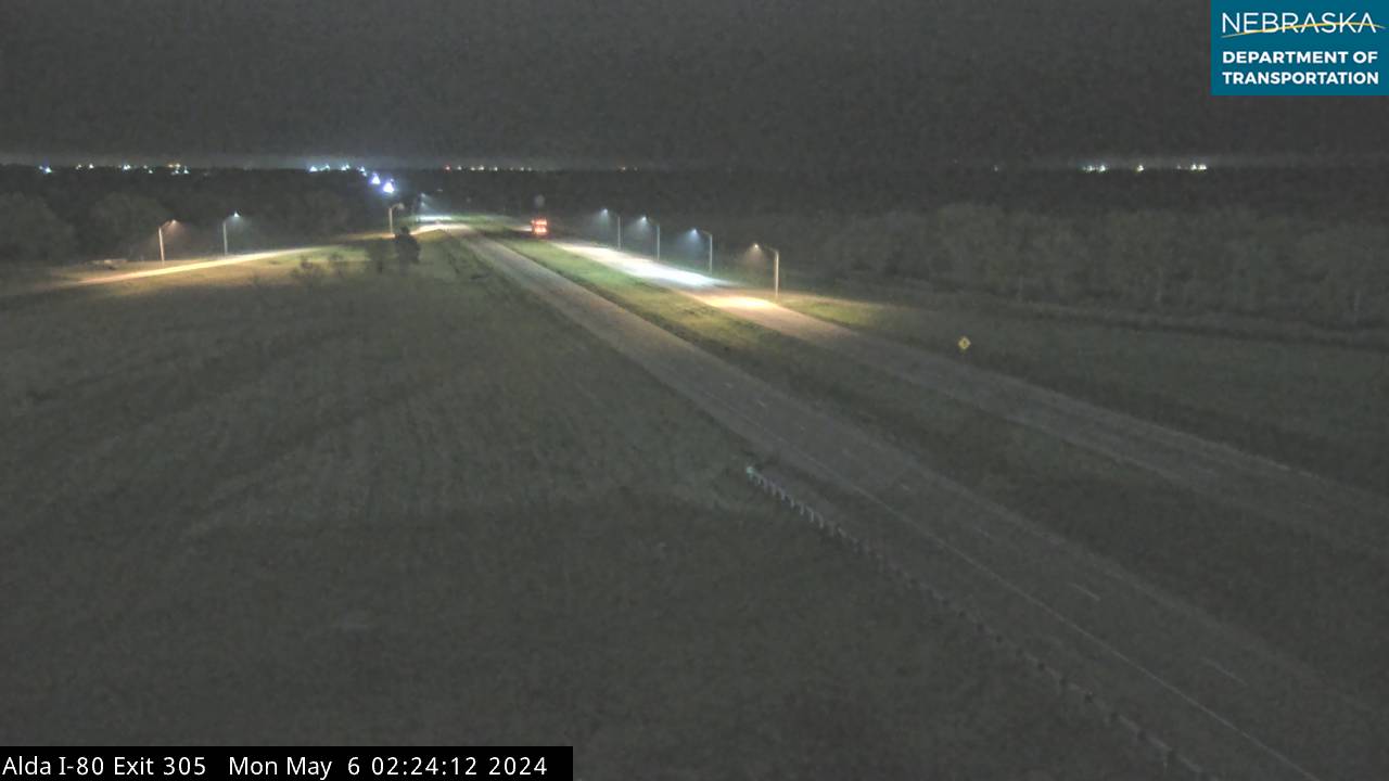
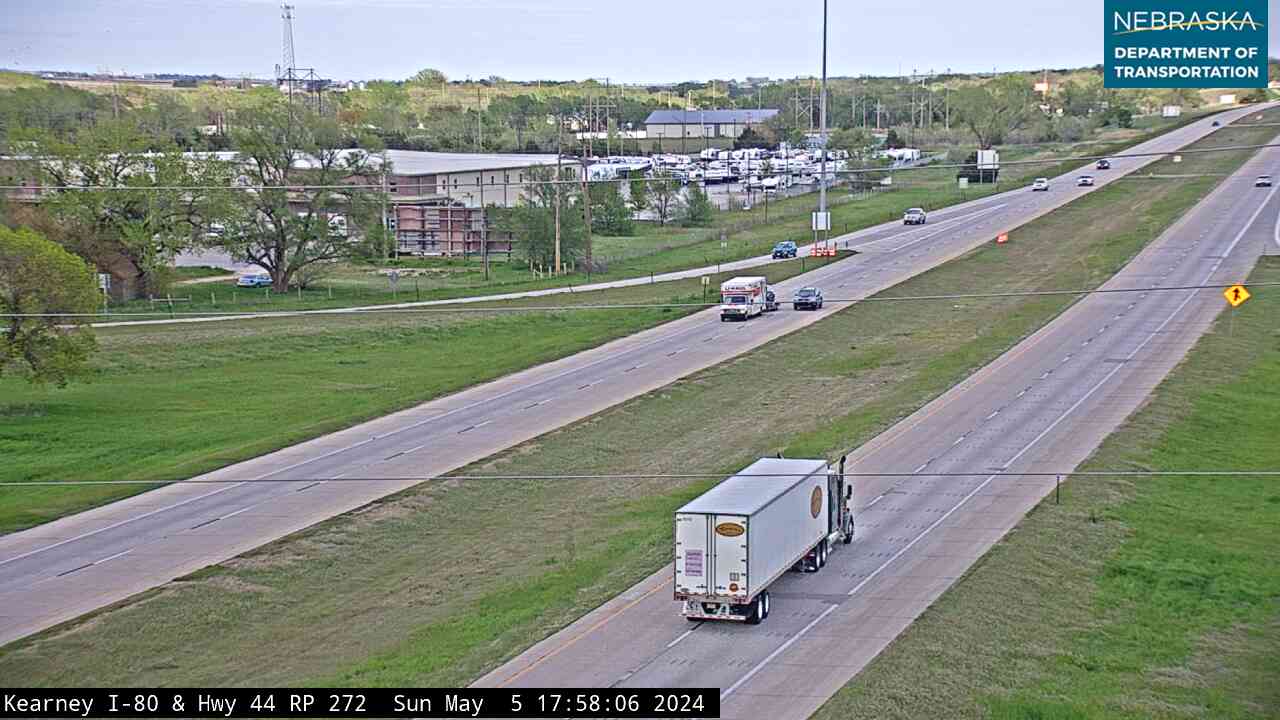
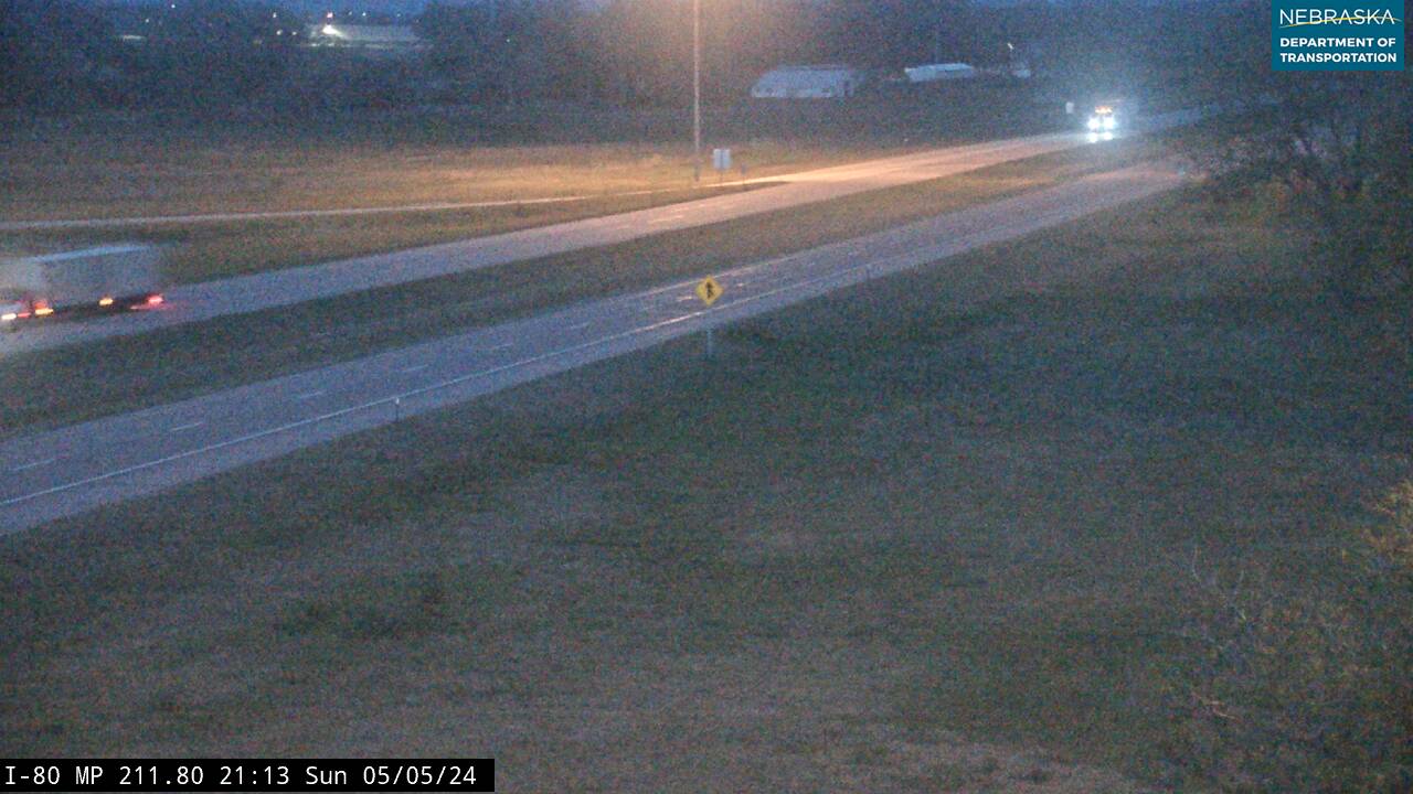
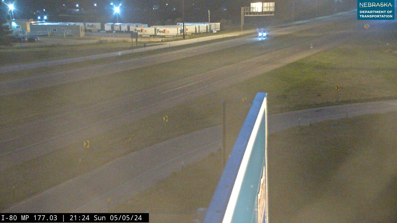
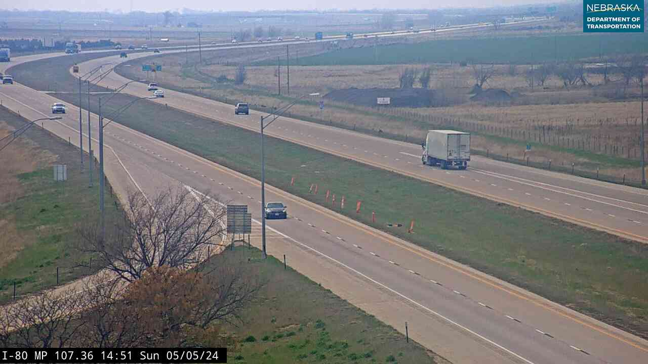
Live images from Nebraska 511 cameras near the American Discovery Trail, east to west. Click a picture for the full-size view. For every camera in the state, see Nebraska Cameras.

Related Trails
- Great Platte River Road — the Platte valley corridor the ADT follows for much of Nebraska
- Oregon National Historic Trail and Mormon Pioneer National Historic Trail
- Oak Creek Trail — part of the ADT north of Lincoln
- Great American Rail-Trail — another cross-country route through Nebraska
- ← All Nebraska Trails