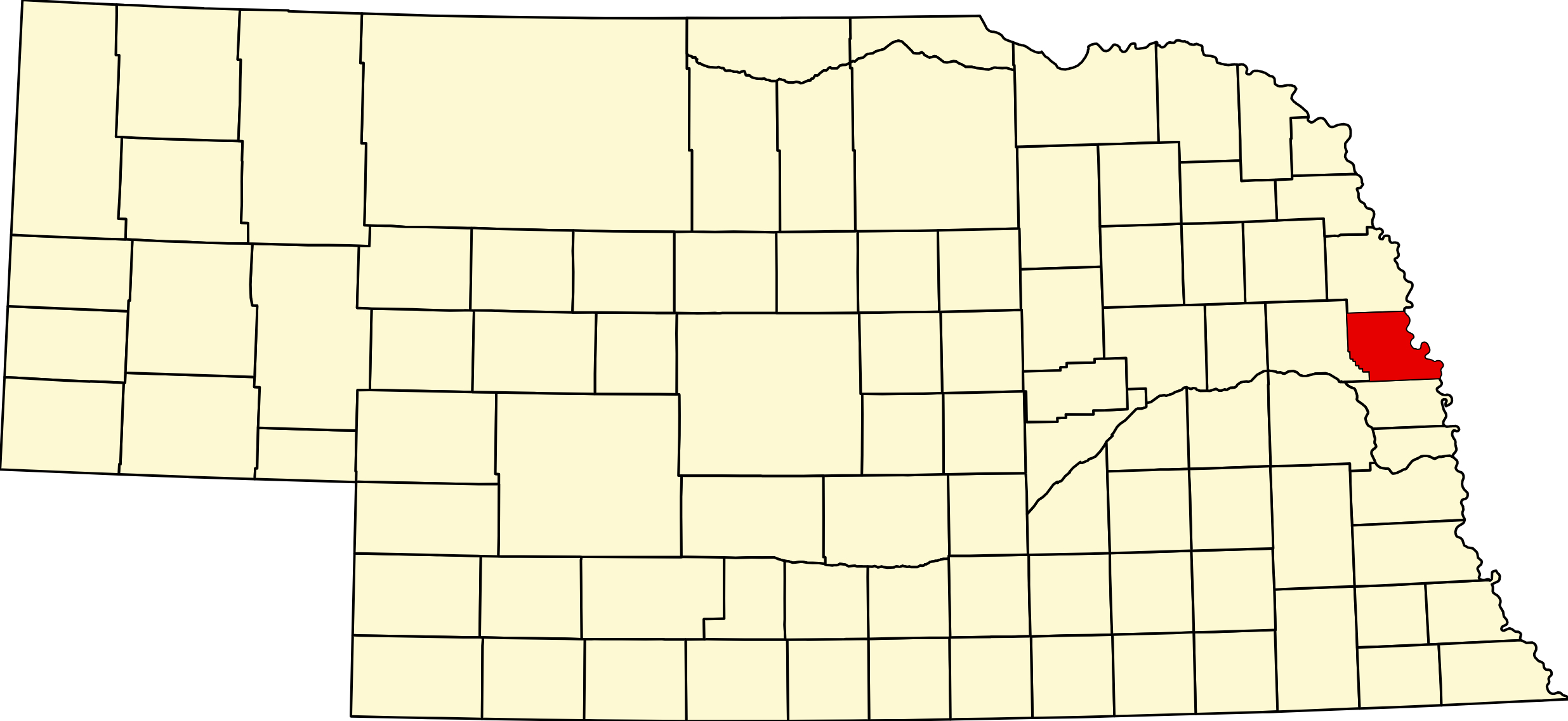
Washington County, Nebraska (Plate 29)

Visitor & Travel Categories
Business & Economic Categories
Washington County, Nebraska
County Seat: Blair
Founded: 1854
Named For: George Washington
License Plate Prefix: 29
Population: 21,582 (2020 census)
Area: 393 sq mi
History
Washington County was established in 1854 as one of Nebraska’s original counties and named after George Washington. Early settlement centered on the Missouri River, where Fort Atkinson—America’s first military post west of the Mississippi—played a major role in frontier history. Blair, founded in 1869 along the expanding railroad network, became the county seat and grew into a regional hub for commerce, education, and transportation. Arlington, Fort Calhoun, and Herman developed as agricultural and community centers with strong pioneer heritage.
The county’s history reflects river‑valley development, military significance, and the growth of small towns that supported farming, trade, and early territorial expansion.
Geography
Location: Eastern Nebraska along the Missouri River
Landscape: River bluffs, fertile bottomlands, rolling prairie, and rural farmland
Adjacent Counties:
- Burt County (north)
- Dodge County (west)
- Douglas County (south)
- Pottawattamie County, Iowa (east, across the Missouri River)
Culture & Landmarks
- Fort Atkinson State Historical Park – A major frontier military site with reenactments and interpretive exhibits.
- Blair Historic District – Architecture and landmarks reflecting 19th‑century development.
- Missouri River Bluffs – Scenic landscapes with wildlife, trails, and historic significance.
Notable Communities
- Blair – County seat and regional commercial center.
- Fort Calhoun – Home to Fort Atkinson and strong pioneer heritage.
- Arlington – Community with strong agricultural roots.
- Herman, Kennard – Small towns with deep rural traditions.
Events & Attractions
- Fort Atkinson Living History Weekends – Reenactments and demonstrations of frontier life.
- Washington County Fair – Livestock shows, rodeo events, and community celebrations.
- Outdoor Recreation – Fishing, hiking, and scenic drives along the Missouri River bluffs.
Living in Washington County
Washington County blends river‑valley scenery, pioneer heritage, and small‑town life. Blair provides major services and regional commerce, while Arlington, Fort Calhoun, and rural areas maintain long‑standing farming traditions. Residents value the area’s natural beauty, history, and strong community identity.
Washington County at a Glance
Washington County, Nebraska — authorised in 1854 as one of the eight original counties and organised in 1855, named for George Washington, pointedly so: the Territorial Legislature fixed its first boundaries on 22 February 1855, Washington’s birthday. The county seat moved twice — Fort Calhoun first, then DeSoto, then Blair, chosen by popular vote in 1869 and the seat ever since. Blair was platted that same year when the railroad arrived and is named for the magnate John Insley Blair, who brought the line. DeSoto is now an unincorporated place — a county seat that became a ghost town, its name surviving on the national wildlife refuge. 101 listings across 6 towns.
Getting there: US-75 runs north and south through Blair and Fort Calhoun, US-30 east and west, with Highway 91 and NE-133 also crossing. The Lincoln Highway ran through Blair. Central Time.
This is where Lewis and Clark held their first council. On 3 August 1804 the expedition met Oto and Missouria leaders on the west bank near present-day Fort Calhoun, at the place they named Council Bluff. Fort Atkinson was built on that spot in 1819 — the first United States Army post west of the Missouri River — and operated until 1827. Briefly it was Nebraska’s first settlement of more than a thousand people, thirty years before Nebraska Territory existed. It is a National Historic Landmark and is preserved today as Fort Atkinson State Historical Park.
For visitors: Fort Atkinson, and the two national wildlife refuges — DeSoto and Boyer Chute, both of which are in this county, whatever nearby pages may say. DeSoto holds the Bertrand, a sternwheel steamboat that sank in 1865 and was found on refuge ground in 1968; excavation recovered more than 500,000 items, one of the great intact time capsules of the Missouri River trade. Note that the DeSoto visitor centre is on the Iowa side at Missouri Valley, even though 54 percent of the refuge acreage is in Nebraska.
A two-phase county. Population peaked at 13,086 in 1900, sagged for half a century to a trough of 11,511 in 1950, and has climbed ever since to an all-time high of 20,865 at the 2020 census, about 21,100 today — a nineteenth-century farm county that became a northern edge of the Omaha metro. Fontanelle was platted in 1855 specifically to become the state capital; the plan collapsed and the capital went to Lincoln. The Fort Calhoun Nuclear Generating Station, at 478 megawatts the smallest active nuclear plant in the United States when it closed on 24 October 2016, is in decommissioning.
Born here: Otto Diller Schmidt, Medal of Honor recipient, born at Blair in 1884 and decorated for heroism during the boiler explosion aboard USS Bennington in 1905; and Floyd Zaiger, born at Kennard in 1926, the most prolific stone-fruit breeder of the modern era and the man who created the pluot and the aprium, with 446 patented varieties to his name. Senator Paul Simon appears on local lists but was born in Eugene, Oregon — he attended Dana College in Blair without graduating.
Washington County · Metro · Highway 75 Corridor · Explore Nebraska