The Great Platte River Road: Nebraska's Corridor West
For more than two hundred years, almost everyone crossing the middle of the continent has come through the Platte River valley. Fur traders followed it, then the emigrant wagons of the Oregon, California and Mormon trails, then the Pony Express, the telegraph, the Union Pacific Railroad, the Lincoln Highway, U.S. 30 and Interstate 80. Historian Merrill J. Mattes gave the old wagon road its name, the Great Platte River Road, and called it the main line of America's westward expansion. This page ties those layers together and points to the places where you can still see them.
Why the Platte?
The Platte valley is a natural highway: 5 to 7 miles wide, nearly level, with water and grass for the animals. One emigrant called it "level and smooth as a plank floor." Its gentle grade climbs steadily toward the Rockies, and its forks at North Platte point the way west along the North Platte to Wyoming and southwest along the South Platte to Colorado. Trees were scarce, so travelers burned buffalo chips, and the river itself was nearly useless for boats; fur traders who tried it in 1840 ran onto sandbars every few minutes. "Platte" is French for flat, and the Otoe name for the river, meaning flat water, gave Nebraska its name. Humorist Bill Nye was already joking in 1889 that the Platte was a mile wide and three-quarters of an inch deep.
The Name
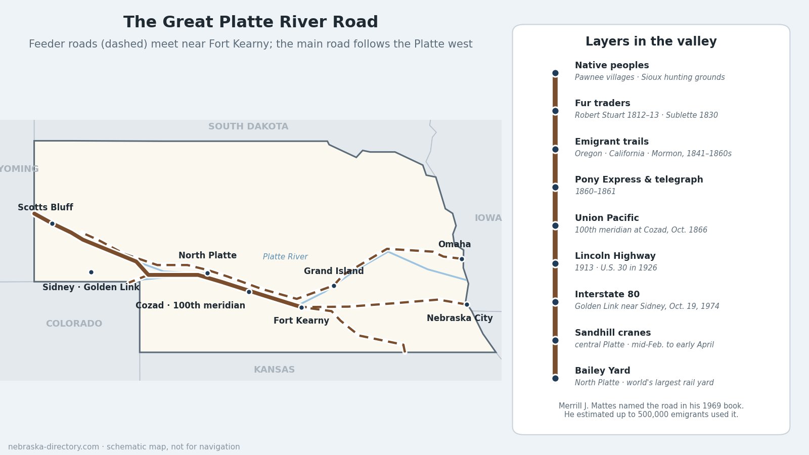
Merrill J. Mattes (1910–1996) began his National Park Service career at Scotts Bluff National Monument in 1935 and spent his life studying the overland trails. His book The Great Platte River Road: The Covered Wagon Mainline via Fort Kearny to Fort Laramie, published by the Nebraska State Historical Society in 1969, won awards from the National Cowboy Hall of Fame and the American Association for State and Local History. Mattes described the feeder roads from five Missouri River towns coming together near Fort Kearny and running as one great road, on both banks of the river, to Fort Laramie in Wyoming. He first estimated that 350,000 emigrants used it between 1841 and 1866, and later raised that to about 500,000. He also helped found the Oregon-California Trails Association.
Layers in the Valley
- Native peoples: the Pawnee lived in earthlodge villages along the Platte and its tributaries, and Sioux bands hunted and raided in the valley. Emigrants used up the wood and grass the tribes depended on. The Pawnee were removed to Indian Territory in 1874–75.
- Fur traders and explorers: Robert Stuart's party came east down the Platte from Astoria in 1812–13, Major Stephen Long's expedition went up it in 1820, and in 1830 William Sublette took the first wagons up the Platte to the Rocky Mountains.
- The emigrant trails, 1841 to the late 1860s: the Oregon Trail and California Trail on the south bank and the Mormon Pioneer Trail on the north bank.
- Pony Express and telegraph, 1860–61: the Pony Express ran up the same road until the transcontinental telegraph, finished in October 1861, made it obsolete.
- Union Pacific Railroad, 1865–69: track-laying started at Omaha in July 1865, reached the 100th meridian at Cozad in October 1866 and North Platte the same year, and was joined to the Central Pacific at Promontory, Utah, on May 10, 1869. Today Union Pacific's Bailey Yard at North Platte is the world's largest rail classification yard, 8 miles long, handling roughly 10,000 to 14,000 cars a day.
- Lincoln Highway, 1913: the best-known of the early coast-to-coast auto roads followed the Platte valley for about 450 miles across Nebraska; Grand Island finished one of its first concrete "seedling miles" in 1915. It became U.S. 30 in 1926. See the Lincoln Highway page.
- Interstate 80, 1974: Nebraska became the first state to finish its mainline interstate when the last link of Interstate 80 was dedicated near Sidney on October 19, 1974. The Golden Link marker stands at the eastbound rest area near mile 52.
The River Today
From mid-February to early April, the central Platte between Kearney and Grand Island hosts one of the great wildlife spectacles in North America. Game and Parks puts the number of sandhill cranes that stage here at about a million over the season; aerial counts at the peak in late March have topped 700,000 in recent years. The cranes roost on the river's sandbars at night and feed in the cornfields by day. Endangered whooping cranes use the same stretch, and in November 2023 up to 95 were seen near Alda, the largest group recorded in the country outside their Texas wintering grounds.
The river has changed. Reservoirs and irrigation have removed or retimed about 70 percent of the Platte's original flow, narrowing the channel and letting trees take over sandbars the cranes need. Since 2007, Nebraska, Colorado, Wyoming and the federal government have worked together in the Platte River Recovery Implementation Program to restore habitat for the whooping crane, piping plover, least tern and pallid sturgeon.
Places to Visit, East to West
- Crane Trust Nature & Visitor Center — 9325 S. Alda Rd., Wood River; 308-382-1820. Free visitor center and trails on nearly 10,000 acres of protected habitat; riverside blind tours in March.
- Alda Crane Viewing Deck — 2 miles south of I-80 exit 305. Free, open year-round.
- Richard Plautz Crane Viewing Deck — 1.5 miles south of I-80 exit 285, Gibbon. Free, open year-round.
- Rowe Sanctuary (Iain Nicolson Audubon Center) — 44450 Elm Island Rd., Gibbon; 308-468-5282. Crane-season viewing blinds; reserve ahead.
- Fort Kearny State Historical Park — 1020 V Rd., Kearney; 308-865-5305. The 1848 fort where the feeder trails met, and the Fort Kearny Hike-Bike Trail over the river.
- The Great Platte River Road Archway — 3060 E. 1st St., Kearney (I-80 exit 275); 308-237-1000. Opened June 9, 2000, spanning about 310 feet across Interstate 80, with exhibits on the trails, the Pony Express, the railroad and the Lincoln Highway. Monday–Saturday 9–5, Sunday noon–5; admission charged.
- 100th Meridian Marker — U.S. 30 and N. Meridian Ave., Cozad.
- Buffalo Bill Ranch State Historical Park — 2921 Scouts Rest Ranch Rd., North Platte; 308-535-8035. Buffalo Bill Cody's 1886 home.
- Golden Spike Tower — 1249 N. Homestead Rd., North Platte; 308-532-9920. Eight stories above Bailey Yard.
- O'Fallon's Bluff — Interstate 80 eastbound rest area near Sutherland. Wagon ruts marked with iron wheel hoops.
- Ash Hollow State Historical Park — 4265 U.S. 26, Lewellen; 308-778-5651.
- Chimney Rock National Historic Site — 9822 County Rd. 75, Bayard; 308-586-2581.
- Scotts Bluff National Monument — 190276 Old Oregon Trail, Gering; 308-436-9700. Where Mattes began his career.
Driving the Corridor
Interstate 80 and U.S. 30 follow the Platte from Grand Island to North Platte, with the Union Pacific main line beside them the whole way. U.S. 30 runs through the old Lincoln Highway towns, Wood River, Gibbon, Kearney, Elm Creek, Overton, Lexington, Cozad, Gothenburg and Brady, and is the slower, more rewarding drive. West of North Platte, I-80 and U.S. 30 follow the South Platte toward Colorado, while U.S. 26 and Highway 92 follow the North Platte to the Panhandle landmarks.
Corridor Cameras
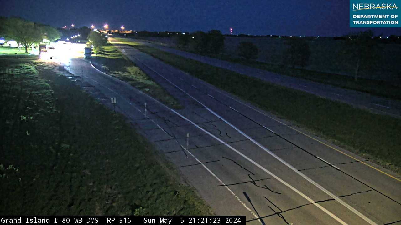
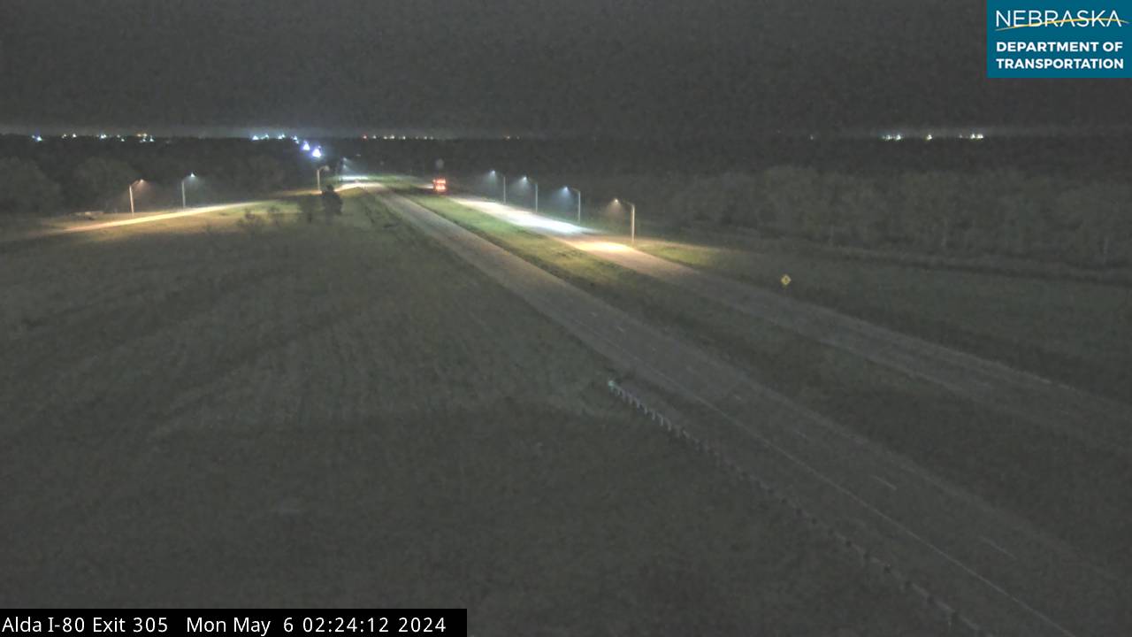
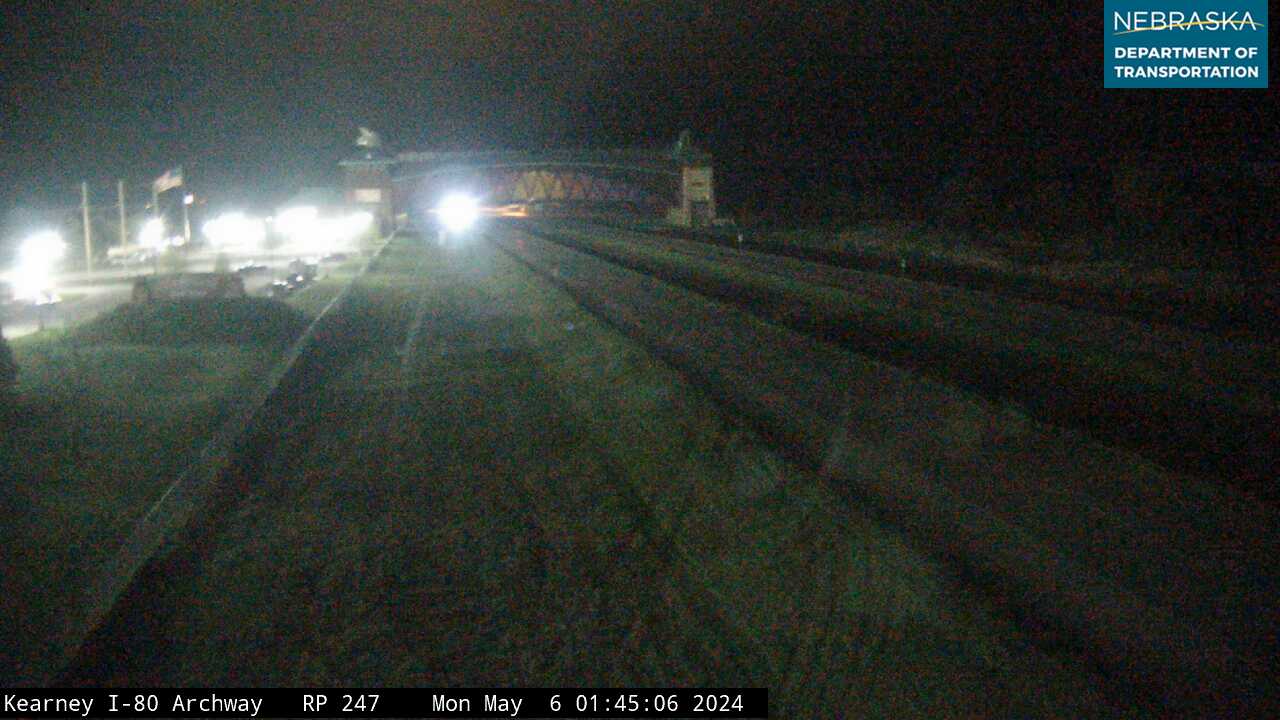
Live images from Nebraska 511 cameras along the Great Platte River Road, east to west. Click a picture for the full-size view. For every camera in the state, see Nebraska Cameras.