
O’Neill Nebraska 68763 (US-20 MM 309 / US-275 / US-281)

Visitor & Travel Categories
Business & Economic Categories
Find O'Neill Listings by Category
Visitor & Travel Categories
Business & Economic Categories
- Adams County (231)
- Antelope County (455)
- Arthur County (24)
- Arthur (23)
- Banner County (35)
- Harrisburg (33)
- Blaine County (25)
- Boone County (94)
- Albion (50)
- Cedar Rapids (12)
- Cornlea (1)
- Petersburg (12)
- Primrose (3)
- Raeville (1)
- St. Edward (11)
- Box Butte County (145)
- Alliance (99)
- Hemingford (41)
- Letan (2)
- Boyd County (172)
- Brown County (137)
- Buffalo County (515)
- Burt County (89)
- Butler County (159)
- Cass County (469)
- Alvo (13)
- Avoca (13)
- Cedar Creek (4)
- Eagle (38)
- Elmwood (30)
- Greenwood (21)
- Louisville (63)
- Manley (6)
- Murdock (27)
- Murray (20)
- Nehawka (13)
- Plattsmouth (130)
- South Bend (5)
- Union (19)
- Wabash (1)
- Weeping Water (63)
- Cedar County (240)
- Aten (1)
- Belden (6)
- Bow Valley (1)
- Coleridge (27)
- Constance (1)
- Fordyce (9)
- Hartington (88)
- Laurel (43)
- Magnet (5)
- Menominee (1)
- Obert (6)
- Randolph (26)
- Saint Helena (9)
- Saint James (1)
- Wynot (11)
- Chase County (98)
- Cherry County (150)
- Cheyenne County (131)
- Clay County (160)
- Clay Center (26)
- Deweese (1)
- Edgar (29)
- Fairfield (8)
- Glenvil (18)
- Harvard (21)
- Ong (3)
- Saronville (3)
- Sutton (48)
- Trumbull (2)
- Clay County SD (5)
- Vermillion (5)
- Colfax County (94)
- Cuming County (113)
- Custer County (250)
- Dakota County (143)
- Dakota City (30)
- Emerson (12)
- Homer (13)
- Hubbard (11)
- Jackson (8)
- Nacora (2)
- South Sioux City (64)
- Dawes County (225)
- Dawson County (317)
- Deuel County (112)
- Big Springs (36)
- Chappell (75)
- Dixon County (116)
- Dodge County (411)
- Douglas County (1266)
- Dundy County (71)
- Fillmore County (125)
- Franklin County (107)
- Frontier County (78)
- Curtis (34)
- Eustis (15)
- Maywood (9)
- Moorefield (3)
- Stockville (15)
- Furnas County (151)
- Arapahoe (32)
- Beaver City (28)
- Cambridge (66)
- Edison (3)
- Hendley (5)
- Holbrook (3)
- Oxford (7)
- Wilsonville (6)
- Gage County (222)
- Garden County (140)
- Garfield County (101)
- Burwell (99)
- Gosper County (54)
- Elwood (44)
- Smithfield (6)
- Grant County (51)
- Greeley County (117)
- Hall County (343)
- Alda (9)
- Cairo (14)
- Doniphan (14)
- Grand Island (237)
- Wood River (64)
- Hamilton County (101)
- Harlan County (94)
- Hayes County (50)
- Hamlet (2)
- Hayes Center (44)
- Palisade (2)
- Hitchcock County (83)
- Culbertson (10)
- Palisade (10)
- Stratton (28)
- Trenton (34)
- Holt County (1006)
- Hooker County (50)
- Mullen (50)
- Howard County (224)
- Boelus (18)
- Cotesfield (2)
- Cushing (2)
- Dannebrog (25)
- Elba (8)
- Farwell (11)
- St. Libory (4)
- St. Paul (141)
- Jefferson County (134)
- Johnson County (78)
- Cook (4)
- Crab Orchard (3)
- Elk Creek (4)
- Sterling (13)
- Tecumseh (53)
- Kearney County (98)
- Keith County (100)
- Keya Paha County (86)
- Kimball County (213)
- Knox County (496)
- Bazile Mills (5)
- Bloomfield (71)
- Center (31)
- Creighton (92)
- Crofton (71)
- Dukesville (1)
- Knoxville (1)
- Lindy (5)
- Niobrara (65)
- Pishelville (1)
- Santee (21)
- Venus (3)
- Verdel (5)
- Verdigre (54)
- Walnut (1)
- Wausa (48)
- Winnetoon (15)
- Lancaster County (748)
- Lincoln County (394)
- Brady (18)
- Dickens (4)
- Hershey (13)
- Maxwell (15)
- North Platte (295)
- Sutherland (19)
- Wallace (19)
- Wellfleet (6)
- Logan County (63)
- Loup County (50)
- Madison County (412)
- Battle Creek (31)
- Madison (36)
- Meadow Grove (18)
- Newman Grove (17)
- Norfolk (304)
- Tilden (3)
- McPherson County (22)
- Tryon (22)
- Merrick County (84)
- Central City (46)
- Chapman (7)
- Clarks (8)
- Palmer (13)
- Silver Creek (6)
- Morrill County (112)
- Bayard (53)
- Bridgeport (47)
- Broadwater (7)
- Nance County (52)
- Nemaha County (109)
- Nuckolls County (85)
- Otoe County (350)
- Pawnee County (91)
- Burchard (6)
- Du Bois (6)
- Lewiston (2)
- Pawnee City (55)
- Steinauer (4)
- Table Rock (11)
- Perkins County (123)
- Phelps County (98)
- Pierce County (193)
- Platte County (235)
- Polk County (185)
- Osceola (42)
- Polk (37)
- Shelby (39)
- Stromsburg (61)
- Pottawattamie County (10)
- Council Bluffs (10)
- Red Willow County (130)
- Richardson County (171)
- Rock County (89)
- Saline County (165)
- Sarpy County (326)
- Bellevue (136)
- Gretna (50)
- La Vista (43)
- Papillion (76)
- Springfield (16)
- Saunders County (336)
- Scotts Bluff County (235)
- Seward County (232)
- Beaver Crossing (14)
- Bee (8)
- Cordova (4)
- Garland (6)
- Goehner (4)
- Milford (34)
- Pleasant Dale (8)
- Seward (127)
- Staplehurst (11)
- Utica (12)
- Sheridan County (236)
- Sherman County (94)
- Ashton (11)
- Hazard (16)
- Litchfield (14)
- Loup City (43)
- Rockville (8)
- Sioux County (57)
- Stanton County (63)
- Pilger (15)
- Stanton (46)
- Woodland Park (2)
- Thayer County (149)
- Thomas County (54)
- Thurston County (71)
- Valley County (80)
- Arcadia (6)
- Elba (2)
- Elyria (5)
- North Loup (8)
- Ord (58)
- Washington County (110)
- Arlington (12)
- Blair (63)
- Fontanelle (3)
- Fort Calhoun (12)
- Herman (5)
- Kennard (6)
- Washington (3)
- Wayne County (124)
- Webster County (113)
- Bladen (11)
- Blue Hill (20)
- Cowles (4)
- Guide Rock (13)
- Red Cloud (59)
- Wheeler County (31)
- Woodbury County (11)
- Sioux City (11)
- Yankton County SD (9)
- Yankton (9)
- York County (218)

O'Neill is the county seat of Holt County and the largest city in north-central Nebraska, with a population of approximately 3,600. Situated on US Highway 20 at mile marker 309, O'Neill serves as the region's hub for commerce, healthcare, and travel services — making it an ideal base for exploring the Cowboy Trail, the Sandhills, and the surrounding river country. O'Neill sits in the Elkhorn River valley — the same fertile valley that drew General O'Neill when he founded the Irish colony here in 1874.
O'Neill was founded in 1874 by General John O'Neill, an Irish immigrant and Civil War veteran who led Irish colonization efforts on the Nebraska frontier. The city celebrates its heritage every St. Patrick's Day with one of the largest shamrock celebrations in the Midwest — a giant shamrock is painted at the main intersection downtown. O'Neill calls itself the Irish Capital of Nebraska.
Nebraska Highway 275 and the Cowboy Trail corridor both converge at Stafford, just 14 miles east on US-20, making O'Neill the nearest full-service stop for trail users on both legs of the trail.
Navigate to O'Neill
Road Conditions & 511
Nearby Corridors
- US Highway 20 — runs through O'Neill (MM 309)
- Nebraska Highway 275 — begins 14 miles east at Stafford
- Cowboy Trail — trailhead at Stafford, 14 miles east; O'Neill is the nearest full-service stop
- US Highway 281 — north-south connector through O'Neill to Grand Island
Emergency: Holt County Sheriff — 402-336-1827
Railroad History
O'Neill was a significant railroad junction town, served by two separate Chicago and North Western Railway (C&NW) lines:
- The Cowboy Line — ran from Norfolk west through Stafford to Valentine and Chadron. The right-of-way of this line is now the Cowboy Trail, Nebraska's premier rail-trail. Stafford, 14 miles east of O'Neill, was a stop on this line.
- The Sioux City Line — the C&NW line connecting O'Neill to Sioux City, Iowa traced the Missouri River valley northward before turning west to reach O'Neill. The Missouri River forms Nebraska's eastern boundary, and this corridor was part of the C&NW's reach into the northern Plains.
Having two distinct railroad lines made O'Neill one of the more connected towns in northern Nebraska during the rail era. Both lines are associated with the Chicago and North Western Railway, which operated extensively across the region before the lines were eventually abandoned.
Location & Quick Facts
- County: Holt County (county seat)
- Region: Sandhills Region
- ZIP Code: 68763
- US-20 Mile Marker: 309
- Population: ~3,600
- Elevation: 1,992 ft
- Founded: 1874 by General John O'Neill
- Known as: Irish Capital of Nebraska; St. Patrick's Day celebration
O’Neill, Nebraska
O’Neill, Nebraska is the largest community in Holt County and one of the most important junction towns in the Sandhills Region. Located at the crossroads of U.S. Highway 20, Nebraska Highway 275, U.S. Highway 281, and the Cowboy Trail Corridor, O’Neill serves as a major regional hub for commerce, travel, agriculture, and outdoor recreation. Known as the Irish Capital of Nebraska, O’Neill blends cultural heritage with modern services, making it one of the most significant communities along the Highway 20 corridor.
Location
- County: Holt County
- Region: Sandhills Region
- Highways: US‑20, US‑281, NE‑275
- Nearby Towns:
Emmet (7 miles west),
Inman (6 miles east),
Stuart (18 miles west),
Ewing (16 miles southeast),
Spencer (20 miles north),
Chambers (22 miles south)
Adjacent Towns
- Emmet – 7 miles west
- Inman – 6 miles east
- Spencer – 20 miles north (via US‑281)
- Chambers – 22 miles south (via US‑281)
Adjacent Counties
- Holt County (surrounding)
- Boyd County (north)
- Antelope County (south and southeast)
- Knox County (northeast, regional proximity)
Points of Interest Near O’Neill
Outdoor & Recreation
- Cowboy Trail – O’Neill is a major access point to the Cowboy Trail Corridor
- Carney Park – recreation, sports, and community events
- Niobrara River recreation areas (north)
- Prairie wildlife viewing and Sandhills landscapes
Cultural & Historical
- Irish Capital of Nebraska – shamrock decorations, heritage sites, and celebrations
- Historic downtown O’Neill
- Holt County Fairgrounds
- Highway 20, Highway 275, and Highway 281 corridor history
Nearby Events
- O’Neill St. Patrick’s Day celebrations
- Holt County Fair
- Cowboy Trail biking and outdoor events
Extended Historical Background
O’Neill was founded in the 1870s by General John O’Neill, an Irish-American Civil War veteran who encouraged Irish immigrants to settle in the region. The town quickly became a cultural and agricultural center, shaped by its strong Irish heritage and its strategic location in north-central Nebraska.
Railroad Era
The arrival of the Chicago & North Western Railroad transformed O’Neill into a major shipping and trade point. The railroad brought settlers, commerce, and new opportunities, establishing O’Neill as a regional hub for agriculture and ranching.
Highway Era
With the development of Nebraska’s highway system, O’Neill became one of the few towns in the state located at the intersection of three major corridors:
- Highway 20 – the primary east–west route across northern Nebraska
- Highway 275 – the diagonal connector to Norfolk and the eastern region
- Highway 281 – the major north–south route linking South Dakota to Kansas
This unique position solidified O’Neill’s role as a transportation and service center.
Cultural Identity
O’Neill’s Irish heritage remains central to its identity. The town is known for its large shamrock painted on the main intersection, Irish-themed landmarks, and one of Nebraska’s most recognized St. Patrick’s Day celebrations.
Modern Era
Today, O’Neill continues to serve as a regional hub for healthcare, education, retail, and travel. Its location at a three-corridor junction makes it one of the most strategically important towns in northern Nebraska.
Read the full history of O'Neill in “Before Today: A History of Holt County, Nebraska.”
Education
Local Schools
- O’Neill Public Schools (K–12)
- St. Mary’s Catholic Schools
Health Resources
Clinics & Local Care
- Local clinics and medical providers in O’Neill
Hospitals
- Avera St. Anthony’s Hospital (O’Neill)
Cowboy Trail: O’Neill Segment
O’Neill is a key access point to the
Cowboy Trail, offering smooth trail surfaces, prairie scenery, and connections to nearby communities.
Westbound Toward Emmet
- Distance: ~7 miles
- Surface: Crushed limestone
- Scenery: Open prairie and rural landscapes
- Connections: Emmet
Eastbound Toward Inman
- Distance: ~6 miles
- Surface: Crushed limestone
- Scenery: Prairie edges and quiet rural stretches
- Connections: Inman
Learn more at the
Cowboy Trail Corridor Page.
Highway 275: O’Neill Segment
Highway 275 connects O’Neill to communities across northern and northeastern Nebraska, serving as a major diagonal route toward Norfolk and the eastern region.
Westbound Toward Atkinson and Beyond
- Atkinson – 12 miles
- Stuart – 18 miles
- Newport – 25 miles
- Bassett – 32 miles
- Long Pine – 42 miles
- Ainsworth – 48 miles
- Valentine – 90+ miles
Eastbound Toward Neligh and Norfolk
- Inman – 6 miles
- Ewing – 16 miles
- Clearwater – 26 miles
- Neligh – 32 miles
- Oakdale – 36 miles
- Tilden – 45 miles
- Meadow Grove – 50 miles
- Norfolk – 60+ miles
Highway 281: O’Neill Segment
Highway 281 is one of Nebraska’s most important north–south corridors, connecting South Dakota to Kansas and passing directly through O’Neill.
Northbound Toward Spencer and South Dakota
- Spencer – 20 miles
- Butte – 28 miles
- Lynch – 36 miles
- Niobrara River crossing – 40+ miles
- South Dakota border – beyond
Southbound Toward Grand Island and Kansas
- Chambers – 22 miles
- Bartlett – 40 miles
- Greeley – 60 miles
- Saint Paul – 80 miles
- Grand Island – 100+ miles
- Hastings – further south
- Kansas border – beyond
Directory

AKRS Oneill
AKRS Oneill
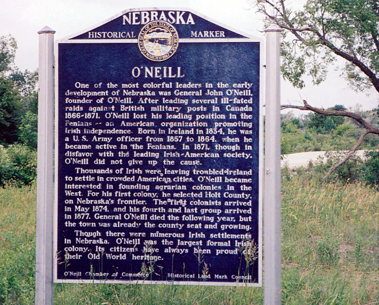
O’Neill Nebraska Historical Marker — General John O’Neill, Founder
#image_title
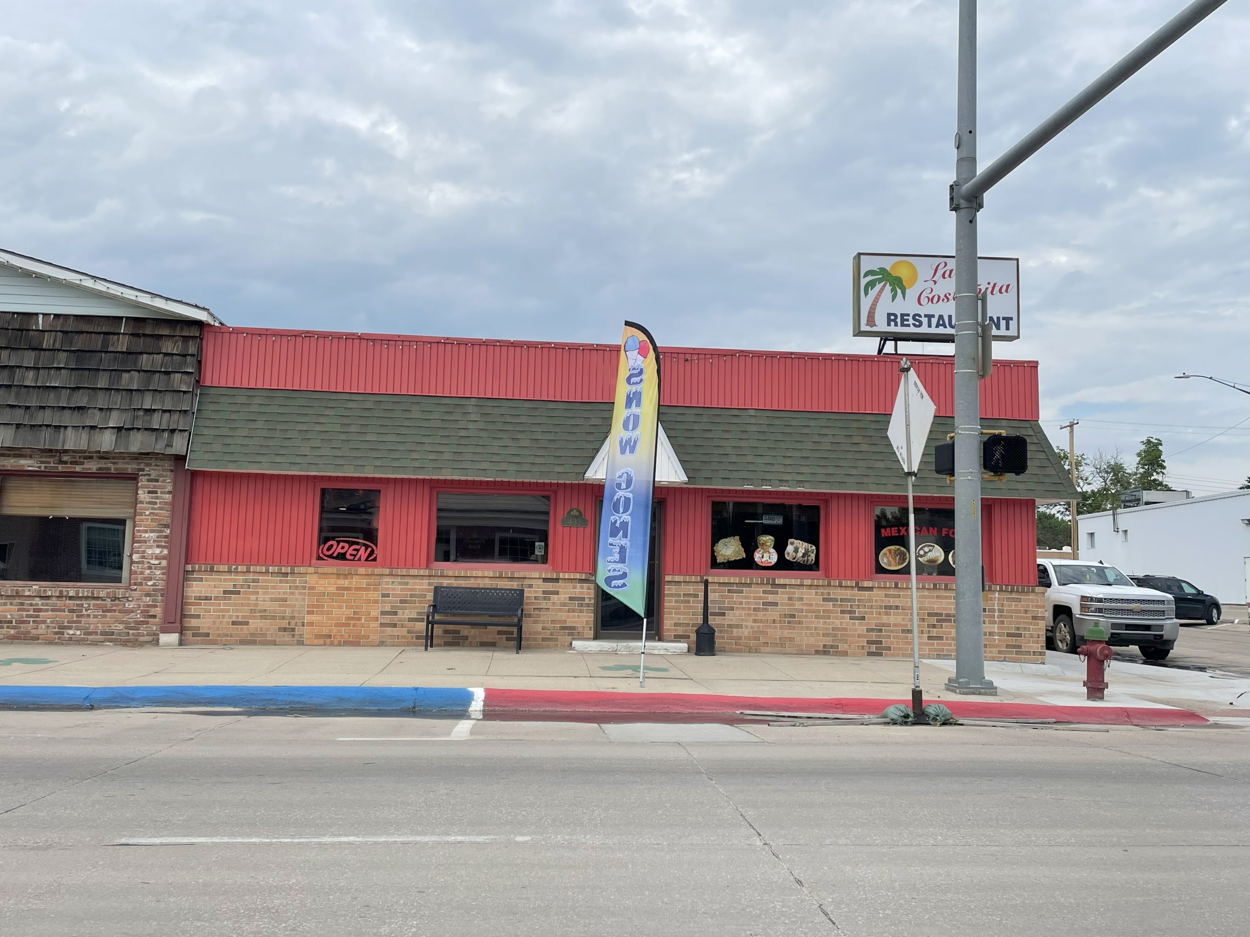
Mexican Restaurant O’Neill Nebraska
Mexican Restaurant O’Neill Nebraska
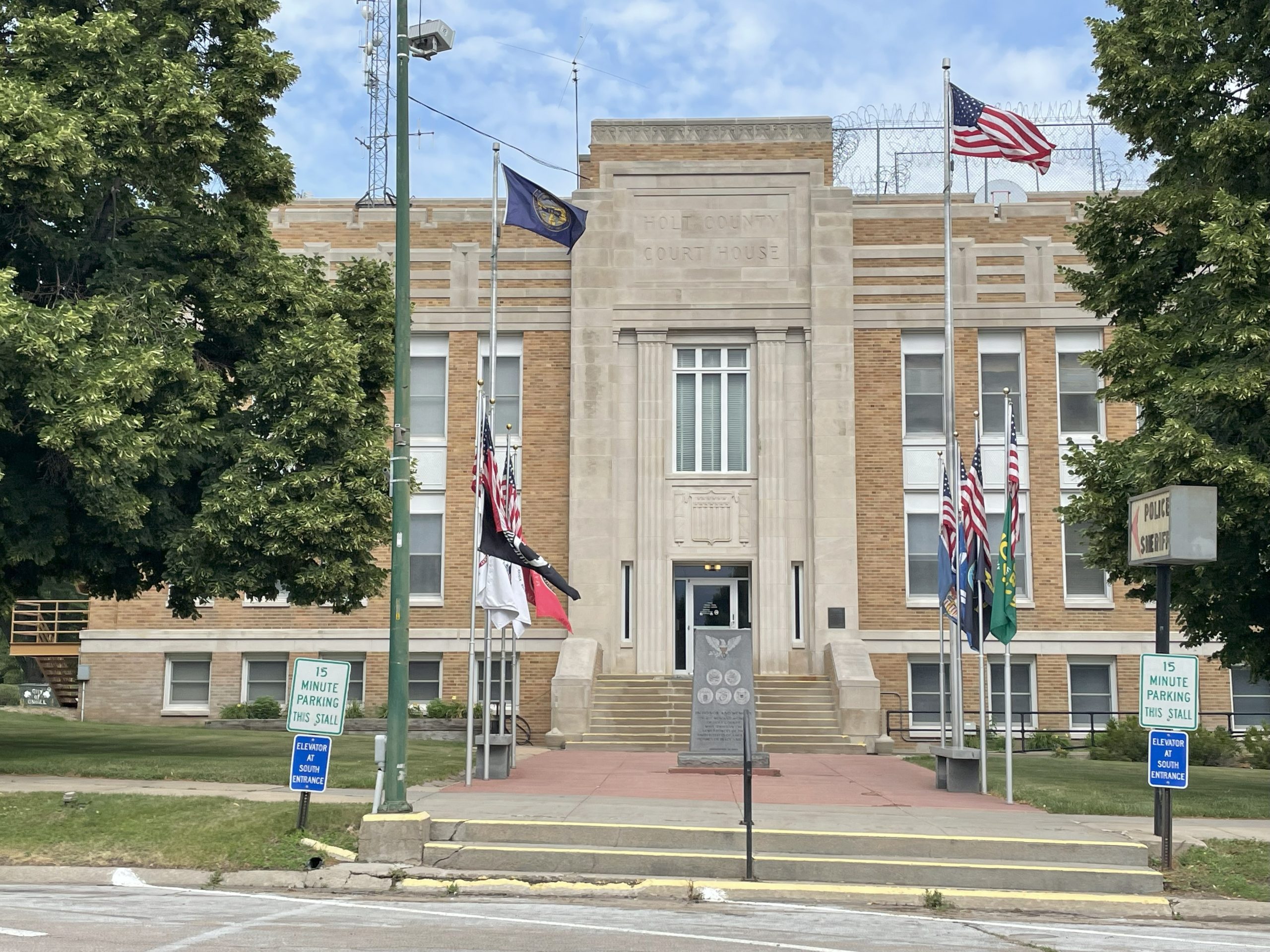
Holt County Court House O’Neill Nebraska
Holt County Court House O’Neill Nebraska
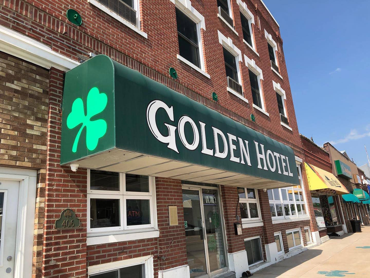
Golden Hotel O’Neill Nebraska
Golden Hotel O’Neill Nebraska
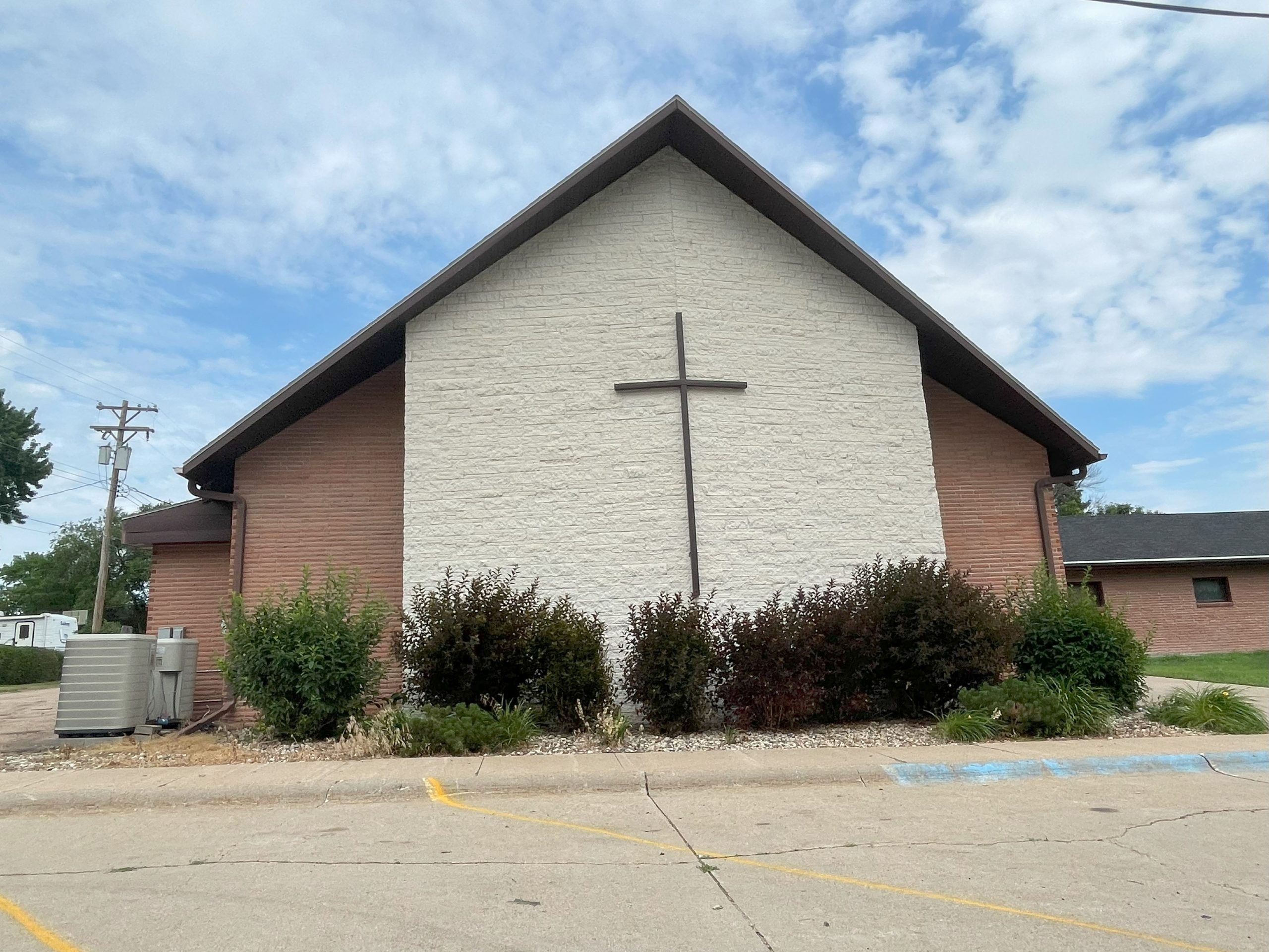
Church, O’Neill Nebraska
Church 2 O’Neill Nebraska
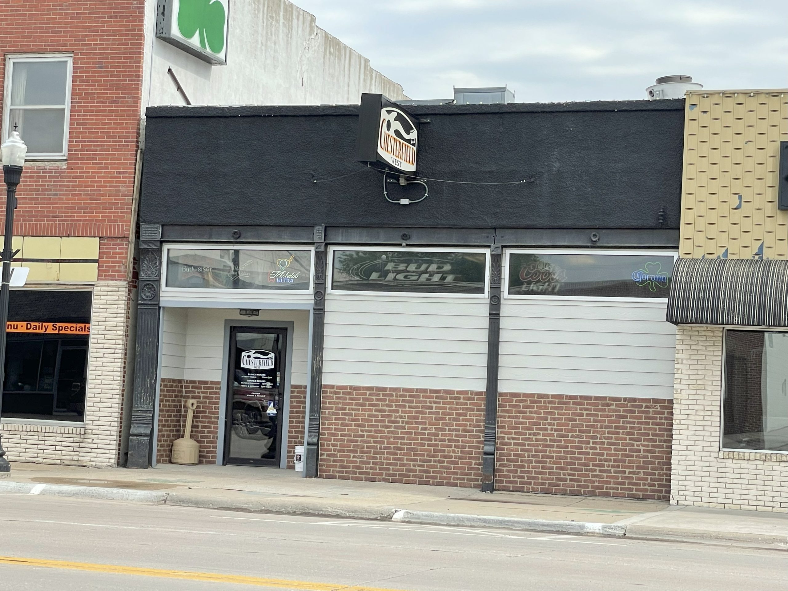
Chesterfield West Bar & Restaurant, O’Neill Nebraska
Chesterfield West O’Neill Nebraska
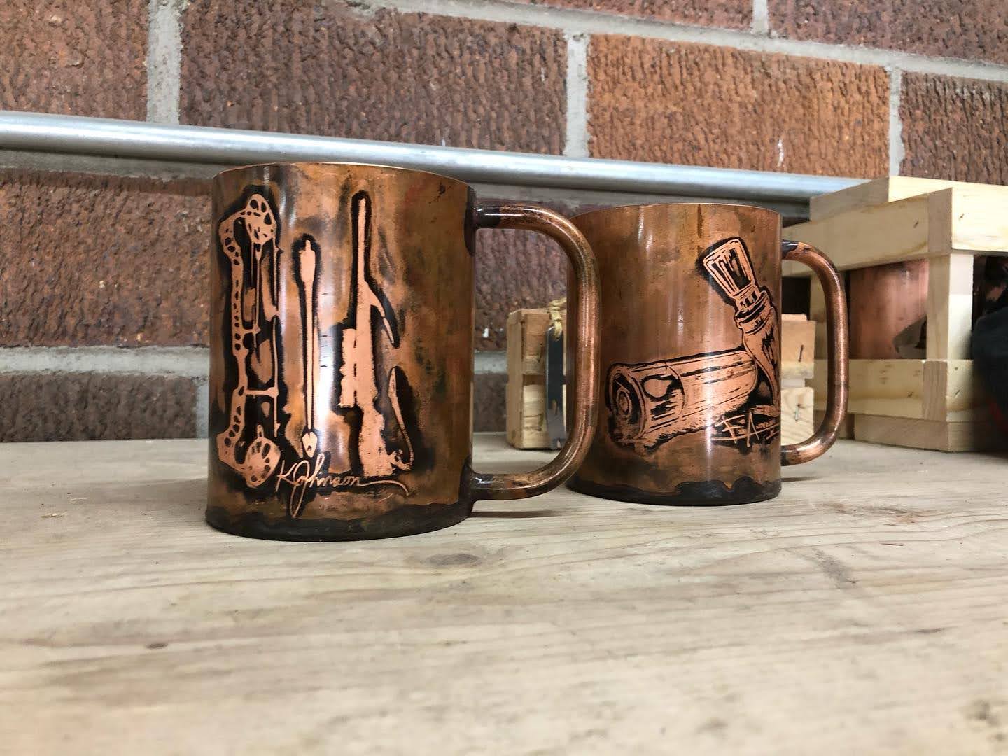
Handlebend Mug made in O’Neill Nebraska
Handlebend Mug made in O’Neill Nebraska
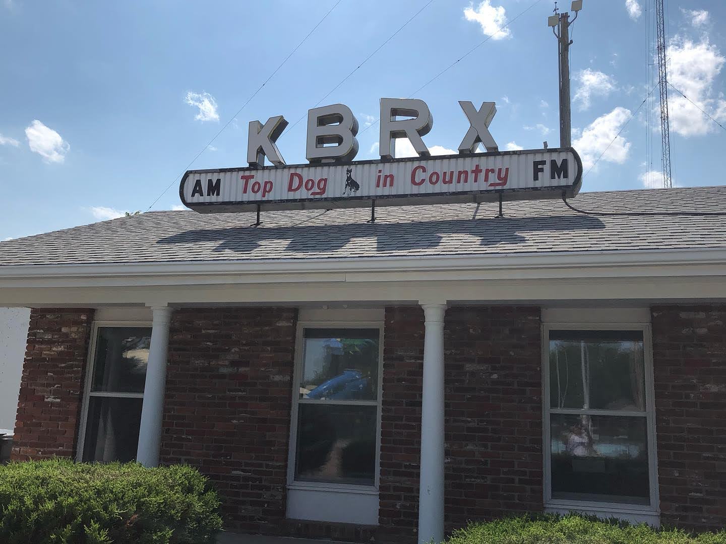
KBRX Radio Station O’Neill Nebraska
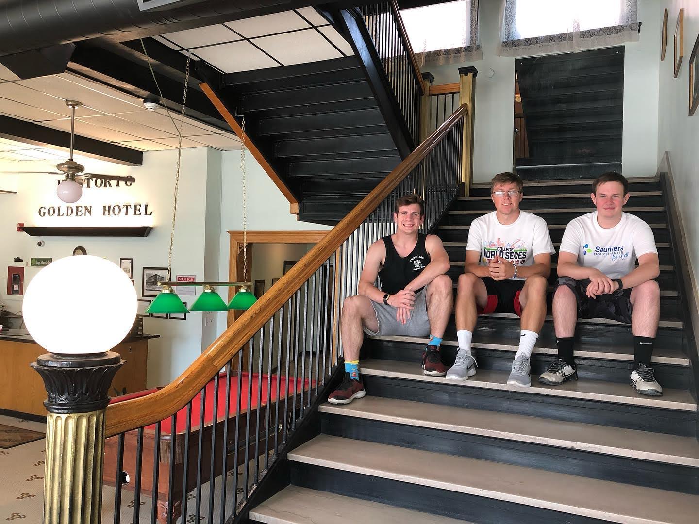
Golden Hotel O’Neill Nebraska Interior
Golden Hotel O’Neill Nebraska Interior
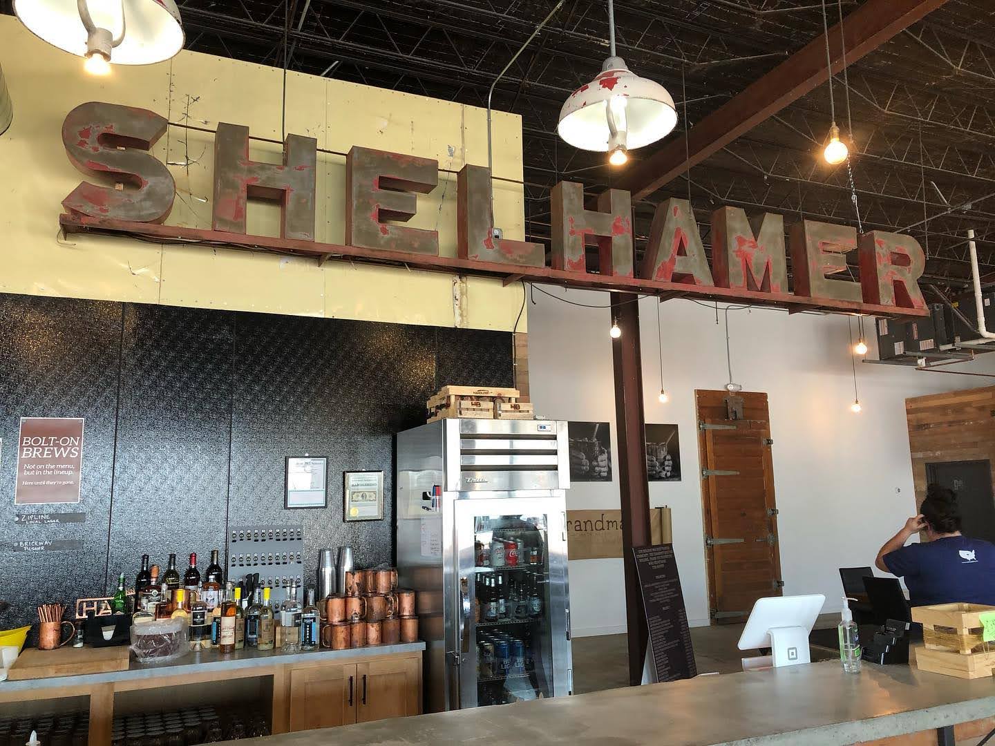
Handlebend O’Neill Nebraska
Handlebend O’Neill Nebraska

Bomgaars O’Neill
Bomgaars O’Neill
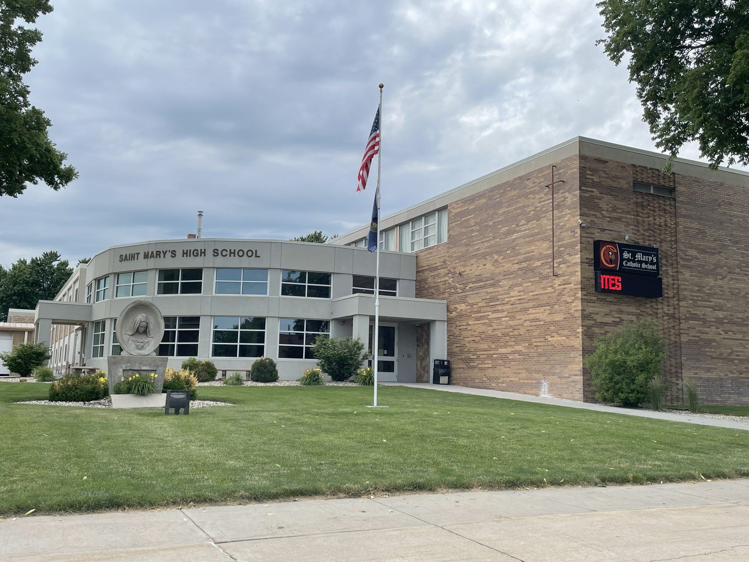
Saint Mary’s High School O’Neill Nebraska
Saint Mary’s High School O’Neill Nebraska
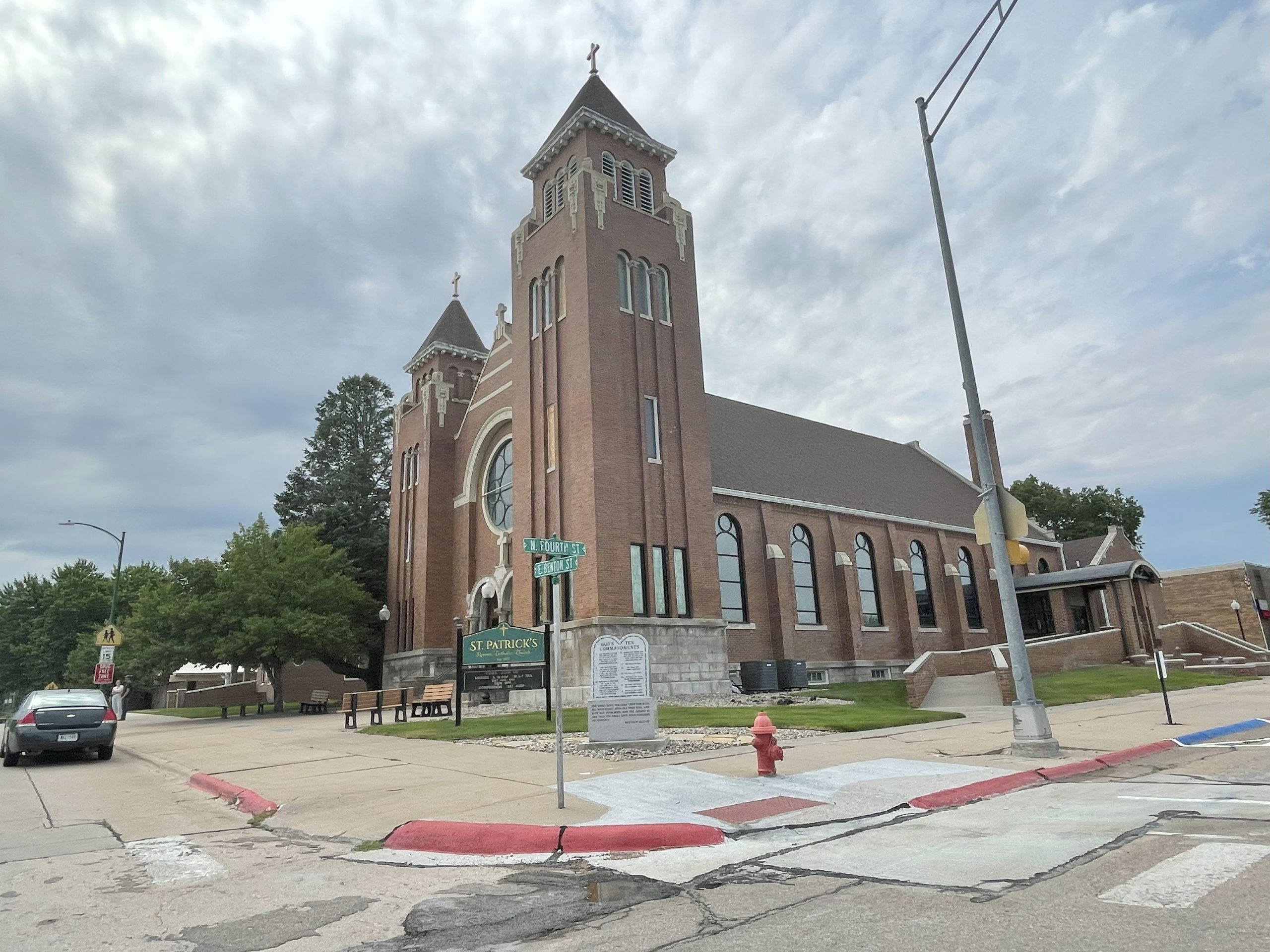
St Pat Catholic Church O’Neill Nebraska
St Pat Catholic Church O’Neill Nebraska
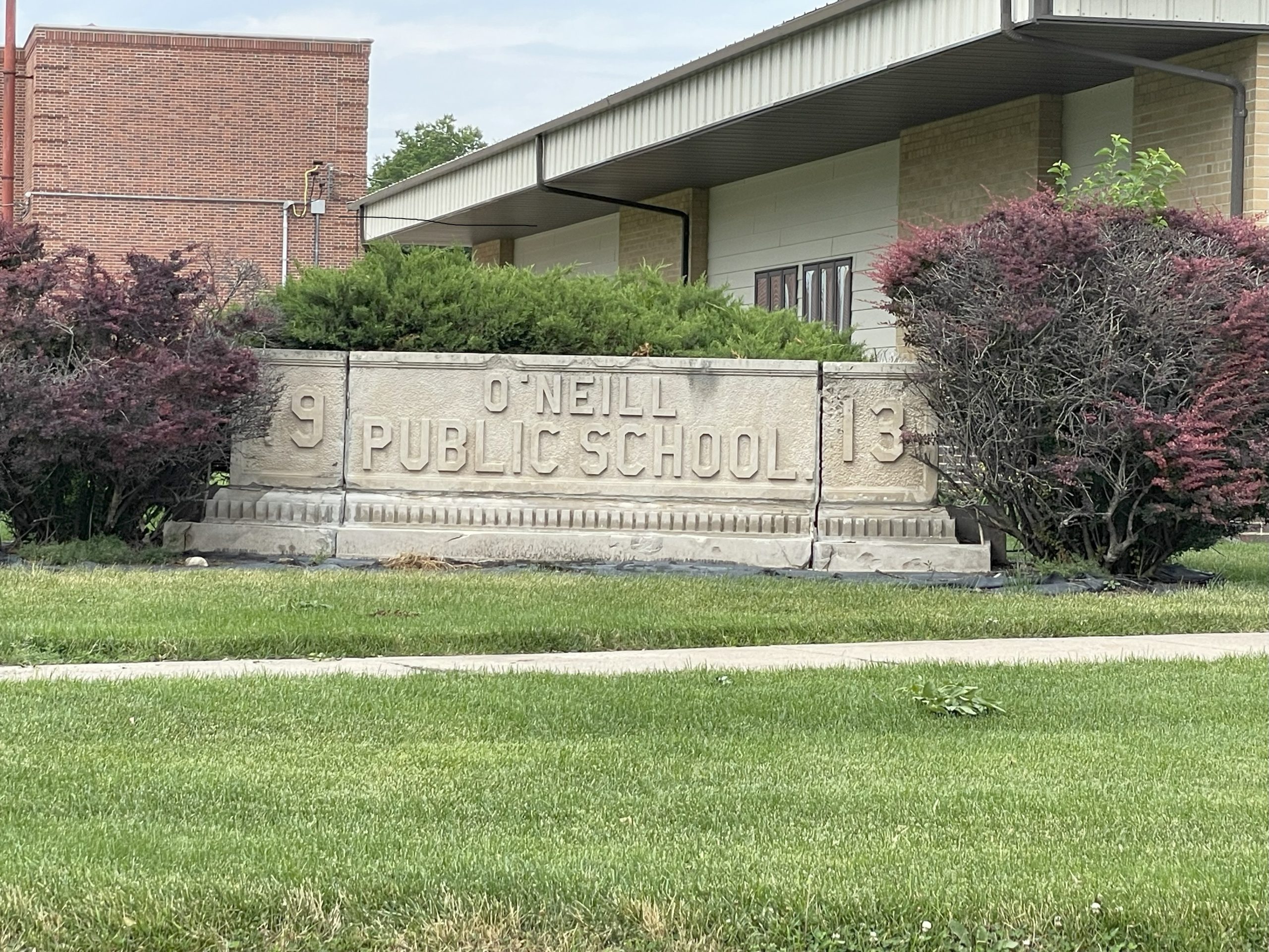
Old O’Neill Public School
Old O’Neill Public School
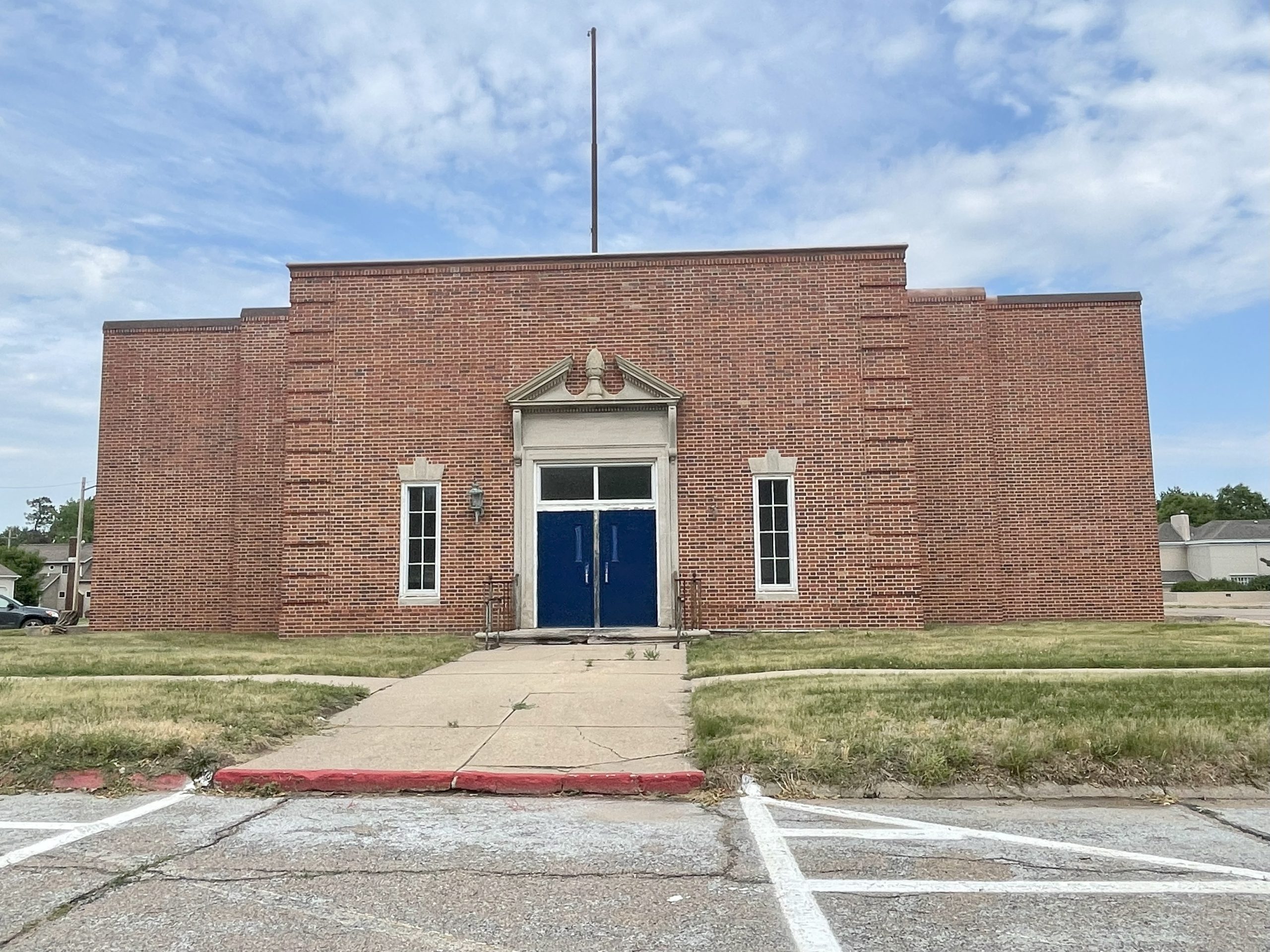
Historic O’Neill Public School Building (Former)
Old School O’Neill
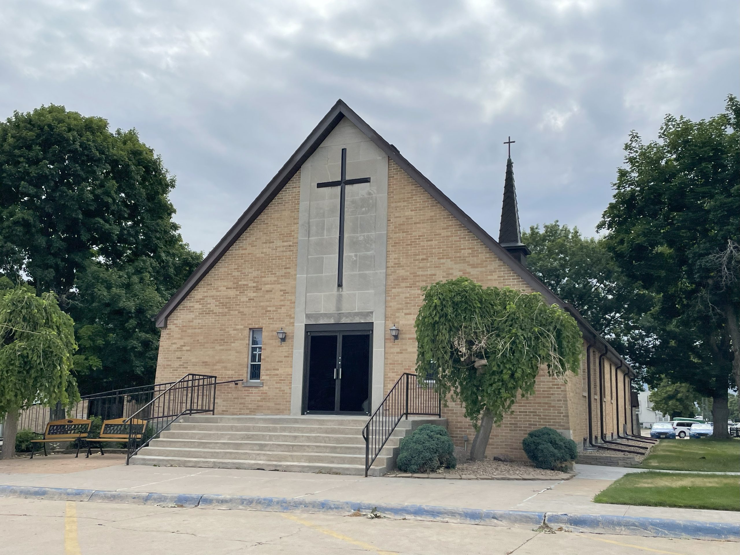
Protestant Church, O’Neill Nebraska
O’Neill Church 1
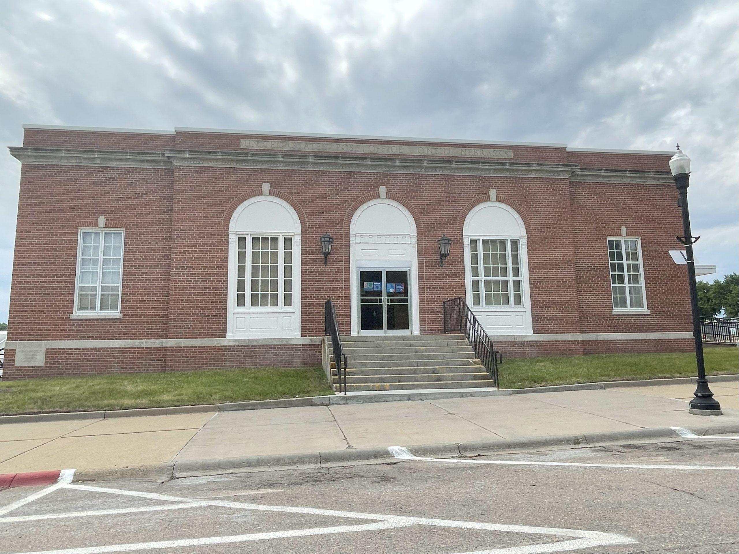
Post Office O’Neill Nebraska
Post Office O’Neill Nebraska
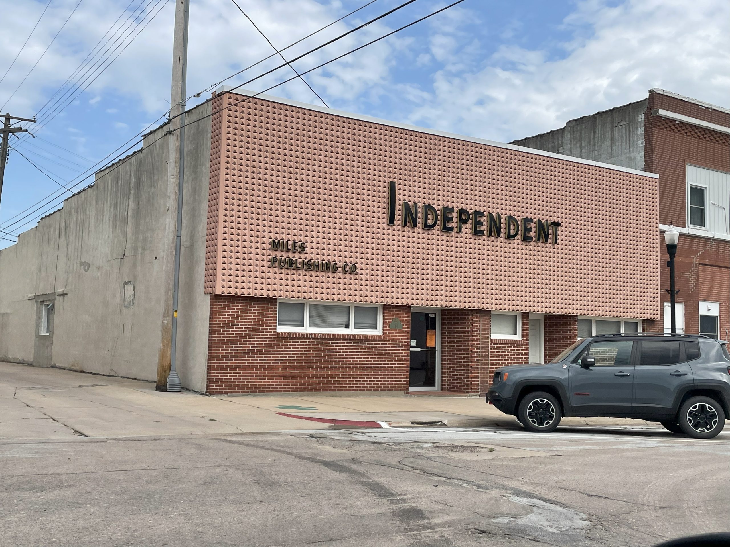
Old Miles Publishing Building O’Neill Nebraska (now removed)
Old Miles Publishing Building O’Neill Nebraska (now removed)
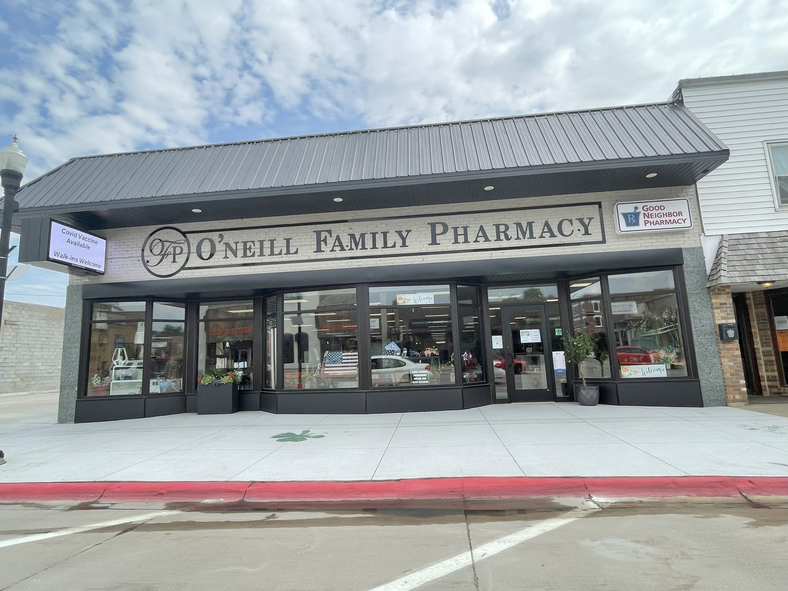
O’Neill Family Pharmacy O’Neill Nebraska
O’Neill Family Pharmacy O’Neill Nebraska

O’Neill Country Club
O’Neill Country Club
Navigate to O’Neill
Wandermore in Nebraska
Want to see more photos and read up on the history of all 531 of Nebraska's incorporated communities? I have written a travel guide that features tons of history and access to photos, and useful travel information about restaurants, breweries, golf courses, and more for every town. Join over 9,900 other individuals who have copies of my books and "wander more" across the Midwest! https://wandermorepublishing.com/shop/p/nebraskatravelguide
See something missing or out of date on this page? Help us keep O’Neill accurate — submit a correction or suggest a listing.