Historic Marker

Displaying listings from all locations.

Use the fields below to filter listings for a particular country, city, or state. Start by selecting the top most region, the other fields will be automatically updated to show available locations.

Use the Clear Filter button if you want to start over.

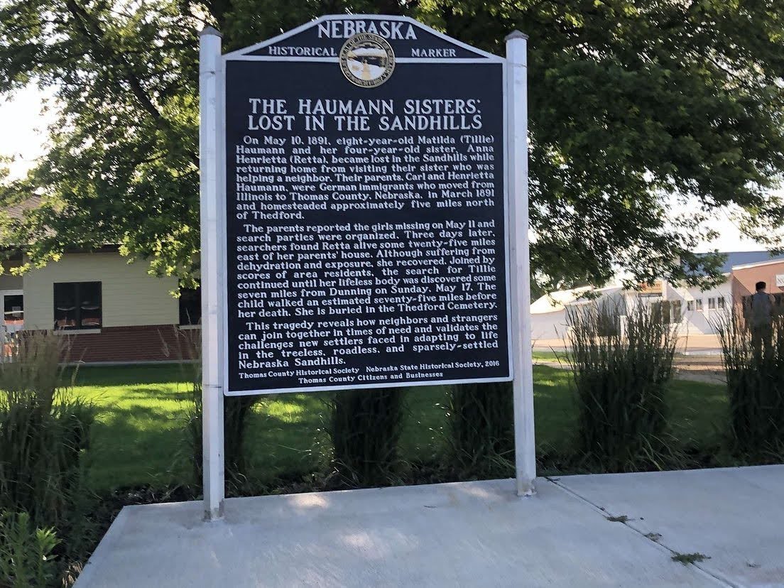
The Haumann Sisters: Lost in the Sandhills (Historical Marker)
Average Rating
(More feedback needed)
Listing Category
Short Description

History Nebraska marker No. 517 and life-size bronze on the Thedford courthouse square telling the story of two sisters lost in the Sandhills in 1891.


Address
Courthouse square, Walnut St. north of Main St.
Thedford, NE
69166
State
Nebraska
Country
USA
County
Thomas County
Town
Thedford
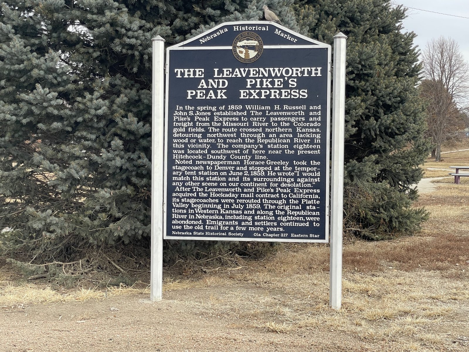
The Leavenworth and Pike’s Peak Express Historical Marker
Average Rating
(More feedback needed)
Listing Category
Short Description

State historical marker in Stratton on the 1859 stage line to the Colorado gold fields and Horace Greeley's stop at Station 18.


Address
Texas Ave., Pitner Park
Stratton, NE
69043
State
Nebraska
Country
USA
County
Hitchcock County
Town
Stratton
The Neligh Mill Bridge
Average Rating
(More feedback needed)
Listing Category
Short Description

The Neligh Mill Bridge carries Elm Street over the Elkhorn River beside the Neligh Mill.


Address
The Neligh Mill Bridge
Neligh, NE
68756
State
Nebraska
Country
USA
County
Antelope County
Town
Neligh
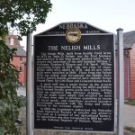
The Neligh Mills
Average Rating
(More feedback needed)
Listing Title
Listing Category
Short Description

The Neligh Mill State Historic Site, at N Street and Wylie Drive, preserves the flour mill John Neligh started in 1873, which made Gold Medal Flour until 1940 and still has its original 1880s equipment.


Address
The Neligh Mills
Neligh, NE
68756
State
Nebraska
Country
USA
County
Antelope County
Town
Neligh
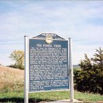
The Ponca Tribe
Average Rating
(More feedback needed)
Listing Title
Listing Category
Short Description

This has been the homeland of the Ponca Indians since earliest recorded history.


Address
The Ponca Tribe
Niobrara, NE
68760
State
Nebraska
Country
USA
County
Knox County
Town
Niobrara
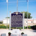
The Sage Brothers
Average Rating
(More feedback needed)
Listing Title
Listing Category
Short Description

On the night of June 2, 1969, while on maneuvers in the South China Sea off the coast of Vietnam, the Australian aircraft carrier Melbourne was in collision with the destroyer USS Frank E. Evans.


Address
The Sage Brothers
Niobrara, NE
68760
State
Nebraska
Country
USA
County
Knox County
Town
Niobrara
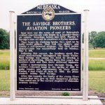
Savidge Brothers, Aviation Pioneers,
Average Rating
(More feedback needed)
Listing Category
Short Description

The Savidge Brothers, Aviation Pioneers

Near here was the scene of some of Nebraska’s earliest experiments with flight in a heavier-than-air vehicle. Sometime before late 1907, Martin P. Savidge’s sons set out to construct a flying machine.


They began by studying hawks, then went on to build model gliders, then full size gliders, and finally a self-powered airplane. The first public demonstration was successfully held on Sunday, May 7, 1911.


Address
The Savidge Brothers, Aviation Pioneers
Ewing, NE
68735
State
Nebraska
Country
USA
County
Holt County
Town
Ewing
Average Rating
(More feedback needed)
Listing Category
Short Description

Granite marker for a Pony Express home station and stage dinner stop, about 5 miles southwest of Hastings on South Osage Avenue.


Address
S. Osage Ave., about 280 yards south of W. Oak Ridge Rd.
Hastings, NE
68901
State
Nebraska
Country
USA
County
Adams County
Town
Hastings
Average Rating
(More feedback needed)
Listing Category
Short Description

Roadside marker and pull-off north of Homer for Tonwantonga, the Omaha tribe's Big Village of about 1775–1845, visited by Lewis and Clark in 1804.


Address
US 75/77, about 1 mi north of Homer
Homer, NE
68030
Listing Tags
State
Nebraska
Country
USA
County
Dakota County
Town
Homer
Average Rating
(More feedback needed)
Listing Category
Short Description

Never-plowed prairie on the overland trail near Alda; on the National Register.


Address
Guenther Rd. and Alda Rd.
Alda, NE
68810
Listing Tags
State
Nebraska
Country
USA
County
Hall County
Town
Alda
Average Rating
(More feedback needed)
Listing Category
Short Description

Tri-Trails Park Historical Markers are in Tri-Trails Park at Lawrence Road and West Road 80, about 1 mile south of Ogallala and one block west of Highway 61.


Address
S. Hwy 61 and Road West 80
Ogallala, NE
69153
State
Nebraska
Country
USA
County
Keith County
Town
Ogallala
Average Rating
(More feedback needed)
Listing Category
Short Description

The US Highway 281 historical marker, Nebraska State Historical Society marker 228, is at a pull-out on the west side of US 281, 8.6 miles south of US 20 near O'Neill.


Address
US Highway 281 Historical Marker
West side of US 281, 8.6 miles south of US 20
O'Neill, NE
68763
State
Nebraska
Country
USA
County
Holt County
Town
O'Neill
Average Rating
(More feedback needed)
Listing Category
Short Description

Historical marker and rock cabin on US 77 north of Oakland at the homestead of Swedish settler Victor Colson.


Address
US 77, north of Oakland
Oakland, NE
68045
Listing Tags
State
Nebraska
Country
USA
County
Burt County
Town
Oakland
Average Rating
(More feedback needed)
Listing Category
Short Description

History Nebraska marker No. 497 (2014) in Halsey on the founding of the town and the hand-planted national forest.


Address
Halsey Community Center, NE 2 (Jewett Ave.) east of Pearl St.
Halsey, NE
69142
Listing Tags
State
Nebraska
Country
USA
County
Thomas County
Town
Halsey
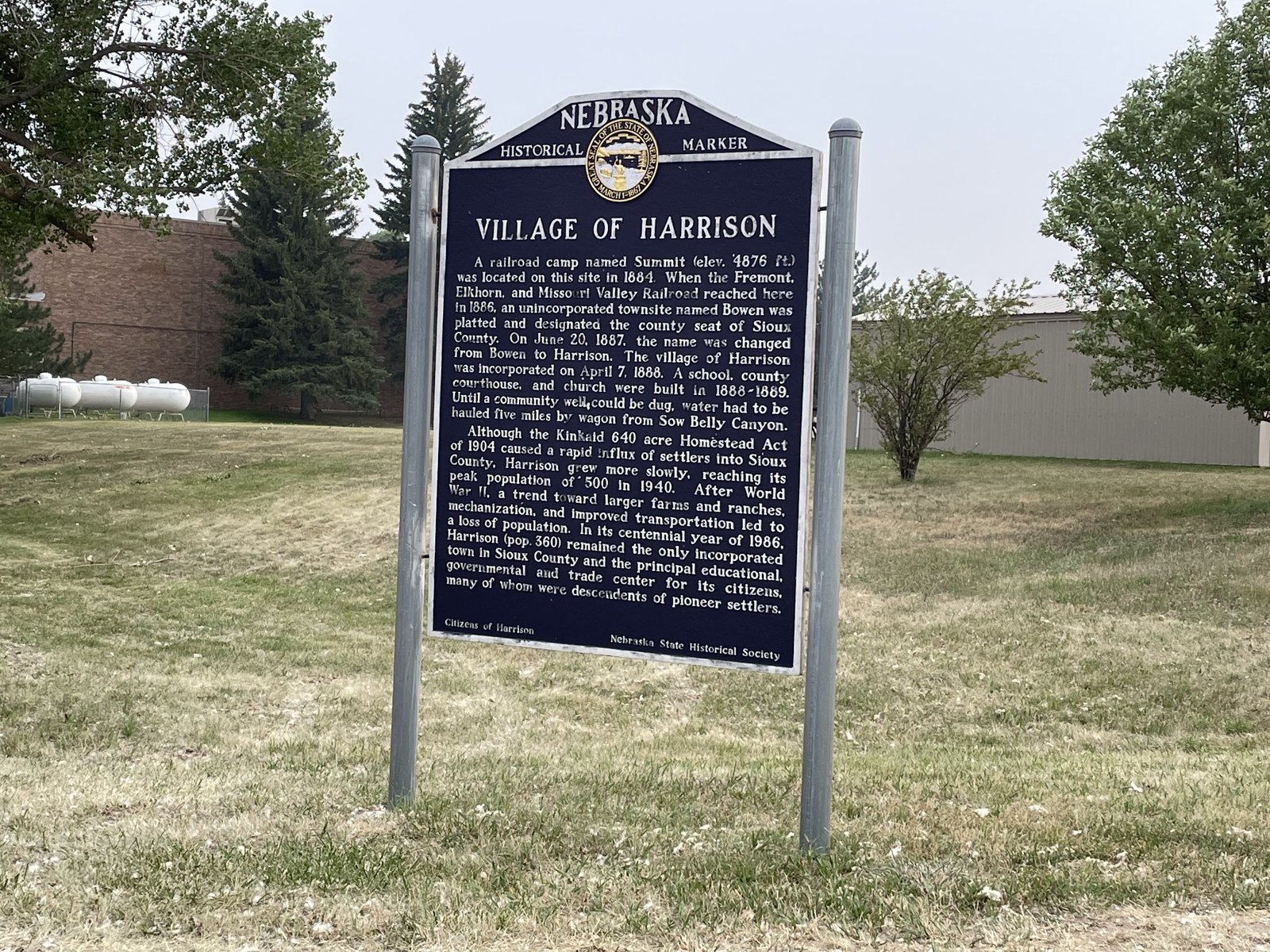
Village of Harrison Historical Marker
Average Rating
(More feedback needed)
Listing Category
Short Description

State marker on US 20 in Harrison on the town's founding as Bowen in 1886, its renaming in 1887 and its claim as Nebraska's highest town.


Address
US 20 at Kate St.
Harrison, NE
69346
State
Nebraska
Country
USA
County
Sioux County
Town
Harrison
Average Rating
(More feedback needed)
Listing Category
Short Description

Its Wall of Honor lists Washington County veterans from all branches and eras, with a Walk of Flags.


Address
Washington County Veterans Tribute Plaza
US Highways 30 and 75
Blair, NE
68008
Listing Tags
State
Nebraska
Country
USA
County
Washington County
Town
Blair
Average Rating
(More feedback needed)
Listing Category
Short Description

The Wayne Commercial Historic District covers about 13 acres of downtown Wayne along Main and 2nd Streets and was listed on the National Register of Historic Places in 2009.


Address
Wayne Commercial Historic District
Main St and 2nd St
Wayne, NE
68787
State
Nebraska
Country
USA
County
Wayne County
Town
Wayne
Average Rating
(More feedback needed)
Listing Category
Short Description

Wayne Historical Marker stands in Henry Victor Park facing South Main Street (Highway 15), 0.1 mile south of Clark Street in Wayne.


Address
Wayne Historical Marker
Victor Park, S Main St (Hwy 15)
Wayne, NE
68787
State
Nebraska
Country
USA
County
Wayne County
Town
Wayne
Average Rating
(More feedback needed)
Listing Category
Short Description

History Nebraska marker #430 on NE 79 for Webster, a crossroads community from 1871 whose school closed in 1999.


Address
NE 79 at County Road K
Scribner, NE
68057
Listing Tags
State
Nebraska
Country
USA
County
Dodge County
Town
Webster
Average Rating
(More feedback needed)
Listing Category
Short Description

History Nebraska marker on Main Street about Westerville, Custer County's first town.


Address
Main St. west of Hancock St.
Westerville, NE
68881
State
Nebraska
Country
USA
County
Custer County
Town
Westerville