
- Boone County (1)
- Albion (1)
- Brown County (1)
- Ainsworth (1)
- Cedar County (1)
- Hartington (1)
- Cherry County (1)
- Valentine (1)
- Custer County (1)
- Broken Bow (1)
- Dawes County (2)
- Chadron (2)
- Dodge County (1)
- Fremont (1)
- Douglas County (1)
- Omaha (1)
- Hall County (1)
- Grand Island (1)
- Harlan County (1)
- Alma (1)
- Holt County (4)
- Jefferson County (1)
- Fairbury (1)
- Kearney County (1)
- Minden (1)
- Keith County (1)
- Ogallala (1)
- Knox County (3)
- Bloomfield (1)
- Creighton (1)
- Winnetoon (1)
- Lancaster County (1)
- Lincoln (1)
- Lincoln (1)
- Perkins County (1)
- Grant (1)
- Richardson County (1)
- Falls City (1)
- Rock County (1)
- Bassett (1)
- Sheridan County (1)
- Gordon (1)
- Wayne County (1)
- Wayne (1)
Ainsworth Regional Airport, FAA code ANW, is 6 miles northwest of Ainsworth at an elevation of about 2,589 feet.
About 7 mi northwest of Ainsworth (PO Box 84)
Ainsworth, NE
69210
Albion Municipal Airport (FAA identifier BVN) is about 3 miles northwest of Albion.
Albion, NE
68620
Alma Municipal Airport, FAA identifier 4D9, is a city-owned public airport about a mile northeast of Alma at an elevation of about 2,073 feet.
1 mile northeast of Alma
Alma, NE
68920
Bloomfield Municipal Airport is a public general aviation airport serving Bloomfield and Knox County, Nebraska.
54240 880th Rd
Bloomfield, NE
68718
Brenner Field (FAA identifier FNB) is the Falls City municipal airport at 3301 North Business Parkway.
3301 N Business Pkwy
Falls City, NE
68355
Broken Bow Municipal Airport/Keith Glaze Field (FAA identifier BBW) is 2 miles north of downtown Broken Bow.
Broken Bow, NE
68822
Central Nebraska Regional Airport (GRI) serves Grand Island and the surrounding region with commercial air service.
3773 Sky Park Rd.
Grand Island, NE
68801
Chadron Municipal Airport is a public general aviation airport serving Chadron, Nebraska and the Dawes County region with runway facilities and flight services for private and charter aircraft.
90 Airport Rd
Chadron, NE
69337
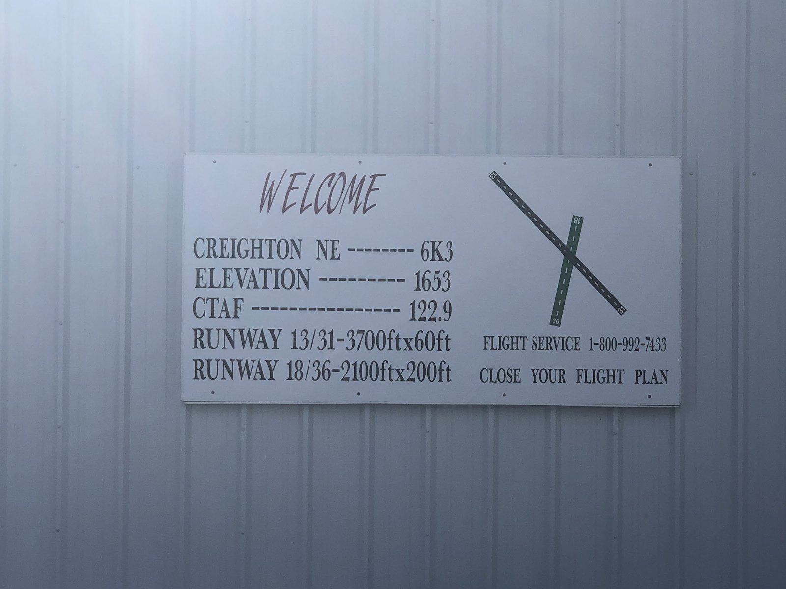
Creighton Municipal Airport is a public general aviation airport serving Creighton and Knox County, Nebraska.
Creighton, NE
68729
Nebraska's primary commercial airport serving the Omaha metro area. Operated by the Omaha Airport Authority. Technically located in Carter Lake, Iowa, but universally considered Omaha's airport. Home to major carriers including United, Delta, American, Southwest, and more. FAA: OMA / KOMA.
4501 Abbott Dr
Omaha, NE
68110
Fairbury Municipal Airport (FAA identifier FBY) is 3 miles northeast of town.
Fairbury, NE
68352
Public general aviation airport serving the Fremont and Dodge County area. 6,350 ft main runway capable of handling corporate jets. Home to approximately 50 based aircraft and a local Civil Air Patrol chapter. Operated by the City of Fremont; fixed-base operator is Fremont Aviation.
1777 W 23rd St
Fremont, NE
68025
Garwood Farms Airport is a private airstrip in Nebraska serving agricultural and general aviation operations in the area.
6736+5R
Chambers, NE
68725
Gordon Municipal Airport (FAA identifier GRN) is 1 mile east of Gordon and is owned by the Gordon Airport Authority.
About 1 mi east of town on US 20
Gordon, NE
69343
Grant Municipal Airport (FAA identifier GGF) is 2 miles north of Grant and is owned by the City of Grant.
Grant, NE
69140

Hartington Municipal Airport, Bud Becker Field, FAA code 0B4, is about 2 miles southeast of town at an elevation of 1,388 feet.
56395 881st Rd
Hartington, NE
68739
Herberts Farm Airport is a private agricultural airstrip in Winnetoon, Nebraska.
Winnetoon, NE
68789

J&J Aero Services provides aviation fuel, maintenance, and fixed-base operator services at Chadron Municipal Airport in Chadron, Nebraska.
1000 Airport Rd
Chadron, NE
69337
Lincoln's commercial airport, a former Air Force base, with a renovated six-gate terminal and the Nebraska Air Guard's tanker wing.
2400 West Adams Street
Lincoln NE
Lincoln, NE
68524
Miller Field (FAA identifier VTN) is Valentine's municipal airport, 1 mile south of town.
About 1 mi south of town
Valentine, NE
69201